
Introduction
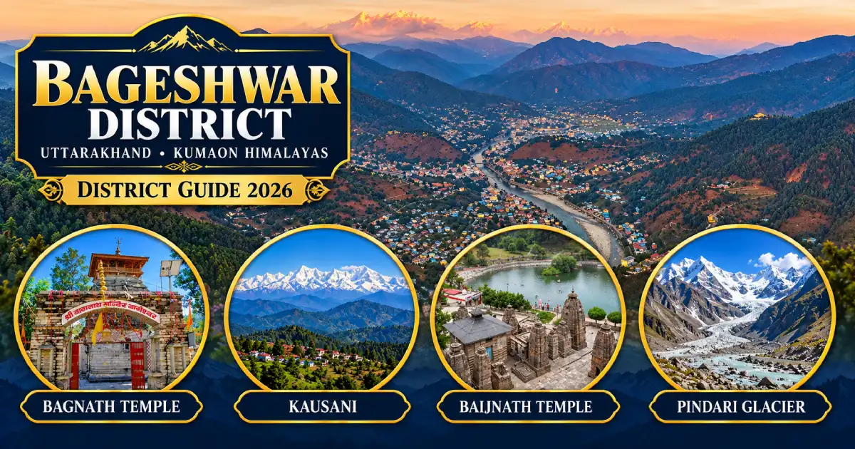
Bageshwar district is a small Himalayan district in the Kumaon division of Uttarakhand. It is best known for the ancient Bagnath Temple at the Saryu-Gomti confluence, the hill station of Kausani, the Katyuri-era temples of Baijnath and the trek to Pindari Glacier. The district headquarters is Bageshwar town, which is also the usual starting point for the Pindari, Kafni and Sunderdhunga glacier treks.
Bageshwar was carved out of Almora district in 1997 and is one of the 13 districts of Uttarakhand. This guide covers its map and location, tehsils and blocks, history, places to visit, weather, travel, trekking, sports, culture and public services.
Several places that travellers often associate with Bageshwar are in the district itself. Kausani, Baijnath, Kapkot, Garur, Pindari Glacier and Kafni Glacier are all in Bageshwar district.
District at a Glance
- State: Uttarakhand; division: Kumaon.
- Headquarters: Bageshwar town, at the confluence of the Saryu and Gomti rivers.
- Established: 15 September 1997, carved out of Almora district. It became part of Uttarakhand on 9 November 2000.
- Area: About 2,241 square kilometres, according to district statistical summaries; older industrial profile documents give a smaller figure of about 1,688 square kilometres.
- Forest cover: About 56 per cent of the district area (2023).
- Population: 2,59,898, according to Census 2011, making it the third least populous district in Uttarakhand after Rudraprayag and Champawat. This is a historical census figure, not a current estimate.
- Sex ratio (Census 2011): 1,090 females per 1,000 males; literacy: about 80 per cent; density: about 116 people per square kilometre.
- Language: Kumaoni is the first language of about 94 per cent of the population.
- Three development blocks: Bageshwar, Garur and Kapkot.
- Tehsils include: Bageshwar, Kapkot, Garur and Kanda. Recent lists also include Dugnakuri, so check the district website for the current list.
- PIN codes: Bageshwar 263642, Garur 263641, Kapkot 263632 and Kanda 263631; STD code: 05963.
- Main attractions: Bagnath Temple, Baijnath, Kausani, Pindari Glacier, Kafni Glacier, Sunderdhunga, Kanda and Vijaypur.
Location and Geography
Bageshwar district lies in the eastern Kumaon Himalaya. It is bordered by Chamoli district on the west and northwest, Pithoragarh on the northeast and east, and Almora on the south. The Great Himalaya rises along its northern edge.
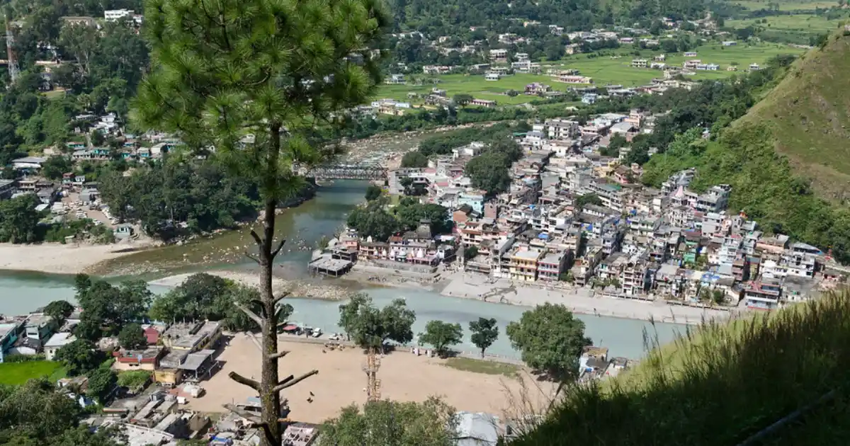
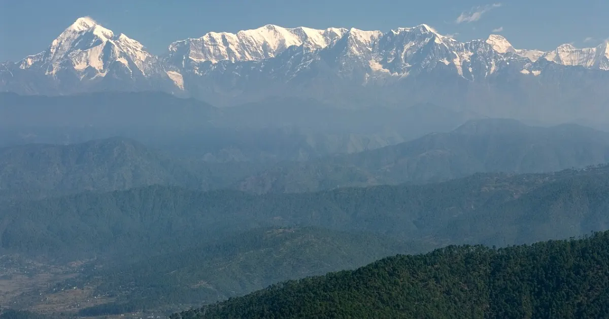
Bageshwar town sits in a valley at the confluence of the Saryu and Gomti rivers, with the Bhileshwar and Nileshwar mountains on either side. The Pindar River, which rises near the Pindari Glacier, drains the northern part of the district and later joins the Alaknanda at Karnaprayag. Kausani lies on a ridge overlooking the Katyur valley, with the peaks of Trishul, Nanda Devi, Nanda Kot and Panchachuli visible on clear days.
Altitudes vary widely: Baijnath is at about 1,126 metres, Garur at about 1,150 metres, Kausani at about 1,890 metres, Khati village at about 2,200 metres and the Pindari Glacier trail rises to nearly 3,700 metres. Hill roads are slow, so plan journeys by road corridor rather than by distance on a map.
History of Bageshwar District
According to the district administration, the area that now forms Bageshwar district was historically known as Danpur and was ruled by the Katyuri kings from the 7th century. Baijnath, then called Kartikeyapura, was an important Katyuri capital. After the Katyuri kingdom broke up in the 13th century, the area remained under the Baijnath Katyuris until 1565, when the Chand king Balo Kalyan Chand annexed it to Kumaon.
The Gorkhas of Nepal invaded Kumaon in 1791 and ruled for about 24 years. They were defeated by the East India Company, and Kumaon was ceded to the British under the Treaty of Sugauli in 1816. Bageshwar then became part of the Danpur pargana of Almora district. Bageshwar was historically also a trade mart between Tibet and Kumaon.
Bageshwar has a special place in India’s freedom struggle. At the Uttarayani fair in January 1921, thousands gathered at the Saryu bank, and leaders led by Badri Dutt Pandey, known as Kumaon Kesari, tore up the registers of the forced-labour system called Kuli Begar. Bageshwar was made a separate tehsil in 1974, and the demand for a district began in 1985. The district was formed on 15 September 1997 and joined Uttarakhand in 2000.
Famous Places to Visit in Bageshwar District
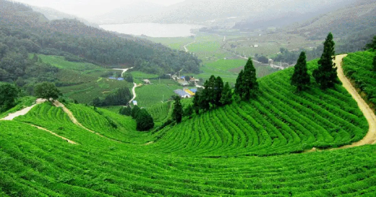
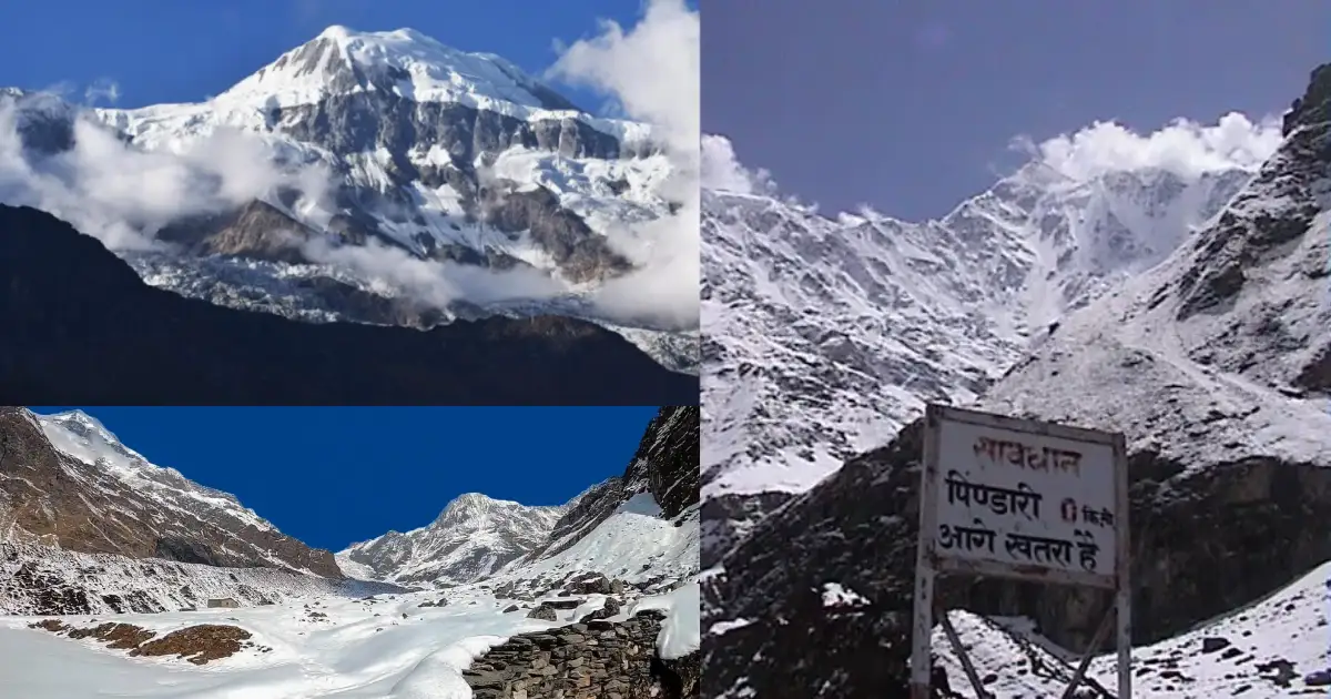
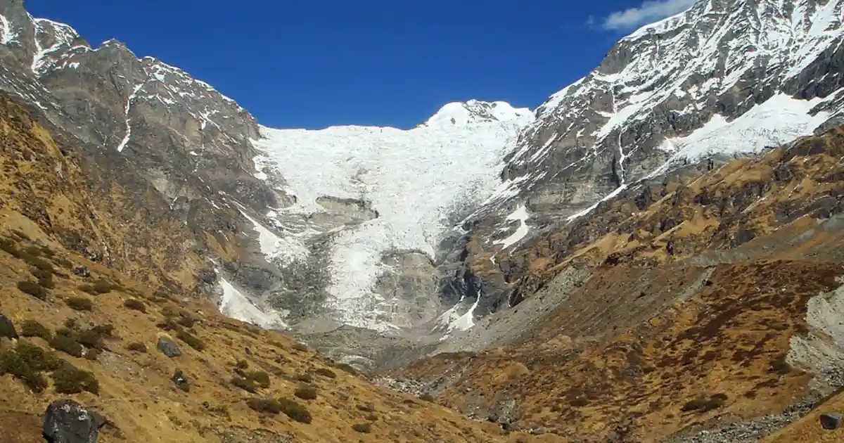
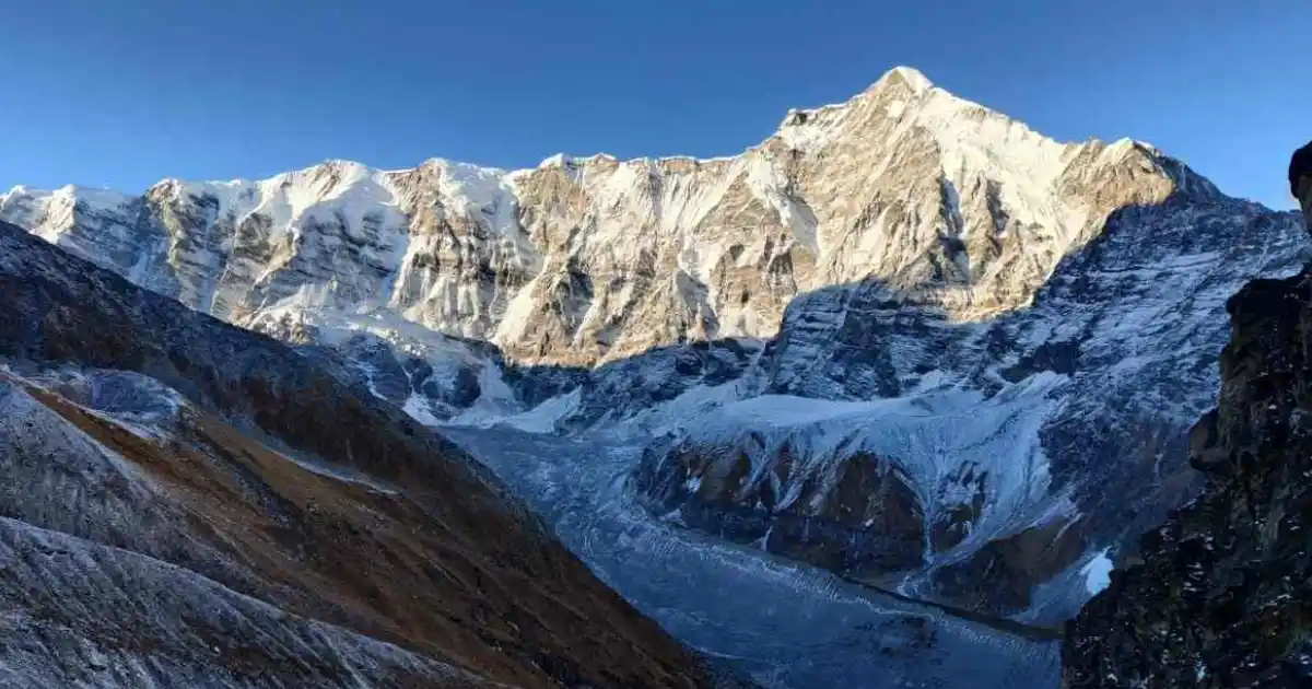
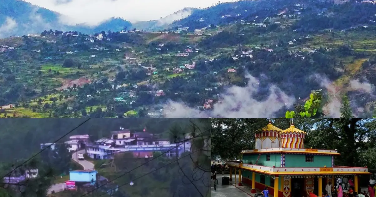
Distances in this guide are approximate. Opening days, entry rules, and seasonal access can change, so check the current arrangements for each place before you travel.
Religious and Heritage Sites
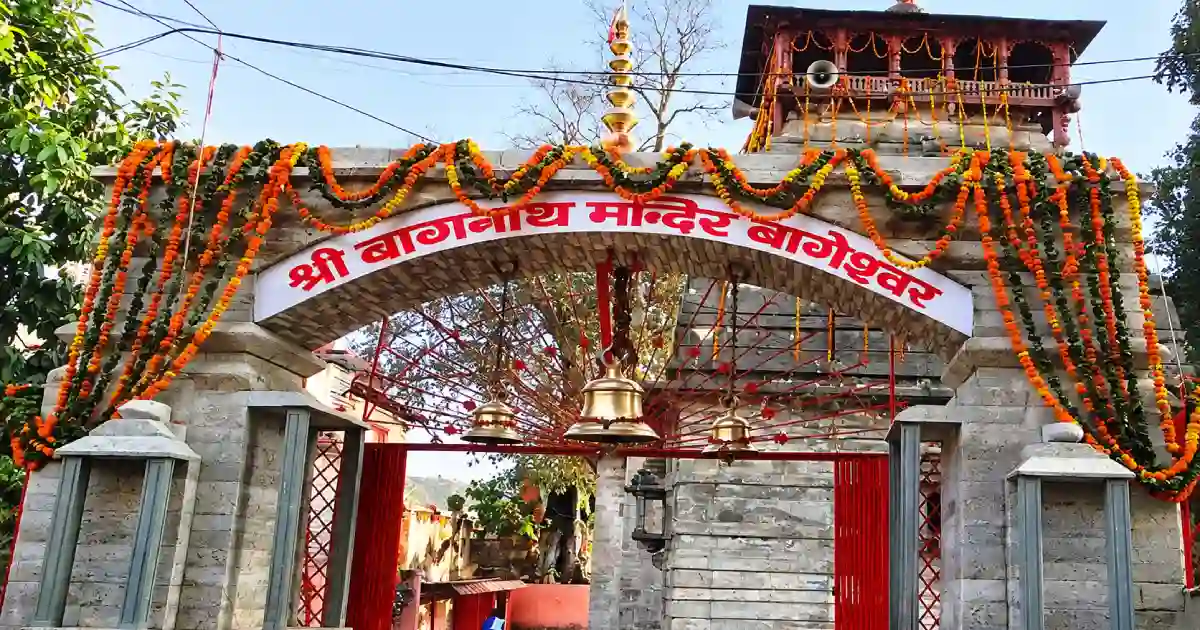
- Bagnath Temple: The main temple of Bageshwar, associated with Shiva’s appearance as a tiger (bagh) to bless the sage, Markandeya. The present building is credited to the Chand king Laxmi Chand; the district website dates it to about 1450, while some sources give 1602. Many smaller shrines stand around it.
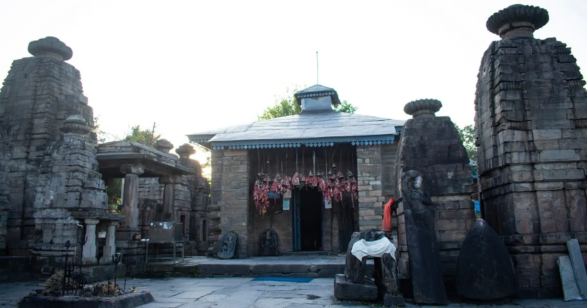
- Baijnath Temples: A group of ancient temples on the left bank of the Gomti, approached from the river by a flight of stone steps. The main temple is dedicated to Vaidyanath (Shiva).
- Chandika Temple: A temple of Goddess Chandika, about half a kilometre from Bageshwar.
- Bhadrakali, Jwala Devi, Agnikund and Shitla Devi temples: Other shrines in and around Bageshwar town.
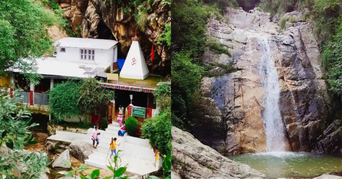
- Rudrahari Mahadev Cave Temple, Kausani: A Shiva shrine in a cave near Rudradhari Falls.
- Kot Bhramari Temple: A well-known temple of the goddess in the Garur area.
Many of these are active places of worship. Dress modestly, follow temple rules, and take care on steep paths and near fast-flowing rivers.
Kausani and the Katyur Valley
Kausani stands at about 1,890 metres on a ridge between the Katyur valley and the Someshwar valley. It is in Garur tehsil, about 40 km from Bageshwar and about 16 km from Garur. On clear mornings, a long line of snow peaks, including Trishul, Nanda Devi, Nanda Kot and Panchachuli, glows at sunrise.
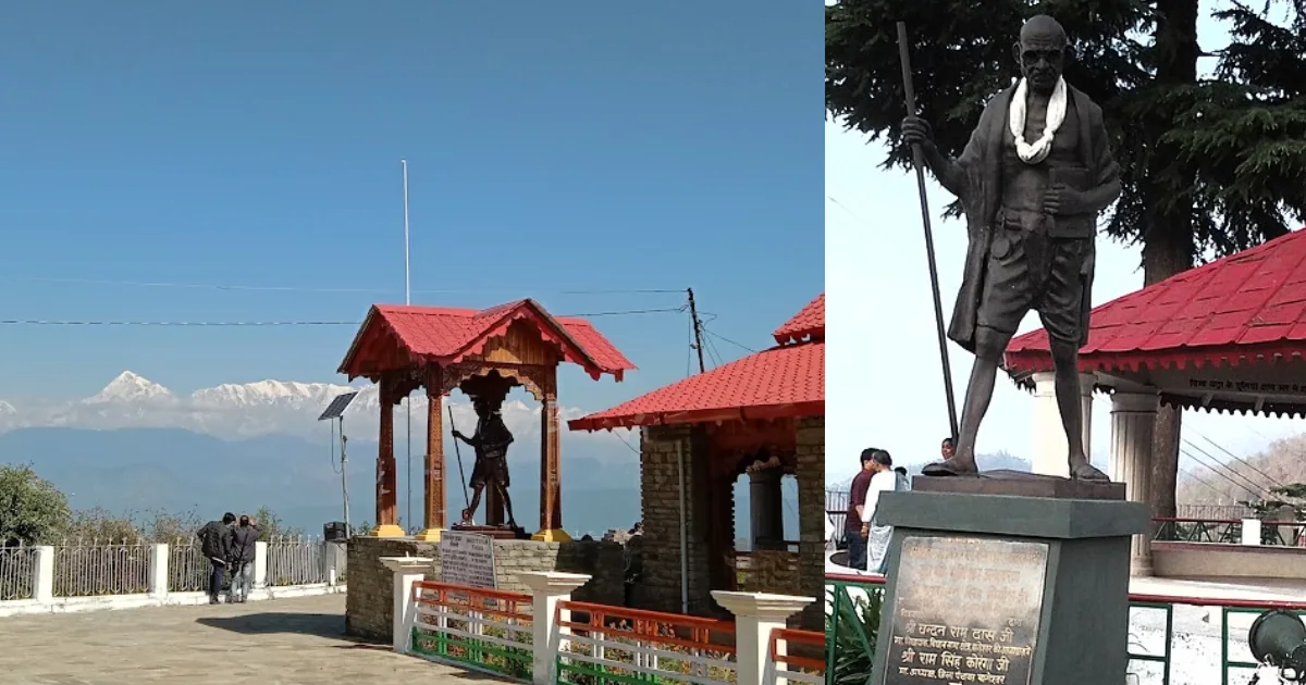
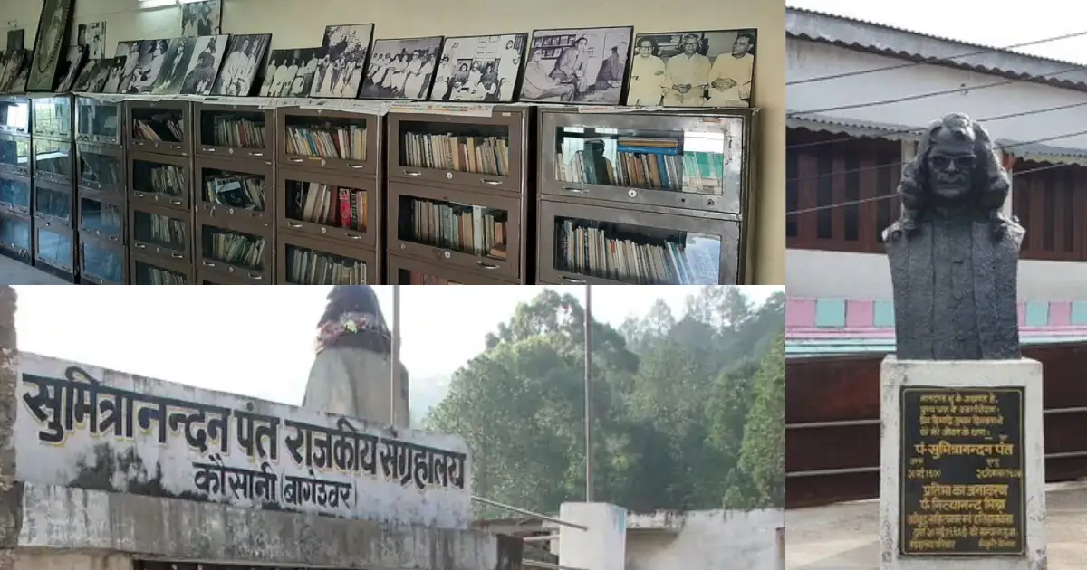
Mahatma Gandhi stayed at what is now the Anasakti Ashram in 1929, and the poet Sumitranandan Pant was born in Kausani. The Kausani Tea Estate, Rudradhari Falls, Lakshmi Ashram (a Gandhian institution for women’s education) and the Baijnath temples can all be visited from Kausani. The official district table lists summer temperatures of about 10-26°C and winter temperatures of about 2-15°C for Kausani.
The Katyur valley between Garur and Baijnath was the heartland of the Katyuri kings. Baijnath, with its ancient temples on the Gomti, is about 19 km from Kausani and 26 km from Bageshwar by road, so Kausani, Baijnath and Bageshwar are often visited together. Kausani is a good base for a few relaxed days of walking, sunrise views, and temple visits.
Pindari, Kafni and Sunderdhunga Glaciers
Bageshwar is the main starting point for the glacier treks of the Pindar valley. Pindari Glacier, Kafni Glacier and the Sunderdhunga valley all lie in Bageshwar district.
- Route: Bageshwar to Kapkot, then by road to Loharkhet or Kharkiya, and on foot via Dhakuri or Khati. Khati is the last village on the route. The trail follows the Pindar River through Dwali and Phurkia to the Pindari Zero Point.
- Dwali: A campsite at the confluence of the Pindar and Kafni rivers, where the trail splits towards Pindari Glacier and Kafni Glacier.
- Altitude: Khati is at about 2,200 metres, and the Pindari Zero Point is at about 3,700 metres (sources give 3,660 to 3,820 metres). Kafni Glacier is at about 3,900 metres.
- Duration: The Pindari Glacier trek usually takes about six days from the road head, and longer if you add Kafni Glacier.
- Season: April to June and September to mid-November. The monsoon brings landslides, and winter snow closes the high trail.
- Permits: The route passes through reserve forest areas, so forest entry permission and a trekking permit are required. Check with the Bageshwar district administration or Forest Department and use a registered trek operator.
Kapkot, about 25 km from Bageshwar, is the last major town on the route and the last ATM point, so carry enough cash. Plan acclimatisation days, carry proper gear, and follow weather and safety advisories.
How to Reach Bageshwar
By air: There are no regular flights to Bageshwar. The nearest airport is Pantnagar, about 206-210 km away.
By rail: The nearest railway station is Kathgodam, about 180 km from Bageshwar. Taxis and buses run from Kathgodam and Haldwani to Bageshwar.
By road: Bageshwar is about 470 km from Delhi, 153 km from Nainital and 90 km from Almora. The usual route from Almora to Bageshwar is via Takula on NH 309A. Buses run to Bageshwar from Delhi’s Anand Vihar bus terminal, and KMVN and shared taxis serve the hill routes. Haridwar is about 447 km away and Dehradun about 502 km.
Other approximate distances from Bageshwar: Kausani 40 km, Baijnath 26 km, Kanda 25 km, Kapkot 25 km, Vijaypur 30 km, Gwaldam 40 km, Ranikhet 110 km and Pithoragarh 149 km. These are approximate route distances, not guaranteed travel times. Landslides can delay journeys during the monsoon, so confirm current bus or shared-taxi services before departure.
Weather and Best Time to Visit
Bageshwar’s weather depends on altitude. The town sits in a valley and is warmer than Kausani, while the Pindari trail is cold for much of the year.
Live weather for Bageshwar. Higher places such as Kausani and the Pindari trail are colder.
In Bageshwar town, the average annual temperature is about 20°C, June is the warmest month at an average of about 27°C, and January is the coolest at an average of about 11°C. The highest recorded temperature was 38°C in June 2017. At Kausani, the district table lists summer highs of about 26°C and winter lows of about 2°C.
- Winter (December to February): Cold in Kausani and the higher areas, with clear Himalayan views. Light snowfall is possible at Kausani and surrounding heights, most likely in January and February, and heavy snow covers the Pindari trail.
- Spring and early summer (March to June): Pleasant in the hills and warm in the Bageshwar valley. April to June is one of the two main trekking windows.
- Monsoon (July to September): Heavy rain, with annual rainfall at Kausani in the range of about 1,800-3,000 mm. Landslides can block roads and trails.
- Autumn (October to mid-November): Often clear and comfortable, with sharp mountain views and the second trekking window.
Uttarakhand Tourism lists September to June as the best time to visit Bageshwar. Check the forecast for your actual destination and dates rather than relying on a district-wide temperature estimate.
Bageshwar Map and Location
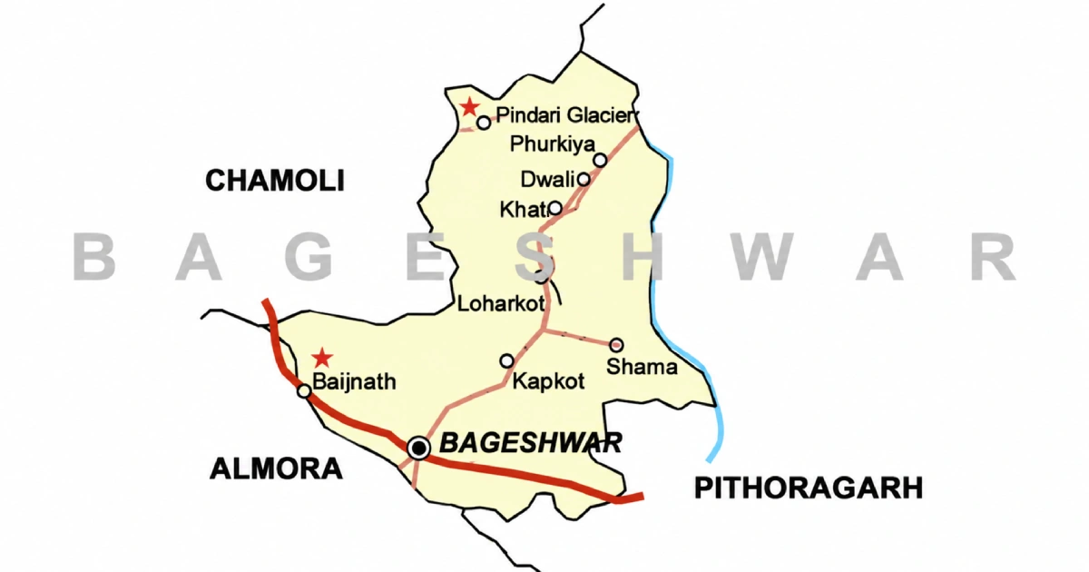
On the Bageshwar district map, the district sits in the eastern Kumaon Himalaya of Uttarakhand, with Bageshwar town in the south-central part of the district and the glacier region in the north. It is bordered by:
- West and northwest: Chamoli district.
- North-east and east: Pithoragarh district.
- South: Almora district.
Kausani and Garur lie in the western part of the district, and Gwaldam, just across the border, is in Chamoli district. Use an official map or navigation app for road distances and current route conditions.
Accommodation and Where to Stay
Choose your overnight base around the main purpose of the trip:
- Bageshwar town: Convenient for the temples and for trek departures towards Kapkot.
- Kausani: The main tourist base, with hotels, guesthouses and homestays and views of the peaks.
- Baijnath and Garur: Budget stays, including a KMVN tourist reception centre at Baijnath.
- Kapkot, Loharkhet and Khati: Basic stays, camps and village homestays for the Pindari trek.
- Kanda and Vijaypur: Quiet hill stays with fewer services.
Options include hotels, guesthouses, homestays, government rest houses, and camps. Confirm heating, meals, hot water, parking, road access, and cancellation terms directly. Remote stays may offer fewer services than town hotels, and winter snow can affect access.
Suggested Itineraries
These are planning examples, not fixed packages or confirmed operating routes.
- Two days around Bageshwar: Visit the Bagnath Temple and Saryu-Gomti Sangam, Chandika Temple and the town, then continue to Baijnath.
- Three days at Kausani: Anasakti Ashram, the Pant Museum, the tea estate and Rudradhari Falls, with a day trip to Baijnath.
- A Bageshwar, Baijnath and Kausani circuit: Combine the three over three to four days, allowing for hill-road travel.
- Pindari Glacier trek: About six days on foot from the road head, plus travel to and from Bageshwar; add extra days for Kafni Glacier or weather.
- Kanda and Vijaypur: A short side trip for Himalayan views and quiet walks.
Adjust the plan to your starting city, fitness, transport, and season. Covering the entire district in a weekend is unrealistic.
Sports in Bageshwar
Bageshwar’s sporting identity is rooted in its mountains. Glacier treks, high-altitude walking and village-level sport are better known than any single competitive game. Young players from the district also compete in team sports such as kabaddi, and the district administration has honoured girl players who took part in national-level events.
Students and parents should enquire through their school, college or the District Sports Office about coaching and the pathway to recognised competitions. A disciplined routine, qualified guidance and a record of performances help athletes prepare for trials.
Coaching availability differs by sport and location. Confirm the current programme before travelling to a facility or enrolling a child.
Sports Facilities, Training and Athlete Opportunities
The Sports Department of the Government of Uttarakhand runs district-level programmes through the District Sports Office, Bageshwar. Use the district website to find the current contact details, and ask about coaching, trials, age groups, and documents required.
For mountaineering and adventure skills, the Nehru Institute of Mountaineering in Uttarkashi offers formal courses; check its official website for schedules, medical requirements, and eligibility. Treks in the district should be done with registered operators and the permits described above.
For scholarships, hostel admissions or equipment assistance, refer to a current official notice from the Department of Sports. Keep age, residence and achievement records ready; availability and eligibility differ between programmes.
Sportspersons from Bageshwar
In April 2025, two women kabaddi players from the district were selected for the 18th National Senior Women Circle Kabaddi Championship in Haryana: Priyanka Thayat of Purda village in Garur block and Bhawna Danu of Sorag village in Kapkot block. The district also supplied the team’s coach and manager.
This guide lists only sportspersons whose connection to the district is clearly documented, and the section will be updated as verified profiles are added. Young players can start with school and club programmes and learn about the state’s selection pathways.
Education, Training and Research Institutions
The district website lists the following colleges in Bageshwar district:
- Government PG College, Bageshwar: The main postgraduate college in the district headquarters.
- Government Degree College, Garur: A degree college serving the Katyur valley.
- Government Degree College, Kanda: A degree college in Kanda.
- Government Degree College, Dugnakuri: A degree college in the Dugnakuri area.
- Late Chandra Singh Sahi Government Degree College, Kapkote: A degree college in Kapkot tehsil.
Lakshmi Ashram at Kausani, a Gandhian institution, is known for women’s education. Students should check current courses, admissions, fees, and eligibility directly with each institution.
Administrative Structure
The District Magistrate heads the district administration; for the current officer and contact details, use the district website. Revenue administration operates through tehsils, while development blocks support local planning and programme implementation.
The district has three development blocks: Bageshwar, Garur, and Kapkot. Tehsils include Bageshwar, Kapkot (the largest), Garur, and Kanda; recent lists also include Dugnakuri, so check current district notices, as administrative units can change.
Urban bodies include the Nagar Palika Parishad at Bageshwar and the Nagar Panchayats at Garur and Kapkot. For a certificate or local service, first identify the relevant village, block, tehsil, or municipal office. The district has two assembly constituencies, Bageshwar and Kapkot, and falls under the Almora Lok Sabha constituency.
Important Towns and Settlements
- Bageshwar: District headquarters and the main temple town.
- Kapkot: The headquarters of the largest tehsil, about 25 km from Bageshwar and the gateway to the Pindari trek.
- Garur: A town and Nagar Panchayat in the Katyur valley, about 16 km from Kausani.
- Baijnath: An ancient temple town on the Gomti, once the Katyuri capital.
- Kausani: The hill station of the district, in Garur tehsil.
- Kanda and Vijaypur: Hill settlements with Himalayan views.
- Loharkhet, Song, Khati and Dwali: Trail villages and camp sites on the Pindari route.
These places lie along different travel corridors. Select accommodation and transport according to the destination you intend to explore.
Nature and Biodiversity
More than half of the district is forest. Lower slopes carry pine, oak and rhododendron forests, higher areas have alpine meadows, and the north is a landscape of glaciers and snow peaks, with Nanda Kot rising to over 6,800 metres. The Saryu, Gomti, Pindar, Kafni and Sunderdhunga rivers shape its valleys.
The Pindari trail passes through rhododendron forest and alpine meadows, and parts of it lie in reserve forest areas. The Kausani Tea Estate is also a pleasant spot for birdwatching. Wildlife sightings are never guaranteed.
Follow forest rules, take your waste back, and avoid disturbing meadows and glacier valleys. Protected-area and trek routes may need permits, so check the relevant forest authority’s arrangements before you plan an excursion.
Culture, Traditions, Festivals and Fairs
Bageshwar’s culture is rooted in Kumaoni traditions, and Kumaoni is the first language of most residents. The Katyuri heritage of Baijnath, village shrines and temple fairs remain part of community life.
The Uttarayani fair is held at the Bagnath Temple in the second week of January, on Makar Sankranti, and continues for about a week. Devotees bathe at the Saryu–Gomti confluence, and the fair has long been a trade and cultural gathering. It was the centre of the 1921 Kuli Begar movement. Makar Sankranti is also celebrated across Kumaon as Ghughutia. Other fairs include the Shivaratri fair at the Bagnath Temple and a large fair at the Sriharu temple on Vijayadashami.
Dates and programmes differ from year to year. Village celebrations also vary across the district, so ask local hosts about the customs of the place you are visiting rather than assuming every community follows the same practice.
Local Food
Food in Bageshwar reflects the mountain cuisine of Kumaon and locally available crops. Depending on the household and season, meals may feature mandua, pulses, leafy vegetables, and simple home-style preparations.

Dishes to ask about include bhatt ki churkani and aloo ke gutke. These belong to the wider Kumaoni tradition and may not appear on every restaurant menu. Kausani is also known for its locally grown tea.
Homestays can be a good place to learn about household food traditions. Confirm meals in advance, especially if you have dietary requirements or will arrive late.
Livelihoods and the Local Economy
The district is lightly industrialised, and agriculture on terraced fields, livestock, small trade and government services support many households. The Kausani Tea Estate and handloom products add to local incomes.
Pilgrimage, hill-station tourism and trekking create seasonal work in accommodation, transport, guiding, portering and food services. These opportunities depend on road access, weather and visitor numbers.
Visitors can support the local economy through locally operated stays, produce and skilled services. Young people considering work in trekking or tourism should enquire about training, qualifications and the operating requirements for the activity they want to pursue.
Healthcare, District Administration and Emergency Contacts
Emergency assistance: 112 | Ambulance: 108 | Disaster helpline: 1077.
Bageshwar has a district hospital, and community health centres serve Baijnath, Kapkot, Kanda and Kausani. Facilities in remote hill areas and on the Pindari trail are limited and farther apart, so plan travel and medical needs, especially for treks and winter travel. For district office and department numbers, use the directory on the District Administration website.
Contacts and facilities were reviewed on 13 October 2026; telephone availability has not been tested. Use 112 for immediate emergencies, and take extra care on steep hill roads and near rivers.
Frequently Asked Questions
Which state is Bageshwar district in?
Bageshwar district is in Uttarakhand, in the Kumaon division.
Where is Bageshwar district located?
It lies in the eastern Kumaon Himalaya, bordered by Chamoli to the west and northwest, Pithoragarh to the northeast and east, and Almora to the south.
What is the headquarters of Bageshwar district?
The district headquarters is Bageshwar town, at the confluence of the Saryu and Gomti rivers.
What is the tehsil list of Bageshwar district?
Tehsils include Bageshwar, Kapkot, Garur, and Kanda. Recent lists also include Dugnakuri, so check the district website for the current list.
What is the blocks list of Bageshwar district?
There are three blocks: Bageshwar, Garur, and Kapkot.
What is the population of Bageshwar district?
The Census 2011 district total is 2,59,898. It should not be presented as a current estimate.
What is the history of Bageshwar district?
The area, once called Danpur, was ruled by the Katyuri kings from the 7th century and later by the Chand kings. It came under Gorkha rule from 1791 and then British rule, and became a separate district on 15 September 1997 after being carved out of Almora.
What is Bageshwar district famous for?
It is known for the Bagnath Temple, the Uttarayani fair, Baijnath, Kausani, and the Pindari Glacier trek.
What is the Bageshwar PIN code?
The PIN code of Bageshwar town is 263642, so “Bageshwar, Uttarakhand 263642” is the usual address. Other places have their own codes; for example, Garur 263641, Kapkot 263632, and Kanda 263631.
Who is the DM of Bageshwar?
The District Magistrate heads the district administration. Officers change with postings, so check the district website for the current DM and contact details.
What is the weather in Bageshwar?
Bageshwar town is a valley town with warm summers and cool winters, while Kausani and the glacier region are colder. Check the live forecast for your dates.
What is the temperature in Bageshwar?
The average annual temperature in Bageshwar town is about 20°C, with June the warmest month (average about 27°C) and January the coolest (average about 11°C). Kausani is cooler.
Does Bageshwar get snowfall?
Snow is more likely at higher places than in Bageshwar town. Kausani can see light snowfall in winter, most likely in January and February, and heavy snow covers the Pindari and Kafni trails. Snowfall is never guaranteed.
What is the best time to visit Bageshwar?
Uttarakhand Tourism lists September to June as the best time. April to June and September to mid-November are the main trekking windows, and the monsoon can disrupt roads.
Is Kausani in Bageshwar district?
Yes. Kausani is in Garur tehsil of Bageshwar district, about 40 km from Bageshwar town.
Is Baijnath in Bageshwar district?
Yes. Baijnath, with its ancient temples on the Gomti, is in Bageshwar district, about 26 km from Bageshwar.
Is Kapkot in Bageshwar district?
Yes. Kapkot is the headquarters of Kapkot tehsil, the largest tehsil in Bageshwar district, and the gateway to the Pindari trek.
Is Garur in Bageshwar district?
Yes. Garur is a town, Nagar Panchayat, and tehsil in Bageshwar district, in the Katyur valley.
Which district is Pindari Glacier in?
Pindari Glacier is in Bageshwar district, in the Kumaon Himalaya.
Which district is Kafni Glacier in?
Kafni Glacier is in Bageshwar district, in the Pindar valley, next to the Pindari trail.
What are the places to visit in Bageshwar?
Popular places include the Bagnath Temple, the Saryu-Gomti Sangam, Baijnath, Kausani, Anasakti Ashram, Rudradhari Falls, Kanda, Vijaypur, and the Pindari, Kafni, and Sunderdhunga glaciers.
How to reach Bageshwar?
The nearest railway station is Kathgodam (about 180 km) and the nearest airport is Pantnagar (about 206-210 km). The rest of the journey is by road, via Almora or Kausani.
What is Kausani famous for?
Kausani is known for its Himalayan panorama, the Anasakti Ashram where Gandhi stayed in 1929, the Sumitranandan Pant Museum, the tea estate, and Rudradhari Falls.
What is the Baijnath Temple known for?
Baijnath is an ancient group of temples on the Gomti dedicated to Shiva as Vaidyanath, in a town that was once the Katyuri capital, Kartikeyapura.
What is the Bagnath Temple in Bageshwar?
It is the main Shiva temple of Bageshwar, at the confluence of the Saryu and Gomti rivers, and the venue of the Uttarayani fair every January.
Where is the Saryu-Gomti Sangam?
The Saryu-Gomti Sangam is in Bageshwar town, next to the Bagnath Temple.
How long is the Pindari Glacier trek?
The trek usually takes about six days from the road head, and longer if you add Kafni Glacier. The Zero Point is at about 3,700 metres.
What sports are popular in Bageshwar?
Trekking and mountaineering are the district’s best-known outdoor pursuits, and players from the district also take part in team sports such as kabaddi.
Which sportspersons are from Bageshwar?
Kabaddi players Priyanka Thayat (Garur) and Bhawna Danu (Kapkot) were selected for the 2025 National Senior Women Circle Kabaddi Championship. More verified profiles will be added.
Where should I check current openings and permissions?
Use district administration notices, official tourism information, and the Forest Department for trek permits.
Useful Official Links
District Administration | How to Reach Bageshwar | Uttarakhand Tourism | Uttarayani Fair | Department of Sports | Disaster Management
Population: Census 2011. Area, forest cover, and administrative details: Bageshwar district administration and district statistical summaries. History: district administration and published accounts. Trek details: Uttarakhand Tourism and trek operator publications; altitudes and distances vary by source. Information reviewed: 13 October 2026.