Pandit Nain Singh Rawat
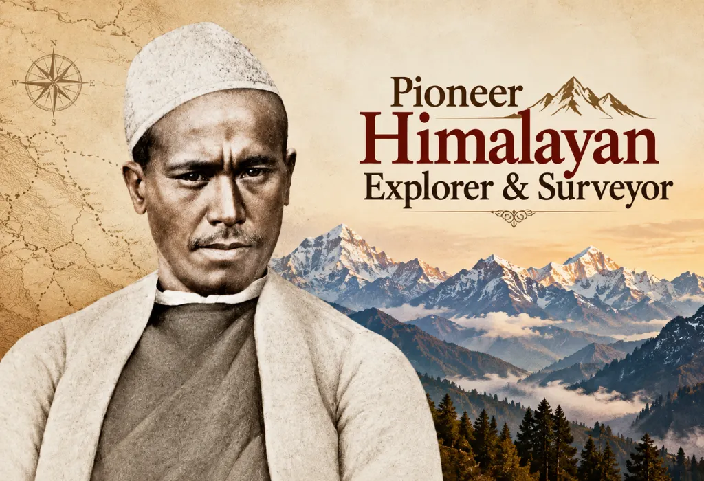
Pandit Nain Singh Rawat (1830–1882) was an Indian explorer from Uttarakhand. He secretly surveyed Tibet for the British, and he was the first person to fix the position and height of Lhasa.
You may not have read his name in school books. Yet the work of Pandit Nain Singh Rawat changed the map of Asia. On 21 October 2026, India marks his 196th birth anniversary. This guide explains his story step by step, from the basics to the finer details.
Quick Facts About Pandit Nain Singh Rawat
- Born: 21 October 1830, Johar Valley, Kumaon (now Uttarakhand)
- Died: 1882
- Community: Bhotia (Johari)
- Job: Schoolteacher, then surveyor and explorer
- Code names: “The Pundit,” “Pundit A” and “The First Pundit”
- Famous for: Fixing Lhasa’s position, mapping the Tsangpo (Brahmaputra) river, reaching the Thok Jalung gold fields
- Total distance walked: About 1,580 miles (roughly 2,500 km)
Who Was Pandit Nain Singh Rawat?
He was born in the Johar Valley of Kumaon. His Bhotia community had Tibetan roots, spoke Tibetan and traded with Tibetans. So he grew up at ease with the language and customs.
He began as a village schoolteacher. That job is the real origin of the word “pundit,” which the British later used for the whole group of trained native surveyors. In Survey records, Nain Singh himself went by the code names “The Pundit,” “Pundit A” and “The First Pundit.”
Early on, he travelled to Ladakh with the German Schlagintweit brothers. They planned to send him to Lhasa too, but that trip never happened. You can read the basic timeline on Wikipedia’s Nain Singh page.
Why Did the British Pick Pandit Nain Singh Rawat?
Tibet was closed to Europeans in the 1800s. A foreign surveyor would not get far. Local Himalayan people, however, could pass as traders or pilgrims.
Captain Montgomerie’s plan was approved in 1862. His first recruits were Abdul Hamid, then Nain Singh and his cousin Mani Singh. In 1863, the two cousins went to the Survey office in Dehradun for training.
How Did Pandit Nain Singh Rawat Survey Tibet in Secret?
He walked like a pilgrim, but he worked like a scientist. Every tool looked like an ordinary object.
- Counted steps: He kept an even stride. About 2,000 steps made one mile.
- 100-bead rosary: A normal rosary has 108 beads. His had 100, and he moved one bead every 100 steps. Every tenth bead was slightly larger. One full round meant 10,000 steps, or about 5 miles.
- Prayer wheel: He stored his notes inside it. One source says a compass sat in its lid.
- Walking stick: Its top part hid a thermometer.
- Mercury: He hid it in the bottom of a bowl.
- Boiling water test: Water boils at a lower temperature at greater height. He used this to estimate altitude.
- Star readings: At night, he measured star angles to find latitude.
Major Journeys of Pandit Nain Singh Rawat
1865–66: Kathmandu to Lhasa
He left for Nepal with Mani Singh in 1865. The cousins then went separate ways. Mani crossed western Tibet, while Nain Singh walked to Lhasa.
He reached Lhasa on 10 January 1866. He covered nearly 2,000 km, then went on to Lake Manasarovar and back to India.
His boiling-water test put Lhasa at 3,420 metres. The real height is about 3,540 metres. That is very close for a thermometer hidden in a stick.
1867: The Thok Jalung Gold Fields
On 26 August 1867, he became the first non-Tibetan to visit the Thok Jalung mines. They lie at about 4,980 metres (16,330 feet). He later called it the coldest place he had ever visited. He also saw a gold nugget weighing nearly 2 pounds.
1873–75: The Final Expedition
His last trip ran from 1873 to 1875. He returned to Lhasa by a more northern route than the first time. This trip is also key to the Brahmaputra story below.
Pandit Nain Singh Rawat and the Brahmaputra
Early maps showed the Tsangpo river in Tibet and the Brahmaputra in Assam. Nobody had proved they were one river. Pandit Nain Singh Rawat helped fill that gap in two steps:
- On the first trip: He mapped a large section of the Tsangpo, the major Tibetan river.
- On the last trip: On 14 February 1873, Montgomerie ordered him to survey the unknown Tsangpo valley downstream from Lhasa.
At Chhetang, a place with an old monastery, he left the river. There, he asked local Tibetans about its course. They told him that the Tsangpo becomes the Brahmaputra in Assam. In upper Assam, that same river is called the Dihang at Sadia. His inquiries gave strong local evidence for this link.
Want to read more? Historian Shekhar Pathak wrote a detailed essay for the Himalayan Club’s journal: Pundit Nain Singh Rawat: Explorer Extraordinaire.
Awards and Honors of Pandit Nain Singh Rawat
- Gold chronometer (1868): The Royal Geographical Society (RGS) gave him an inscribed gold watch.
- Patron’s Medal (1877): RGS gave it in May 1877. Henry Yule received it on his behalf. It praised him for fixing Lhasa’s position and for his Upper Brahmaputra surveys.
- Paris honor (1877): The Society of Geographers of Paris gave him an inscribed watch.
- Companion of the Indian Empire (CIE): The Government of India gave him this title, along with a land grant near Moradabad. Sources date it to 1877 or 1878.
- Postage stamp (2004): India issued it on 27 June 2004.
- Nain Singh Range: A mountain range south of Pangong Lake carries his name.
- Google Doodle (2017): Google marked his 187th birthday on 21 October 2017. See the official Doodle page.
Books By and About Pandit Nain Singh Rawat
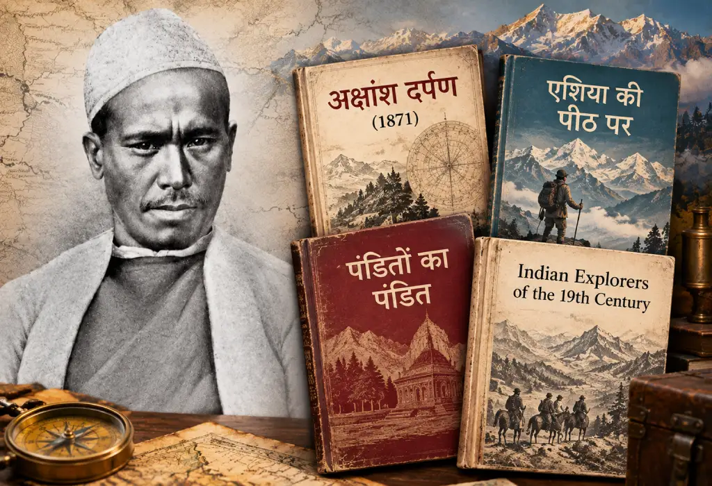
- His surveying textbook (1871): He wrote a primer for surveyors, which the Survey of India published in 1871. Its Hindi title is usually written as Akshansh Darpan.
- Asia Ki Peeth Par: PAHAR published this three-volume Hindi set. It compiles his diaries and his journey reports.
- Indian Explorers of the 19th Century (Indra Singh Rawat): This 1970s book covers Nain Singh and Kishen Singh. The author was Kishen Singh’s nephew.
- Panditon Ka Pandit (Shekhar Pathak): The National Book Trust published this Hindi book.
Lesser-Known Facts About Pandit Nain Singh Rawat
Some details from his story are easy to miss. Here are the best ones.
- His birth year matches a famous society. He was born in the same year the Royal Geographical Society was founded. That society later gave him its top honor.
- He counted millions of steps. One account says he walked 1,580 miles, or about 3,160,000 counted paces.
- His Lhasa “observatory” was an inn roof. He lived like a pilgrim in an inn for several weeks. At night, he used the roof to take star readings.
- His data became a famous map. Montgomerie turned his debrief into an RGS paper and a map drawn at 16 miles to the inch.
- Thok Jalung was a record-setting place. It was the highest-altitude goldfield in the world. Back then, people believed it was the highest place lived in all year round.
- Miners there had a strict rule. If someone dug up a nugget by mistake, they buried it again right away.
- No European reached Thok Jalung for decades. The first European visit came only in 1906.
The Pundit Family: Mani Singh, Kishen Singh and Kalian Singh
Pandit Nain Singh Rawat did not work alone. Several men from his family joined the same secret mission. All of them came from the Bhotia traders of Milam village in the Johar Valley.
- Mani Singh Rawat (code name “G.M.”): He was Nain Singh’s older cousin. He was born in Milam to a trader named Deb Singh Rawat. Along with Nain Singh, he became one of the first two pundits of the Survey of India. Both went to Dehradun on the advice of Major Smyth. On the first trip, he failed to enter Tibet and returned from Nepal. He later crossed western Tibet.
- Kishen Singh Rawat (code name “A.K.”): He was Mani Singh’s younger brother. His achievements rival those of his famous cousin. The code name “A.K.” came from the first and last letters of his name, Krishna. From 1878 to 1882, he travelled from Darjeeling to Lhasa and Mongolia. He stayed in Lhasa for a year, disguised as a merchant. He also surveyed the Mekong, Salween and Irrawaddy rivers. He retired in 1885 and received the title of Rai Bahadur. RGS also gave him the Murchison Grant and a gold watch. He died in February 1921, as the last of the old Indian explorers.
- Kalian Singh: He was Nain Singh’s brother and Kishen Singh’s cousin. He travelled with Nain and Mani on one trip, and the three posed as traders from Bushahr.
Was Kishen Singh a Cousin or a Nephew?
Many people called Nain Singh the uncle of Kishen Singh. Surveyor Kenneth Mason studied all the records and concluded they were first cousins. The “nephew” claim appears in Survey papers only after 1900. So the safest word is “cousin.”
Together, these cousins from Milam became the first big names of the pundit programme. Their story shows how one small village’s skills helped map a whole region.
Life After Exploring: What Happened to Pandit Nain Singh Rawat?
His last trip took a toll on him. After it, poor health stopped him from making any more expeditions. He spent the rest of his career training new recruits.
Later, the government rewarded him. When he retired, it gave him a village grant and 1,000 rupees in revenue. The grant was land near Moradabad in Uttar Pradesh.
Recognition faded fast, though. Historian Shekhar Pathak writes that after his retirement, nobody at the Survey of India cared about him. Indian researchers worked to bring him back. In the late 1970s, Pathak’s team began copying his diaries onto paper. Decades later, they came out as the Asia Ki Peeth Par set.
Why Pandit Nain Singh Rawat Still Matters
The story of Pandit Nain Singh Rawat shows how far skill and patience can go. He fixed Lhasa’s position, mapped the trade road from Nepal and traced the Tsangpo. His cousins carried his method forward.
Researchers also see his diaries as among the first travelogues in Khadi Boli Hindi. In Uttarakhand, he remains a local hero.
He is one of many brave Uttarakhandis who made history in the mountains. Read about more famous Uttarakhand sportspersons, including mountaineers like Bachendri Pal, India’s first woman to climb Mount Everest, and Pooja Nautiyal, the army officer who conquered Everest.
His life leaves three simple lessons:
- Local knowledge can beat costly tools.
- Discipline makes huge goals possible.
- Great work can stay unnoticed for decades.
Today, his story inspires students, trekkers and history lovers in Uttarakhand. Many locals see Pandit Nain Singh Rawat as a symbol of Himalayan pride. Schools, institutions and local programmes in the region carry his name.