
Destructive Flash Floods in Uttarakhand :
Destructive flash floods in Uttarakhand have shaped the state’s history for more than 50 years. A calm stream can turn into a wall of mud, rock, and water within minutes. Villages, pilgrim routes, and power projects often sit right in its path.
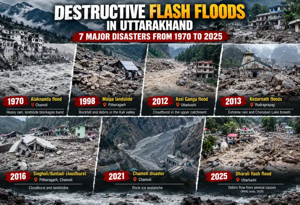
This guide covers seven major events: 1970, 1998, 2012, 2013, 2016, 2021, and 2025. For each one, you get the place, date, river, cause, numbers, rescue work, a graph, and key facts. Where sources disagree, the article says so.
Quick Answer
The seven major disasters are the 1970 Alaknanda flood, the 1998 Malpa landslide, the 2012 Assi Ganga flood, the 2013 Kedarnath floods, the 2016 Pithoragarh cloudburst, the 2021 Chamoli disaster, and the 2025 Dharali flash flood. The 2013 Kedarnath floods caused by far the most deaths.
What Are Destructive Flash Floods in Uttarakhand?
A flash flood is a sudden, fast rise of water. It often comes within hours of heavy rain, a blocked river breaking free, or an ice and rock collapse.
In Uttarakhand, steep slopes make the water fast and heavy with boulders and mud. That is why a small stream can wipe out a village.
Uttarakhand has 13 districts, and the events in this guide fall in Chamoli, Rudraprayag, Uttarkashi, and Pithoragarh.
Main Triggers of an Uttarakhand Flash Flood
- Cloudburst: very heavy rain, about 100 mm in one hour, over a small area.
- Landslide dam outburst: a slide blocks a river, and the dam breaks later.
- Glacial lake outburst flood (GLOF): a lake held by ice or loose rock bursts.
- Rock-ice avalanche: a hanging glacier or rock mass falls into a valley.
- Debris flow: a thick mix of mud, stones, and water rushes down a stream.
Destructive Flash Floods in Uttarakhand: Timeline at a Glance
| Year | Event | District | Main Problem |
|---|---|---|---|
| 1970 | Alaknanda flood | Chamoli | Heavy rain, landslide blockages burst |
| 1998 | Malpa landslide | Pithoragarh | Rockfall and debris in the Kali valley |
| 2012 | Assi Ganga flood | Uttarkashi | Cloudburst in the upper catchment |
| 2013 | Kedarnath floods | Rudraprayag | Extreme rain and Chorabari Lake breach |
| 2016 | Singhali/Bastadi cloudburst | Pithoragarh, Chamoli | Cloudburst and landslides |
| 2021 | Chamoli disaster | Chamoli | Rock-ice avalanche |
| 2025 | Dharali flash flood | Uttarkashi | Debris flow from several causes (WIHG study, 2026) |
Destructive Flash Floods in Uttarakhand, 1970: The Alaknanda Flood
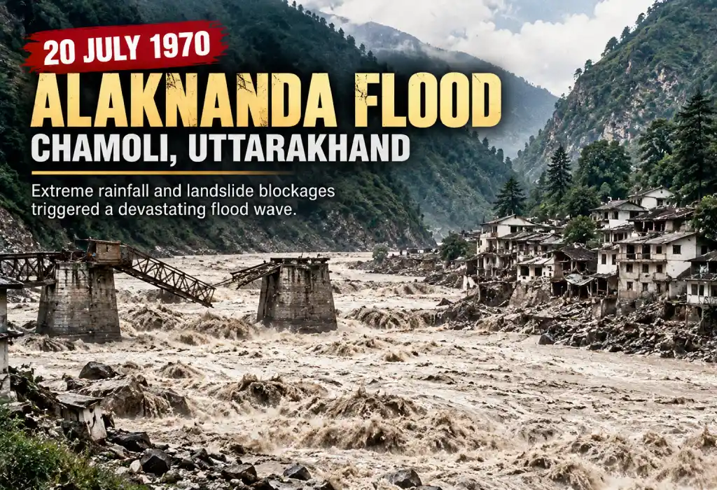
The 1970 Alaknanda flood struck the upper Alaknanda valley in Chamoli district, which was then part of Uttar Pradesh. The worst damage came at Belakuchi, a small town on the Rishikesh–Badrinath road, about 6 km from Pipalkoti. Heavy rain on 20 July 1970 set off landslides that blocked the river and its tributaries. When the blockages burst, a surge hit the pilgrim vehicles parked on the road.
What Happened in the 1970 Uttarakhand Flash Flood
- Date: 20 July 1970. The surge hit Belakuchi around 7 PM.
- Place: Alaknanda valley between Joshimath and Chamoli, with the worst damage at Belakuchi.
- Rain: Joshimath recorded about 22 cm in 24 hours.
- Cause: Heavy rain caused landslides. These blocked the main Alaknanda and its tributaries, especially the Patalganga about a mile above Belakuchi. The blockages burst, and the river rose about 15 m above road level.
- Gohna Lake link: A landslide formed Gohna (Birahi Ganga) Lake in 1893. In 1970, silt and debris filled it, and water overflowed. Officials said it did not breach.
- Size of the flood: The recorded peak was about 2.25 lakh cusecs, below the earlier maximum of 4 lakh cusecs. The damage came from a sudden surge in a narrow, unstable valley.
Impact of the 1970 Destructive Flash Floods in Uttarakhand
- About 420 people were travelling in vehicles near Belakuchi.
- About 25 vehicles were washed away.
- About 29 pilgrims died. Local people at Belakuchi warned the rest in time.
- 23 more people died in Chamoli district in house collapses and landslides.
- Early claims in Parliament said about 200 were washed away. The preliminary official total was 52.
- Preliminary damage: Rs 24 lakh to houses and Rs 44 lakh to public utilities.
- Bridges between Pipalkoti and Joshimath were washed away, and the Rishikesh–Badrinath road was damaged.
- About 10 km of road near Belakuchi and about 500 acres of farmland were lost, according to Chandi Prasad Bhatt.
- Floodwater and silt also reached Haridwar and clogged the Ganga canal.
1970 Uttarakhand Flash Flood and the Chipko Movement
After the flood, villagers and activists saw that floods hit hardest where forests were cut. This idea fed the Chipko Movement.
- April 1973: first direct action near Mandal/Gopeshwar, Chamoli.
- 26 March 1974: women of Reni village, led by Gaura Devi, stopped tree felling.
- Chandi Prasad Bhatt (founder of the Dasholi Gram Swarajya Mandal) and Sunderlal Bahuguna were key leaders.
- Bhatt links the movement to the later Forest Conservation Act of 1980.
Graph: Destructive Flash Floods in Uttarakhand, 1970 Deaths
- Early claim in Parliament
200
- Preliminary official total
52
- Pilgrims died near Belakuchi
29
- Other deaths in Chamoli
23
Takeaway: The early claim of about 200 was far higher than the preliminary official figure of 52. Early numbers in Himalayan disasters often change.
Key Facts: Destructive Flash Floods in Uttarakhand 1970
- Date: 20 July 1970
- Place: Belakuchi, Alaknanda valley, Chamoli
- Trigger: heavy rain plus landslide blockages (Patalganga and the main river)
- Toll: about 52 (preliminary official)
- Legacy: helped inspire the Chipko Movement
Source: Lok Sabha record of the minister’s statement on the Alaknanda floods, 28 July 1970
Destructive Flash Floods in Uttarakhand, 1998: The Malpa Landslide
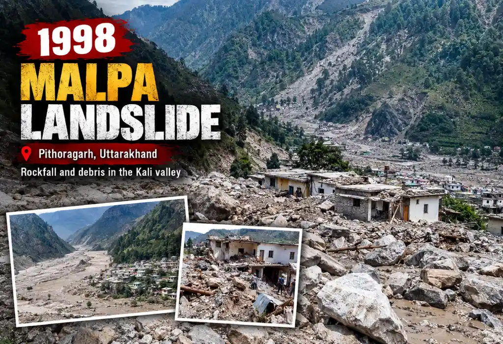
The 1998 Malpa landslide hit Malpa village in the Kali river valley of Pithoragarh district, in eastern Kumaon, about 55 km from Dharchula. Malpa was a halt on the Kailash Mansarovar Yatra route towards the Vyas valley and Tibet. The disaster happened in the night of 17–18 August 1998, when the area was still part of Uttar Pradesh. A huge slide of rock and debris buried the camp and blocked the Kali.
Note: Malpa was mainly a landslide and debris disaster that also blocked and flooded the Kali river.
What Happened in the 1998 Malpa Disaster
- Date: night of 17–18 August 1998, around 3 AM.
- Place: Malpa village, Kali valley, Pithoragarh.
- Build-up: rockfall began around 16 August and continued for days.
- Cause: steep rock slopes, heavy monsoon rain, and weak, tectonically active rock. A published account puts the debris at about one million cubic metres.
- Background: Malpa had about 50 families. The Kumaon Mandal Vikas Nigam used it as a pilgrim camp from 1981.
Impact of the 1998 Destructive Flash Floods in Uttarakhand (Malpa)
- Reports of total deaths range from 210+ to 221 (commonly cited), 255 (a later press report), and up to 380 (highest estimate).
- About 60 pilgrims from the 12th Kailash Mansarovar batch died. The dead included Odissi dancer Protima Bedi.
- The government called off the rest of that year’s yatra. Other batches were airlifted or turned back.
- The pilgrim camp and about 50 mules, the main income for local families, were lost.
- More landslides on 19 August killed 37 more people elsewhere in the hills. One magazine counted over 300 deaths across Ukhimath, Rudraprayag, Mussoorie, and Pithoragarh in the same spell.
Rescue After the 1998 Uttarakhand Landslide-Flood
Bad weather stopped Air Force helicopters on several days. The ITBP and other teams worked from Dharchula. Relatives of the missing were flown to Pithoragarh to identify the dead.
Graph: Malpa Landslide Death Toll Estimates
- Pilgrims killed
60
- Early reports (210+)
210
- Commonly cited
221
- Later press report
255
- Highest estimate
380
Takeaway: No single final toll exists. Most sources fall between 210 and 255, so “over 200” is the safest way to write it.
Key Facts: Destructive Flash Floods in Uttarakhand, 1998 Malpa Landslide
- Date: 18 August 1998
- Place: Malpa, Kali valley, Pithoragarh
- Trigger: rockfall and debris flow with heavy rain
- Toll: over 200, including about 60 pilgrims
- Impact: Kailash Mansarovar yatra stopped for the year
Source: The Tribune, 20 August 1998: landslide toll and Mansarovar yatra called off
Destructive Flash Floods in Uttarakhand, 2012: The Assi Ganga Cloudburst
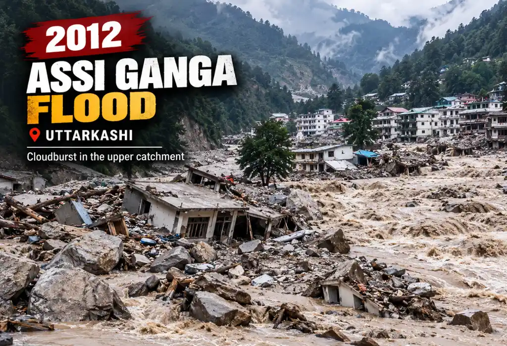
The 2012 flood struck the Assi Ganga valley in Bhatwari tehsil of Uttarkashi district, in the Garhwal Himalaya. The Assi Ganga is a tributary of the Bhagirathi and runs along the Gangotri pilgrim route. A cloudburst in the upper catchment on the night of 3 August 2012 sent a flash flood through villages and a hydropower project site.
What Happened in the 2012 Uttarkashi Flash Flood
- Date: night of 3 August 2012. The flood came in the early hours of 4 August.
- Place: Assi Ganga valley, Bhatwari tehsil, Uttarkashi.
- Cause: A state disaster centre study found abnormally high rain in the upper catchment, even though the 2012 monsoon was weak overall. Landslides and breached blockages made the flood worse.
- Road damage: bridges at Gagori and Sunder Gad on the Gangotri route were washed away.
Impact of the 2012 Destructive Flash Floods in Uttarakhand
- On 5 August, the district magistrate reported 31 deaths and 6 missing in Uttarkashi. Statewide, about 34 people died, including 3 in Chamoli.
- 23 workers of the Assi Ganga hydel project (UJVN Ltd) were declared dead. They make up most of the deaths.
- About 250 houses collapsed in early reports. Gangori, Joshiyara, and Dunda lost homes.
- About 250 families moved to safer ground.
- Char Dham pilgrims were stranded.
Rescue After the 2012 Uttarakhand Flash Flood
The Army (including the 5 Garhwal Rifles), ITBP, and police led the rescue. The Air Force evacuated people from the Harsil helipad.
Graph: Destructive Flash Floods in Uttarakhand, 2012 Deaths
- Dead, Uttarkashi
31
- Missing, Uttarkashi
6
- Hydro workers (within dead)
23
- Dead, Chamoli
3
- Dead, statewide
34
Takeaway: About two out of three deaths were project workers. Construction camps near rivers carry very high risk.
Key Facts: Destructive Flash Floods in Uttarakhand 2012
- Date: 3–4 August 2012
- Place: Assi Ganga valley, Uttarkashi
- Trigger: cloudburst in the upper catchment
- Toll: about 34 dead statewide
- Most affected group: hydropower project workers
Source: Indian Express (5 Aug 2012): 23 hydel project workers among 34 dead
Destructive Flash Floods in Uttarakhand, 2013: The Kedarnath Floods
The 2013 floods centred on Kedarnath, in the Mandakini valley of Rudraprayag district in the Garhwal Himalaya. Kedarnath is one of the Char Dham shrines, so thousands of pilgrims were in the valley in mid-June. Extreme rain on 15–17 June 2013 and the breach of a lake above the town sent a flood through Kedarnath and the villages below. The damage spread to all 13 districts of the state.
What Happened in the 2013 Uttarakhand Flash Flood
- Dates: 15–17 June 2013.
- Early monsoon: it arrived around 13 June, earlier than usual. A western disturbance added to the rain.
- Rain: NIDM reports more than 340 mm on 17 June, about 375% above the daily normal of 65.9 mm. State records show about 325 mm at stations near Chorabari on 15–16 June.
- 16 June, evening: Rambara, a halt on the Kedarnath trek, was washed away.
- 17 June, about 6:45 AM: Chorabari Lake (Gandhi Sarovar) burst. The flood hit Kedarnath town.
- Reach: all 13 districts felt the impact, and Rudraprayag took the worst hit.
Why the 2013 Uttarakhand Floods Hit So Hard
- Record rain fell on snow, which sped up melting.
- The loose moraine wall of Chorabari Lake gave way.
- Buildings and shops stood on the river’s path.
- Lakhs of pilgrims were in the valley at peak season.
- Warnings did not reach people in time.
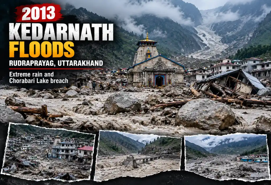
Impact of the 2013 Destructive Flash Floods in Uttarakhand: What the World Bank and ADB Found
- 580 dead and over 4,000 missing.
- Over 900,000 people affected.
- About 9,000 km of roads and 3,320 houses damaged.
- More than 100,000 pilgrims stranded.
- Damage and needs estimate close to US$700 million, with roads and bridges at about US$450 million.
- Estimated tourism loss of about US$1 billion for the year.
- Later state figures: 5,700+ presumed dead (16 July 2013), and a toll of 6,054.
Rescue and Recovery After the 2013 Uttarakhand Floods
- The Army’s operation was Surya Hope. The Air Force’s was Operation Rahat.
- Reported rescues: IAF about 23,775, Army about 38,750, ITBP about 33,000, NDRF about 9,000.
- More than 110,000 people were evacuated in under two weeks.
- The World Bank approved a US$250 million Uttarakhand Disaster Recovery Project. It planned about 2,500 resilient houses and 3,600 km of roads.
Graph: How the Toll Changed in the 2013 Destructive Flash Floods in Uttarakhand
- Confirmed dead (assessment)
580
- Missing (assessment)
4,000+
- Presumed dead (16 Jul 2013)
5,700
- Later official toll
6,054
Takeaway: Only 580 deaths were confirmed at first. Thousands more were later presumed dead. That gap explains why you see different Kedarnath numbers online.
Key Facts: Destructive Flash Floods in Uttarakhand 2013
- Date: 16–17 June 2013
- Place: Kedarnath, Mandakini valley, Rudraprayag
- Trigger: extreme rain plus Chorabari Lake breach
- Toll: about 6,054 presumed dead; 580 confirmed in the joint assessment
- Operations: Surya Hope (Army), Rahat (IAF)
Source: GFDRR and World Bank: Joint Rapid Damage and Needs Assessment, Uttarakhand 2013
Destructive Flash Floods in Uttarakhand, 2016: The Singhali and Bastadi Cloudburst
The 2016 cloudburst hit the Singhali area in the Didihat sub-division of Pithoragarh district, in Kumaon. Bastadi and several other villages nearby were buried by landslides in the early hours of 1 July 2016. Flash floods also hit the Ghat area of Chamoli district in Garhwal on the same morning. Roads and phone lines failed within hours.
What Happened in the 2016 Uttarakhand Flash Flood
- Date: 1 July 2016, early morning.
- Place: Singhali area (Didihat sub-division) and nearby villages in Pithoragarh, plus the Ghat area of Chamoli.
- Rain: more than 100 mm in two hours over about 50 sq km, as officials reported.
- Villages hit in Pithoragarh: Singhali, Patharkot, Ogla, Thal, Bastadi, Naulra, Rigolia, Nachni, Charma.
- Villages hit in Chamoli: Siron, Jakhni, Waduk, Gauli, Sirji.
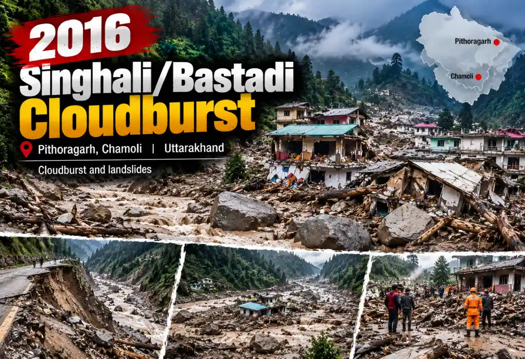
Impact of the 2016 Destructive Flash Floods in Uttarakhand
Early news said 30 dead and 25 missing. Official counts settled lower. These figures are as of 4–5 July 2016.
- Pithoragarh: 17 deaths (Bastadi 12, Naulra 3, Charma 1, Patharkot 1).
- Chamoli: 3 deaths.
- Total: about 20 dead and 12 missing (8 in Bastadi).
- About 240 people stayed in relief camps at Didihat, Munsyari, Singhali, and Patharkot.
- Three bridges near Suva (Dharchula) washed away, and the Thal–Munsyari road was cut.
- Compensation announced: Rs 2 lakh per family.
Rescue After the 2016 Uttarakhand Flash Flood
The Army, ITBP, SSB, NDRF, and police joined the search. Bastadi was the hardest place to dig because of the deep debris. On day three, rescuers pulled out a cow and goats alive.
Graph: 2016 Destructive Flash Floods in Uttarakhand, Deaths by Location
- Bastadi
12
- Naulra
3
- Charma
1
- Patharkot
1
- Chamoli district
3
Takeaway: One village, Bastadi, accounted for more than half of the deaths. A small cloudburst can hit one place very hard.
Key Facts: Destructive Flash Floods in Uttarakhand 2016
- Date: 1 July 2016
- Place: Singhali and Bastadi (Pithoragarh); Ghat (Chamoli)
- Trigger: cloudburst, over 100 mm in two hours
- Toll: about 20 dead, 12 missing (as of 4 July)
- Lesson: early counts change quickly
Source: Times of India (4 July 2016): Uttarakhand cloudburst death toll rises to 20, 12 still missing
Destructive Flash Floods in Uttarakhand, 2021: The Chamoli Disaster
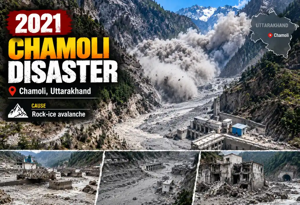
The 2021 disaster struck the Rishiganga and Dhauliganga valleys in Chamoli district, near Raini village and Tapovan, north of Joshimath. A mass of ice and rock fell from the Raunthi catchment on the morning of 7 February 2021. It turned into a debris flood that destroyed one hydropower project and badly damaged another. The surge ran down the Dhauliganga to Vishnuprayag, where it meets the Alaknanda.
What Happened in the 2021 Chamoli Flash Flood
- Date: 7 February 2021, morning.
- Cause: Scientists from the Wadia Institute of Himalayan Geology (WIHG) found that a hanging glacier with rock mass broke off below Raunthi Peak from about 5,600 m. It travelled about 3 km and reached the Raunthi stream at about 3,600 m.
- Path: Raunthi stream, then Rishiganga, then Dhauliganga (the two meet near Raini), then Tapovan, then Vishnuprayag.
- Term check: early media said “glacier burst.” Researchers describe a rock-ice avalanche and debris flow.
- Earlier signs: the Raunthi catchment saw avalanches and debris flows in 2015–2017. They caused no major downstream disaster.
https://uksportsfoundation.in/wp-content/uploads/2026/10/2016.webp
Impact of the 2021 Destructive Flash Floods in Uttarakhand
- The 13.2 MW Rishiganga hydel project at Raini was completely washed away.
- The NTPC Tapovan-Vishnugad project suffered heavy damage. About 35 workers were feared trapped in a 1.7-km tunnel.
- By late April 2021: 81 bodies and 36 body parts recovered, and 123 people missing.
- Early in the search, 139 of the dead and missing were linked to Tapovan and 53 to Rishiganga.
- By 15 February, bodies had been found in Chamoli (46), Rudraprayag (7), Pauri (2), and Tehri (1).
- Infrastructure damage was estimated at about Rs 1,500 crore (a news estimate).
- NTPC announced Rs 20 lakh compensation for victims’ families.
- A temporary lake formed upstream. SDRF teams checked it to avoid a second flood.
Rescue After the 2021 Chamoli Flood
NDRF, SDRF, ITBP, the Army, and the Air Force ran a weeks-long operation. Thick slush in the tunnel slowed the work. One more body came out almost a year later.
Graph: 2021 Destructive Flash Floods in Uttarakhand, Bodies Recovered Over Time
- 7 Feb 2021
10
- 9 Feb
30
- 15 Feb
56
- 20 Feb
65
- 24 Feb
70
- Late April
81
Takeaway: Most bodies came out in the first three weeks. Recovery then slowed because the remaining people were deep in the tunnel.
Key Facts: Destructive Flash Floods in Uttarakhand 2021
- Date: 7 February 2021
- Place: Raini and Tapovan, Chamoli
- Trigger: rock-ice avalanche from the Raunthi catchment
- Projects hit: Rishiganga (13.2 MW) and NTPC Tapovan-Vishnugad
- Toll: 81 bodies, 123 missing (late April 2021)
Source: ETV Bharat: Chamoli disaster, WIHG findings on the Raunthi collapse
Destructive Flash Floods in Uttarakhand, 2025: The Dharali Flood
The 2025 flood hit Dharali, a village in Uttarkashi district on the Bhagirathi river, close to Harsil on the Gangotri pilgrim route. The Kheer Ganga (Kheer Gad) joins the Bhagirathi right at Dharali. On 5 August 2025, a powerful debris flow came down the Kheer Ganga and two nearby streams and buried a large part of the village market within about an hour.
What Happened in the 2025 Uttarakhand Flash Flood
- Date and time: 5 August 2025, around 1:30–1:45 PM.
- Place: Dharali village, Uttarkashi, on the Gangotri route near Harsil.
- Another flood hit near an Army camp at Harsil the same day.
- First reports: the state agency and many media said “cloudburst.”
What Caused the Dharali Flash Flood? The WIHG Study of 2026
A Wadia Institute (WIHG) team led by Manish Mehta published a study on 10 May 2026.
- It calls the event a debris flow, not the bursting of a large glacial lake.
- Satellite data showed no large proglacial or moraine-dammed lakes in the affected valleys.
- Rain at lower levels was light to moderate. But high-altitude stations recorded 108.4 mm (Tola Camp) and 88.6 mm (Glacier Base Camp).
- Three streams flooded: Kheer Ganga (Kheragad), Talgad, and Bhelagad.
- Water and debris built up in narrow valleys, then burst through and rushed downhill at high speed.
- The Bhagirathi was partly blocked for a time.
- Contributing factors: changing weather, rain concentrated at high altitude, glacier retreat, weakening permafrost, extra moraine debris, and construction in river channels.
- The village stood on an old alluvial fan (about 60,000 sq m) built by earlier floods. Dharali market sits at about 2,537 m.
- The study says Dharali has flooded before, and that debris built up again after 2013 while settlements stayed on the riverbank.
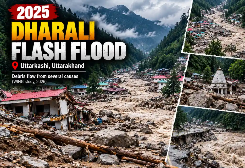
Impact of the 2025 Destructive Flash Floods in Uttarakhand
- Early reports on 5 August said 4 dead. Officials then confirmed 1.
- The state listed 68 missing from Dharali and Harsil.
- Coverage of the May 2026 report says 6 people died and 68 were missing, and that the government later declared the missing dead. That makes about 74.
- At the Harsil Army camp, 9 personnel went missing (one junior commissioned officer and eight jawans).
- About 20–25 hotels, restaurants, and homestays were washed away, news reports said.
- Debris reached 25 feet in some places and 40–60 feet in the market area, depending on the report.
- ISRO imagery showed the Bhagirathi shifted course. Later reports say the Kheer Ganga also took a new westward path.
- A local leader said in December 2025 that 147 bodies might still lie buried. That is a claim, not an official number.
Rescue After the 2025 Uttarakhand Flash Flood
The Army, NDRF, SDRF, ITBP, and local teams used sniffer dogs, drones, thermal cameras, and radar. Within a day, 190 people were rescued. Helicopters moved over 600 people in two days. The road at Bhatwari on the Uttarkashi–Harsil route was washed away.
Graph: 2025 Destructive Flash Floods in Uttarakhand, Dharali Numbers
- Initial dead report (5 Aug 2025)
4
- Confirmed dead (mid-Aug 2025)
1
- Dead (May 2026 coverage)
6
- Missing, later declared dead
68
- Local leader’s claim (Dec 2025)
147
Takeaway: The “confirmed dead” count stayed very low because deep debris stopped recovery. The missing count shows the real scale.
Key Facts: Destructive Flash Floods in Uttarakhand 2025
- Date: 5 August 2025
- Place: Dharali, Uttarkashi (Kheer Ganga, Talgad, Bhelagad streams)
- Cause (WIHG, May 2026): multi-factor debris flow, not a large lake burst
- Toll: about 74 (6 dead + 68 missing declared dead), per coverage of the 2026 report
- Lesson: do not build on debris-flow fans or riverbanks
Source: ETV Bharat (27 May 2026): Wadia Institute study on the causes of the Dharali disaster
Destructive Flash Floods in Uttarakhand: All Seven Disasters Compared
One combined graph adds the reported dead and missing for each event. It uses a log scale because Kedarnath is far larger than the rest.
Graph: Seven Destructive Flash Floods in Uttarakhand (Log Scale)
- 1970 Alaknanda
52
- 1998 Malpa
221
- 2012 Uttarkashi
40
- 2013 Kedarnath
6,054
- 2016 Pithoragarh
32
- 2021 Chamoli
204
- 2025 Dharali
74
Bar lengths follow a log scale, so a bar twice as long does not mean twice as many people.
How Each Uttarakhand Flash Flood Number Was Built
- 1970: 29 pilgrims + 23 other deaths (preliminary official).
- 1998: 221 (commonly cited).
- 2012: 31 dead + 6 missing in Uttarkashi + 3 dead in Chamoli.
- 2013: 6,054 (later official toll, presumed dead).
- 2016: 20 dead + 12 missing (as of 4–5 July).
- 2021: 81 bodies + 123 missing (late April 2021).
- 2025: 6 dead + 68 missing declared dead (May 2026 coverage).
This graph compares scale. Each event uses different counting rules.
Comparison Table: Cause, River, and Key Number
| Event | Core Problem | River/Valley | Key Number |
|---|---|---|---|
| 1970 | Landslide blockages burst after heavy rain | Alaknanda, Patalganga | About 25 vehicles lost; 52 preliminary deaths |
| 1998 | Rockfall and debris on a pilgrim camp | Kali | Over 200 deaths; about 60 pilgrims |
| 2012 | Cloudburst; workers’ camp in river path | Assi Ganga | About 34 dead |
| 2013 | Record rain and lake breach | Mandakini | 580 confirmed; 6,054 presumed dead |
| 2016 | Cloudburst on populated slopes | Pithoragarh streams | About 20 dead, 12 missing |
| 2021 | Rock-ice avalanche into hydro projects | Rishiganga, Dhauliganga | 81 bodies, 123 missing |
| 2025 | Multi-factor debris flow | Kheer Ganga and two streams | About 74 dead (6 + 68) |
Why Do Destructive Flash Floods in Uttarakhand Keep Happening?
Natural Causes of Uttarakhand Flash Floods
- Steep, young mountains: slopes break easily and water moves fast.
- Intense monsoon rain: heavy bursts hit small areas.
- Western disturbance meets monsoon: this mix drove the 2013 rain.
- Glacier retreat and weak permafrost: loose ice, rock, and moraine debris pile up above villages.
- Narrow valleys: blockages form, then break and release a surge.
Human Causes of Uttarakhand Flash Floods
- Buildings, hotels, and shops on riverbanks and debris-flow fans.
- Roads and hydropower projects cut into unstable slopes.
- Heavy pilgrim and tourist traffic in fragile valleys.
- Weak warning systems and poor communication after floods.
Patterns Across the Seven Uttarakhand Flash Floods
- Different triggers, same weakness. Rain, landslide dams, lakes, and ice collapses all strike narrow valleys.
- People and projects sit in the path. Pilgrims in 1970 and 1998, workers in 2012 and 2021, and villagers in 2016 and 2025.
- Early counts are unreliable. They changed in 1970, 2013, 2016, and 2025.
- Roads and bridges fail first. That slows rescue every time.
- Rain data alone does not explain everything. Dharali and Chamoli showed that ice, rock, and debris matter too.
Rivers and Regions Hit by Destructive Flash Floods in Uttarakhand
- Alaknanda and its tributaries (Chamoli): Patalganga, Birahi Ganga, Rishiganga, Dhauliganga, Nandakini.
- Mandakini (Rudraprayag): Kedarnath, Rambara, Gaurikund.
- Bhagirathi and its tributaries (Uttarkashi): Assi Ganga, Kheer Ganga, Harsil, Dharali.
- Kali valley (Pithoragarh): Malpa, Dharchula, Munsyari, Didihat.
The Panch Prayag on the Alaknanda
The Alaknanda has five confluences. Each one lies where another river joins it.
- Vishnuprayag: Alaknanda + Dhauliganga
- Nandprayag: Alaknanda + Nandakini
- Karnaprayag: Alaknanda + Pindar
- Rudraprayag: Alaknanda + Mandakini
- Devprayag: Alaknanda + Bhagirathi (forms the Ganga)
Laws, Agencies, and Warnings for Destructive Flash Floods in Uttarakhand
- Disaster Management Act, 2005: India’s main law for disaster response. It created the National, State, and District Disaster Management Authorities.
- NDMA: sets national policy. Its 2020 GLOF guidelines call for mapping high-risk lakes, land-use rules, and remote monitoring.
- NDRF and SDRF: specialist national and state rescue forces.
- Uttarakhand Disaster Management Authority and the DMMC: state planning, field studies, and training.
- IMD alerts: green means no action, yellow means be aware, orange means be prepared, and red means take action.
- WIHG, ISRO, NRSC, and NIDM: scientific studies, satellite data, and training.
- Uttarakhand Disaster Recovery Project: a US$250 million World Bank-assisted project after 2013.
- State formation: Uttarakhand became a separate state on 9 November 2000. Before that, events like 1970 and 1998 happened in Uttar Pradesh.
Key Terms Explained: Destructive Flash Floods in Uttarakhand
- Cloudburst: about 100 mm of rain in an hour over a small area.
- GLOF: glacial lake outburst flood, when a glacial lake bursts.
- Moraine: loose rock and debris left by a glacier.
- Hanging glacier: a glacier perched on a steep slope.
- Rock-ice avalanche: ice and rock falling together.
- Debris flow: a fast mix of mud, stones, and water.
- Alluvial (debris-flow) fan: land built by earlier floods at a valley mouth.
- Western disturbance: a weather system from the west that can bring heavy rain.
- Confluence (Prayag): a place where two rivers meet.
- Presumed dead: a missing person officially declared dead without a body.
How to Stay Safe During Destructive Flash Floods in Uttarakhand
Before You Travel in Uttarakhand’s Monsoon
- Check IMD forecasts and local alerts every day.
- Avoid travel on orange and red alert days.
- Pick stays away from riverbanks, streams, and steep slopes.
- Keep emergency numbers, a torch, and a power bank ready.
- Share your route with family.
During Heavy Rain in the Hills
- Move to higher, stable ground at once.
- Stay away from streams, even small ones.
- Never cross a swollen river or flooded road.
- Watch for muddy water, a sudden change in flow, or a loud rumble.
- Listen to local people. In 1970, a local warning at Belakuchi saved many lives.
After an Uttarakhand Flash Flood
- Do not return until officials clear the area.
- Avoid loose slopes and damaged buildings.
- Use only boiled or safe water.
How Can Uttarakhand Reduce Risk From Destructive Flash Floods?
- Zoning rules: ban building on floodplains, riverbanks, and debris-flow fans.
- Early warning systems: sensors, sirens, and rain radars in high-risk valleys, including high-altitude rain stations.
- Glacier and debris monitoring: regular mapping, as NDMA’s guidelines suggest.
- Safer projects: study slopes and river paths before construction.
- Worker safety: alert systems and evacuation plans at project camps.
- Tourism limits: control crowds in fragile zones.
- Community drills: train villagers to act fast.
Final Thoughts on Destructive Flash Floods in Uttarakhand
Destructive flash floods in Uttarakhand come from steep land, extreme weather, and human choices. From the Alaknanda in 1970 to Dharali in 2025, the lesson is the same. Respect the rivers, avoid risky land, and act early on warnings.