Introduction
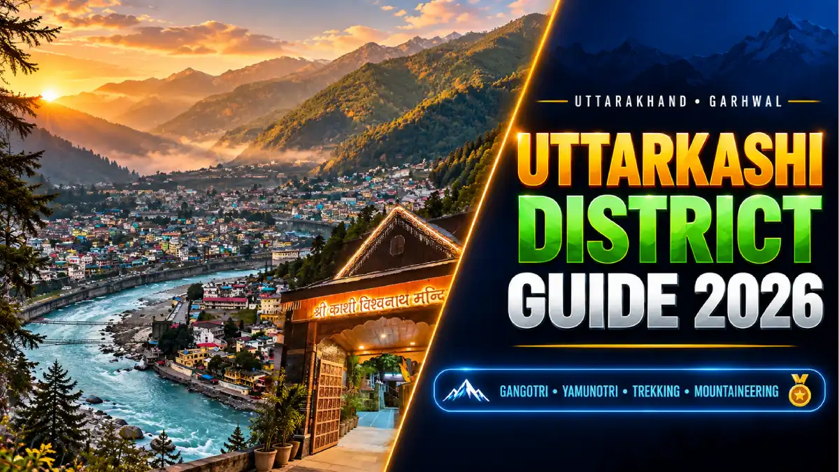
Uttarkashi district is a Himalayan district in Uttarakhand’s Garhwal division, known for pilgrimage, mountain landscapes and adventure training. Gangotri and Yamunotri draw pilgrims, while its valleys, forests and alpine meadows attract trekkers and nature lovers.
This guide brings together the district’s history, travel, sports, culture, education and public services. Uttarkashi is one of the 13 districts of Uttarakhand. Uttarkashi town is its headquarters; places such as Barkot, Purola, Mori and Harsil belong to the wider district.
District at a Glance
- State: Uttarakhand; division: Garhwal.
- Headquarters: Uttarkashi town, beside the Bhagirathi River.
- Established: 24 February 1960.
- Area: Approximately 8,016 square kilometres.
- Population: 3,30,086, according to Census 2011. This is a historical census figure, not a current population estimate.
- Six development blocks: Bhatwari, Dunda, Chinyalisaur, Naugaon, Purola and Mori.
- Main attractions: Gangotri, Yamunotri, Harsil, Dayara Bugyal, Dodital and trekking routes around Sankri.
Location and Geography
Uttarkashi lies in northern Uttarakhand, extending from inhabited river valleys to high Himalayan ridges and glaciers. The Bhagirathi and Yamuna river systems shape its landscape and settlement patterns.
Lower slopes support villages and terrace cultivation; higher elevations include forests, alpine meadows and snow-covered terrain. Conditions can change sharply between a town and a high-altitude destination on the same day. Plan journeys by valley and road corridor, since places that appear close on a map may require a long road journey.
History of Uttarkashi
Uttarkashi district was formed on 24 February 1960 from part of the former Tehri Garhwal district. The area’s earlier history is connected with the Garhwal kingdom and the princely state of Tehri Garhwal, which merged with Uttar Pradesh in 1949.
The name means “Kashi of the North.” Its religious identity is closely associated with the Vishwanath temple and the Bhagirathi. Pilgrimage, village traditions and historical mountain trading routes have influenced the district’s development. Uttarkashi became part of the new state of Uttarakhand when the state was formed in 2000.
Famous Places to Visit in Uttarkashi
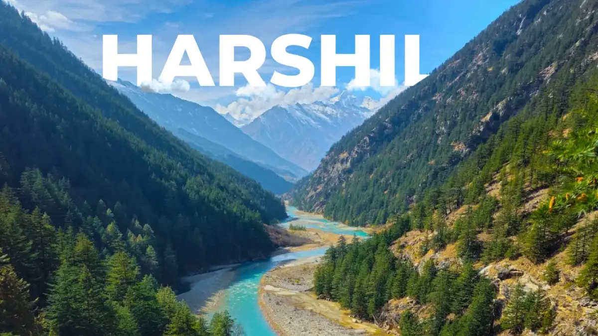
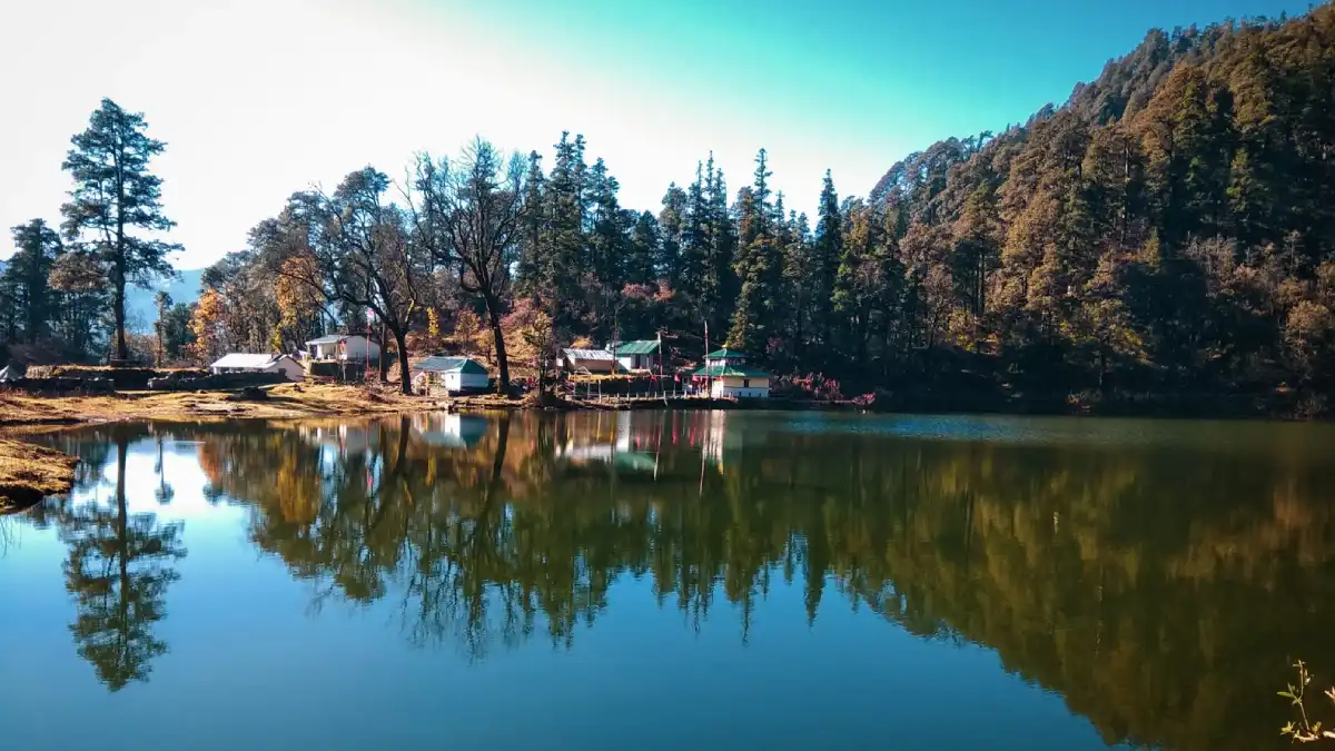
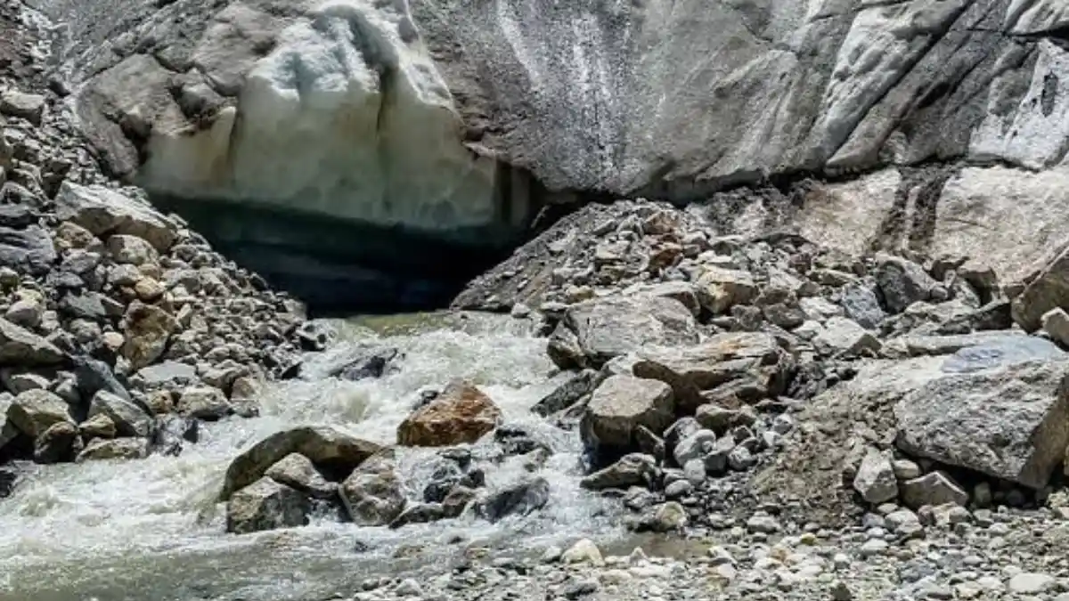
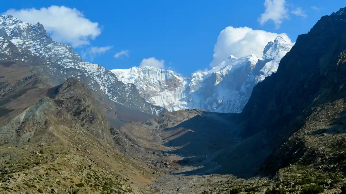
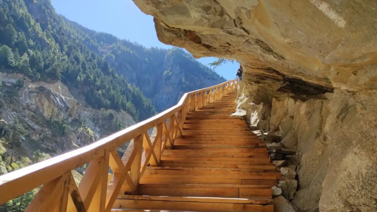
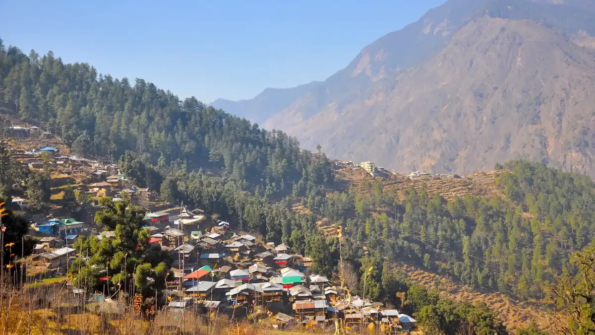
At Gangotri, the river is called the Bhagirathi. It takes the name Ganga after its confluence with the Alaknanda at Devprayag. In Uttarkashi town, the Vishwanath temple is a prominent place of worship. Kuteti Devi temple is another important local landmark. Village shrines and local deity traditions remain part of community life throughout the district.
Trekking Routes
- Dayara Bugyal: A meadow-focused trek commonly approached from villages such as Raithal.
- Dodital: A forest-and-lake journey; extensions depend on experience and the chosen itinerary.
- Gaumukh–Tapovan: A high-altitude route in the Gangotri region, requiring suitable preparation and permissions.
- Kedarkantha: A summit trek associated with the Sankri area.
- Har Ki Dun: A valley trek in the western part of the district.
- Bali Pass: A demanding crossing towards the Yamunotri region, suited to experienced participants.
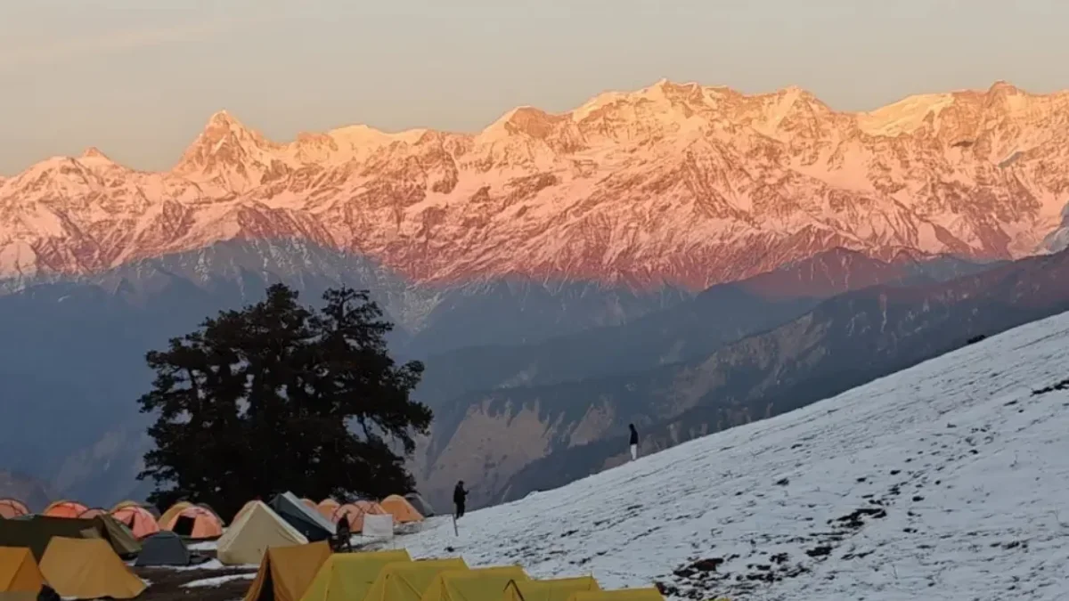
Route duration varies with starting point, conditions and overnight stops. Ask the organiser for a day-by-day itinerary, elevation profile, permit requirements and fitness expectations before choosing a trek.
How to Reach Uttarkashi
By road: The district administration’s travel page lists three approaches from Dehradun to Uttarkashi town: via Suwakholi–Mussoorie, approximately 150 km; via Rishikesh, approximately 240 km; and via Vikasnagar–Barkot, approximately 230 km. These are approximate route distances, not guaranteed travel times.
By rail: Dehradun is a practical arrival point, followed by road travel. By air: Jolly Grant Airport serves the Dehradun region, with onward travel by road.
Confirm current bus or shared-taxi services before departure. The route to Uttarkashi town differs from journeys to Yamunotri, Sankri and other western-district destinations.
Uttarkashi Weather and Best Time to Visit
Uttarkashi weather changes with altitude and season. The town stands at about 1,158 metres, while Gangotri, Yamunotri and the trekking routes lie much higher.
Live weather for Uttarkashi. Higher areas such as Gangotri and Yamunotri are colder.
The best season depends on the destination and activity. Lower settlements, pilgrimage roads and high trekking routes have different weather patterns.
- Spring and early summer: Common travel-planning periods, subject to snow clearance and seasonal openings.
- Monsoon: Rain can affect road journeys and trail access; check current conditions for the specific route.
- Autumn: Often considered for mountain travel, with colder nights at higher elevations.
- Winter: Snow changes access and accommodation availability in higher areas. Winter treks require suitable equipment and experienced arrangements.
Check the forecast for your actual destination and dates rather than relying on a district-wide temperature estimate.
Uttarkashi weather changes with altitude and season. The town stands at about 1,158 metres, while Gangotri, Yamunotri and the trekking routes lie much higher.
The best season depends on the destination and activity. Lower settlements, pilgrimage roads and high trekking routes have different weather patterns.
- Spring and early summer: Common travel-planning periods, subject to snow clearance and seasonal openings.
- Monsoon: Rain can affect road journeys and trail access; check current conditions for the specific route.
- Autumn: Often considered for mountain travel, with colder nights at higher elevations.
- Winter: Snow changes access and accommodation availability in higher areas. Winter treks require suitable equipment and experienced arrangements.
Check the forecast for your actual destination and dates rather than relying on a district-wide temperature estimate.
Uttarkashi Map and Location
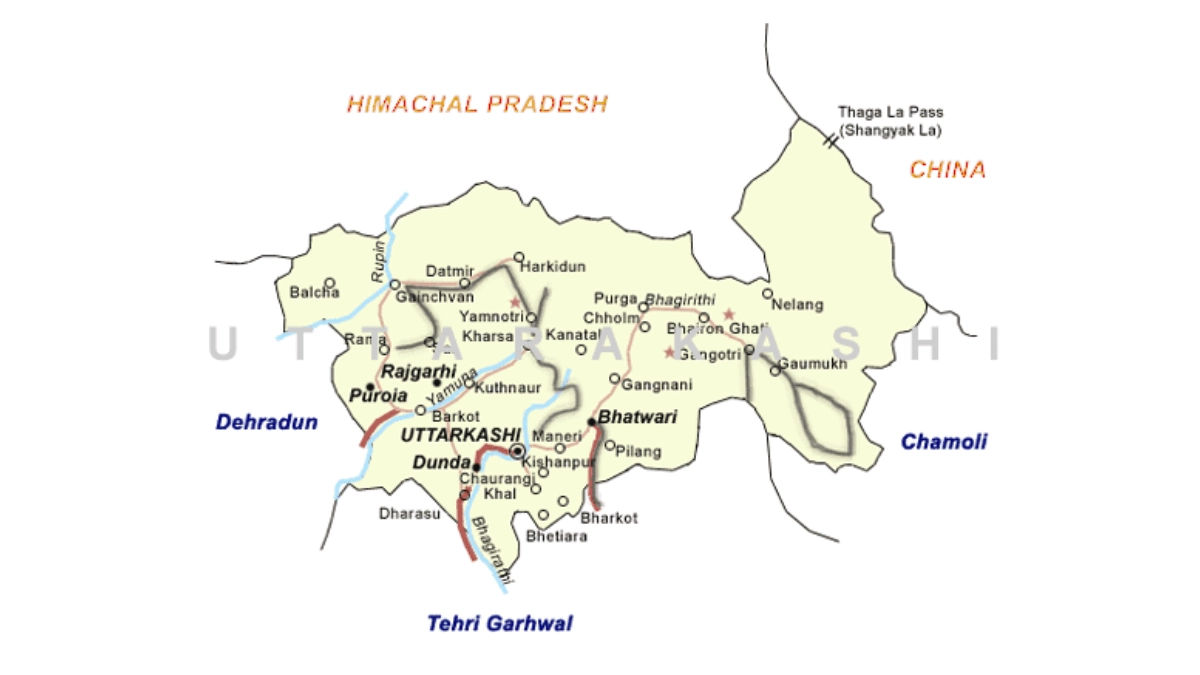
On the Uttarkashi map, the town sits in the Garhwal region of Uttarakhand, on the banks of the Bhagirathi river. It is the headquarters of Uttarkashi district and lies on the main road to Gangotri.
- North: Kinnaur and Shimla districts of Himachal Pradesh.
- North-east: Tibet.
- East: Chamoli district.
- South-east: Rudraprayag district.
- South: Tehri Garhwal district.
- West: Dehradun district.
Gangotri and Yamunotri, the sources of the Bhagirathi and the Yamuna, are also inside Uttarkashi district. Use an official map or navigation app for road distances and current route conditions.
Accommodation and Where to Stay
Choose your overnight base around the main purpose of the trip:
- Uttarkashi town: Convenient for town sightseeing, administration and onward travel.
- Harsil corridor: Useful for journeys towards Gangotri, subject to local access.
- Barkot area: A common base for the Yamunotri side.
- Sankri area: Relevant to western-district trekking departures.
- Trek approach villages: Homestays or operator-arranged accommodation may serve individual routes.
Options include hotels, guesthouses, homestays and seasonal pilgrim accommodation. Confirm heating, meals, hot water, parking, road access and cancellation terms directly. Remote stays may offer fewer services than town hotels.
Suggested Itineraries
These are planning examples, not fixed packages or confirmed operating routes.
- Two days around Uttarkashi town: Visit Vishwanath and accessible local landmarks on the first day; reserve the second for nearby sightseeing and a relaxed departure.
- Three to four days towards Harsil and Gangotri: Allow time for arrival, onward road travel, an overnight base and the return journey. Follow seasonal opening arrangements.
- A Yamunotri-focused visit: Plan separately around Barkot and the onward shrine approach rather than adding it as a quick detour from Gangotri.
- A trekking holiday: Choose one route, include preparation and arrival time, and keep a buffer for the return.
Adjust the plan to your starting city, fitness, transport and season. Covering the entire district in a weekend is unrealistic.
Sports in Uttarkashi
Uttarkashi’s sports identity includes school and college participation, district training opportunities and mountain-based activities. Athletics and field games can provide an entry point for young players, while mountaineering and climbing give the district a distinctive place in adventure sport.
Students and parents should enquire through their school, college or District Sports Office about available coaching and the pathway to recognised competitions. A disciplined training routine, qualified guidance and a record of performances help athletes prepare for trials.
Coaching availability differs by sport and location. Confirm the current programme before travelling to a facility or enrolling a child.
Notable Mountaineers from Uttarkashi
Bachendri Pal, born in Uttarkashi, became the first Indian woman to summit Mount Everest in 1984. Her achievements and work in adventure education have inspired generations.
Poonam Rana, from Nald village, completed mountaineering training at NIM and summited Everest on 21 May 2018, according to Tata Steel’s published profile.
Their journeys show how structured training and sustained preparation can take talent from mountain communities to international expeditions. Young participants interested in this path can start by learning about formal mountaineering courses and their entry requirements.
Sports Facilities, Training and Athlete Opportunities
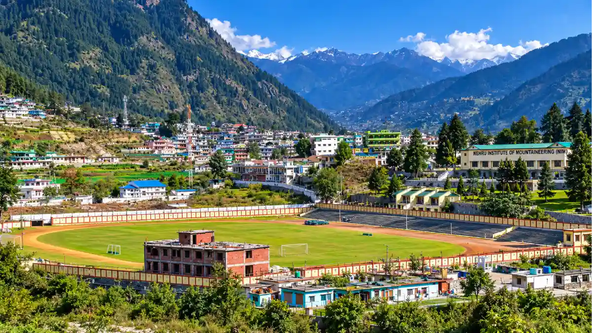
Manera Stadium is an established centre for district sports activity. Contact the District Sports Office about available coaching, age groups, practice access, trials and required documents. The published District Sports Officer contact is 01374-212007.
Nehru Institute of Mountaineering (NIM) offers Basic and Advanced Mountaineering, Search and Rescue, Method of Instruction, adventure, skiing, sport climbing and mountain terrain biking courses. Check its official website for schedules, medical requirements, fees and eligibility.
Young athletes can begin with school or college sports programmes and enquire about support through the District Sports Office and relevant sports associations. For scholarships, hostel admissions or equipment assistance, refer to a current official notice. Keep age, residence and achievement records ready; availability and eligibility differ between programmes.
Before joining a programme, ask about the coach, schedule, fees, equipment and medical requirements. Athletes seeking support should maintain certificates, competition results and a clear account of their training goals. Scholarship amounts and deadlines should always come from the programme’s current notice.
Mountaineering and Adventure Sports
Uttarkashi offers access to mountain terrain used for trekking, climbing and formal adventure training. NIM provides a structured route into mountaineering, while its published course options also include skiing, sport climbing and mountain terrain biking.
Recreational trekking and a technical mountaineering expedition have different demands. Technical activities require specialised instruction, equipment and appropriate experience. A mountain summit should be approached through progressive training rather than treated as an ordinary sightseeing stop.
Course dates and commercial activity availability are seasonal. Check the institute’s current prospectus or the organiser’s operating arrangements before booking.
Administrative Structure
The District Magistrate heads the district administration. Revenue administration operates through tehsils, while development blocks support local planning and programme implementation.
The district has six development blocks: Bhatwari, Dunda, Chinyalisaur, Naugaon, Purola and Mori. Panchayats serve rural communities, while municipal bodies manage designated urban areas. The Chief Development Officer and departmental offices oversee their respective functions.
For a certificate, application or local service, first identify the relevant village, block or tehsil. District headquarters is not necessarily the correct starting office for every request. Administration and police contact numbers appear below.
Important Towns and Settlements
- Uttarkashi: District headquarters and a major administrative and service centre.
- Bhatwari: An important settlement on the Gangotri side.
- Dunda: An administrative centre in the wider Bhagirathi valley area.
- Chinyalisaur: A significant settlement on the southern approach.
- Barkot: A service and travel base on the Yamunotri side.
- Purola: A centre serving the western part of the district.
- Mori: A settlement associated with the Tons valley region.
- Harsil and Sankri: Well-known visitor bases in different parts of the district.
These places serve different travel corridors. Select accommodation and transport according to the destination you intend to explore.
Nature and Biodiversity
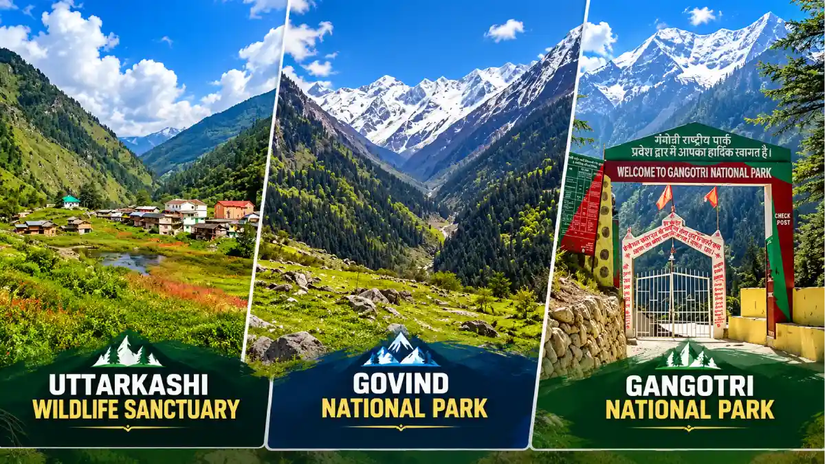
Uttarkashi’s forests, river valleys, meadows and high-altitude habitats support a varied natural landscape. Tree cover changes with elevation, including pine, oak, deodar, rhododendron, fir and birch in suitable zones.
Gangotri National Park and the Govind National Park and Wildlife Sanctuary area are important protected landscapes. Habitats in the wider district support Himalayan wildlife and birds; sightings are never guaranteed.
Nature visits can focus on forest walks, seasonal flowers, bird observation or landscape photography. Protected-area visits may require permits and designated routes. Check the relevant forest authority’s arrangements before planning an excursion.
Culture, Traditions, Festivals and Fairs
Uttarkashi’s cultural life reflects Garhwali heritage and the traditions of its different valleys. Local language, village deities, temple customs and community gatherings connect people with their landscape and history.
Magh Mela is a prominent religious and cultural fair in Uttarkashi. The district’s heritage information also mentions Sainik Mela and agricultural fairs. Such gatherings bring together worship, local trade, cultural participation, and community exchange.
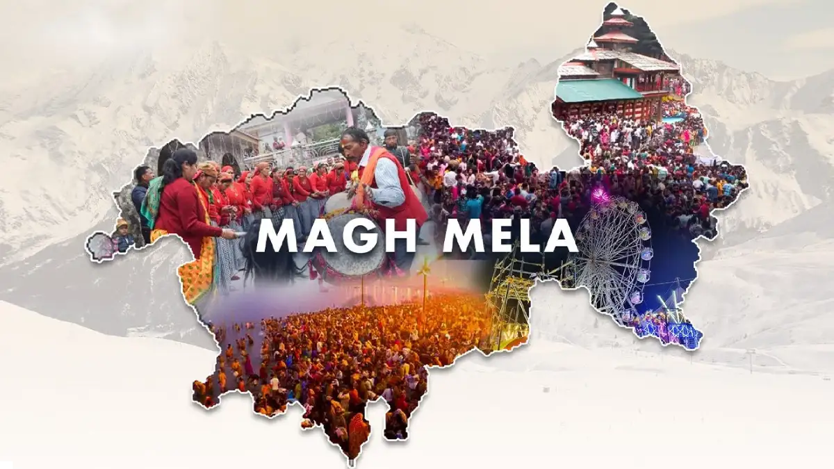
Dates and programmes differ from year to year. Village celebrations also vary across the district, so ask local hosts about the customs of the place you are visiting rather than assuming every community follows the same practice.
Local Food
Food in Uttarkashi connects with the wider mountain cuisine of Uttarakhand and locally available crops. Depending on the household and season, meals may feature mandua, jhangora, pulses, leafy vegetables, and simple home-style preparations.
Regional dishes to ask about include kafuli, phaanu and chainsoo. These belong to Uttarakhand’s broader culinary tradition and may not appear on every restaurant menu. Local fruit, including apples from suitable growing areas, adds seasonal variety.

Homestays can be a good place to learn about household food traditions. Confirm meals in advance, especially if you have dietary requirements or will arrive late.
Education and Skill Development
The district education directory lists Ram Chandra Uniyal Government PG College in Uttarkashi, B.L.J. Government PG College in Purola, and government degree colleges in Barkot, Brahmkhal, Chinyalisaur and Mori. Government polytechnics are listed at Uttarkashi and Barkot.
Students should check current courses, admissions, fees and eligibility directly with the institution. NIM offers a separate route into adventure and mountaineering skills, subject to course requirements.
For career planning, combine academic qualifications with practical skills relevant to the intended field. Enquire locally about currently available vocational training and employment services; availability should be verified through an active notice.
Livelihoods and the Local Economy
Agriculture, horticulture, livestock-related work and visitor services contribute to livelihoods in the district. Apples are an important horticultural crop in suitable areas, while village farming reflects local elevation and growing conditions.
Pilgrimage and trekking create work in accommodation, transport, guiding, food services and supplies. Such opportunities can be seasonal and depend on access and visitor demand.
Visitors can contribute to the local economy through locally operated stays, produce and skilled services. Young people considering work in tourism or adventure should enquire about training, qualifications and the operating requirements for the activity they want to pursue.
Healthcare, District Administration and Police Contacts
Emergency assistance: 112 | Ambulance: 108 | Disaster helpline: 1077.
- District Magistrate: 01374-222280
- Additional District Magistrate: 01374-222109
- Chief Development Officer: 01374-222724
- Superintendent of Police: 01374-222116
- Uttarkashi Police Station: 01374-222219
- Maneri Police Station: 01374-236204
- Dharasu Police Station: 01371-237203
- Barkot Police Station: 01375-224241
- Purola Police Station: 01373-223347
- District Emergency Operations Centre: 01374-222722 / 01374-222126
- District Hospital Uttarkashi: 01374-222103
These are published directory contacts, reviewed on 5 October 2026; telephone availability has not been tested. Use 112 for immediate emergencies. The district directory also lists healthcare facilities in Dunda, Purola, Barkot, Bhatwari, Mori, Chinyalisaur and Naugaon.
Frequently Asked Questions
Where is Uttarkashi?
Uttarkashi is in Uttarakhand, northern India. The town lies on the banks of the Bhagirathi river and is the headquarters of Uttarkashi district.
Where is Uttarkashi in India map?
On the India map, look in the northern Himalayan region, inside the state of Uttarakhand. The district borders Himachal Pradesh in the north and Tibet in the north-east.
Are Uttarkashi town and Uttarkashi district the same?
No. The town is the headquarters; the district includes many other towns, villages and mountain areas.
Is Uttarkashi and Kashi same?
No. Kashi is another name for Varanasi in Uttar Pradesh, while Uttarkashi is a separate town in Uttarakhand. The name means “Kashi of the North” because the town has a Vishwanath temple and a Manikarnika Ghat, like Varanasi.
What is Uttarkashi famous for?
Gangotri, Yamunotri, Himalayan landscapes, trekking and mountaineering training are among its best-known features.
What happened in the Uttarkashi tunnel collapse?
On 12 November 2023, part of the under-construction Silkyara tunnel in Uttarkashi district collapsed and trapped 41 workers. After a rescue operation of about 17 days, all 41 workers were brought out safely on 28 November 2023.
Where can athletes enquire about coaching?
Start with the District Sports Office, school or college. Confirm the sport, location, eligibility and current training schedule.
Where can I learn mountaineering?
Nehru Institute of Mountaineering offers formal courses. Admission depends on medical fitness, eligibility and available places.
Can Gangotri, Yamunotri and Sankri be visited in one weekend?
They lie on different travel corridors. Choose one area for a short trip and allow adequate road travel time.
What is the district population?
The Census 2011 district total is 3,30,086. It should not be presented as a current estimate.
Where should I check current openings and permissions?
Use district administration notices, official tourism information and the relevant forest or registration authority.
Useful Official Links
District Administration | Office and Police Directory | Tourist Places | Education Directory | Uttarakhand Tourism | NIM | Disaster Management | Char Dham Registration
Population: Census 2011, as reproduced in official district environmental planning material. History: district administration. Mountaineer achievements: Tata Steel’s Bachendri Pal profile. Information reviewed: 5 October 2026.
Additional references: Development Blocks, Culture and Heritage, Flora and Fauna and Travel Directions.
2 Responses