Introduction
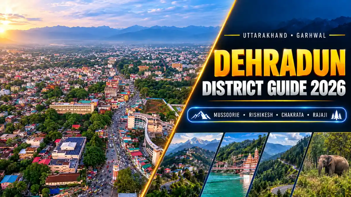
Dehradun district is a Himalayan-foothill district in Uttarakhand’s Garhwal division. It combines the Doon Valley and the state’s interim capital with hill areas such as Mussoorie and Chakrata, the pilgrimage and yoga town of Rishikesh, and forests that include part of Rajaji National Park.
Dehradun city is the district headquarters and has served as Uttarakhand’s interim capital since the state was formed in 2000. Gairsain (Bhararisain) was declared the summer capital in 2020. Dehradun is one of the 13 districts of Uttarakhand.
This guide covers the district’s history, travel, sports, education, culture, and public services. The district is wider than the city: Mussoorie, Rishikesh, Chakrata, Kalsi and Vikasnagar all belong to it.
District at a Glance
- State: Uttarakhand; division: Garhwal.
- Headquarters: Dehradun city, also the state’s interim capital.
- Separate district since: 1871, during British administration.
- Area: Approximately 3,088 square kilometres.
- Population: 16,96,694, according to the 2011. It was the second most populous district in Uttarakhand after Haridwar. This is a historical census figure, not a current population estimate.
- Six development blocks: Chakrata, Doiwala, Kalsi, Raipur, Sahaspur and Vikasnagar.
- Tehsils include: Dehradun, Vikasnagar, Chakrata, Kalsi, Tyuni, Rishikesh and Doiwala.
- Settlements: 17 towns and 764 inhabited villages at the 2011 census.
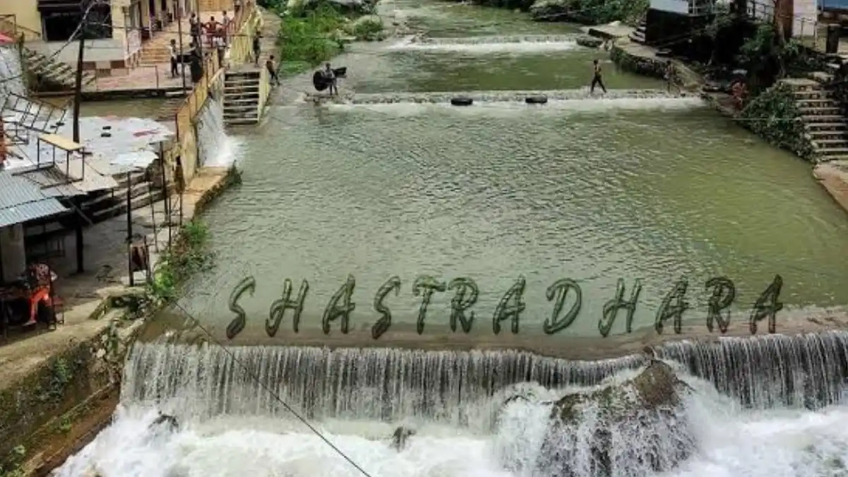
- Main attractions: Mussoorie, Sahastradhara, Robber’s Cave, Forest Research Institute, Tapkeshwar Temple, Chakrata, Rishikesh and Rajaji National Park.
Location and Geography
Dehradun district lies in the north-western corner of Uttarakhand. Its southern part is the Doon Valley, set between the Shivalik Hills and the outer Himalayan ranges. The northern part is hilly and includes the Mussoorie range and the Jaunsar-Bawar region around Chakrata.
The Yamuna roughly divides the district into a hilly north and the Doon Valley in the south. The Ganga and Yamuna systems drain the district: the Song and Suswa rivers belong to the Ganga side, while the Asan and Tons belong to the Yamuna side. The Tons forms the boundary with Himachal Pradesh. A ridge running from Mussoorie through Dehradun separates the two river basins.
A large part of the district is forest. A Central Ground Water Board district brochure reports about 2,200 square kilometres of forest area. Conditions change sharply between the valley and the hills, so plan journeys by road corridor and altitude rather than by distance on a map.
Famous Places to Visit in Dehradun District
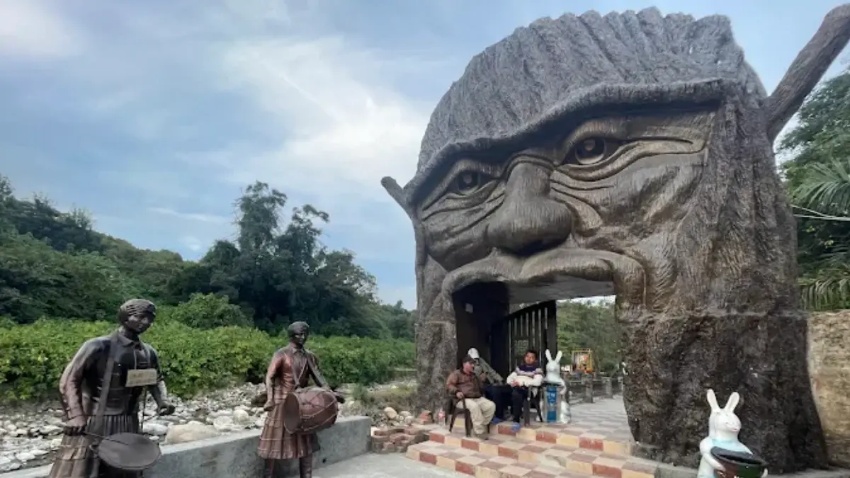
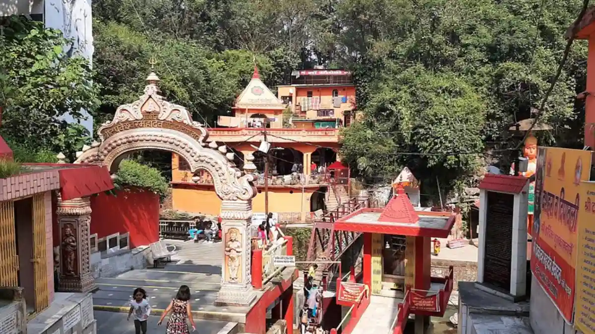
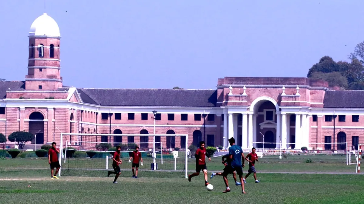
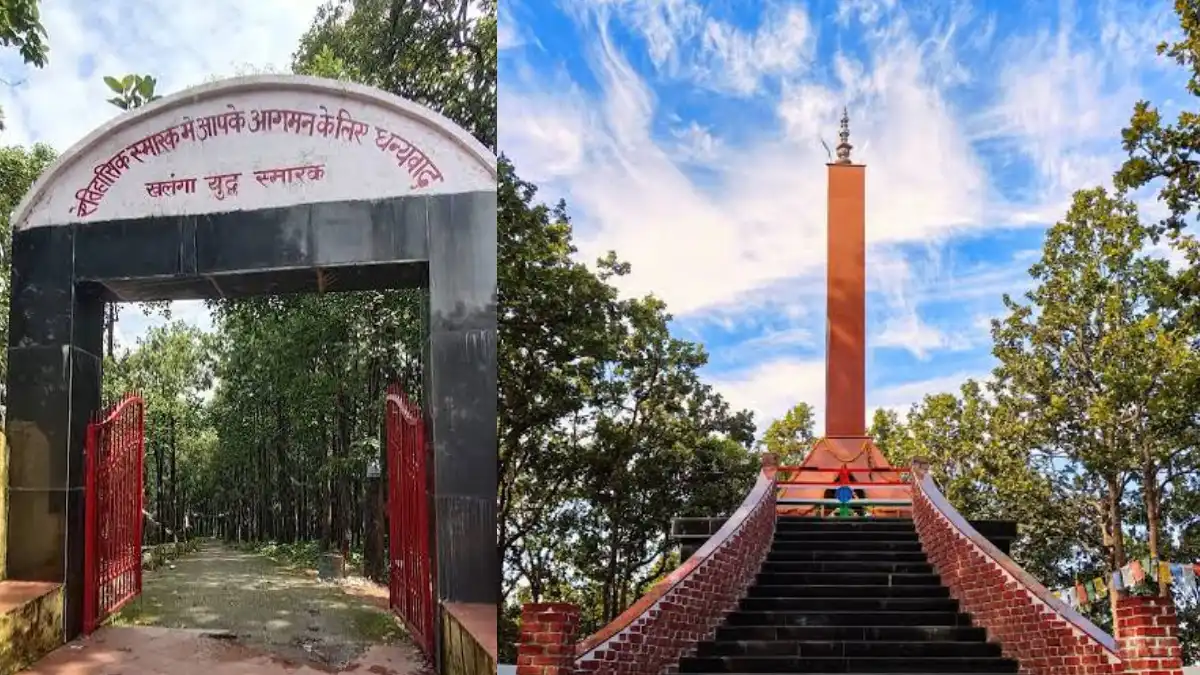
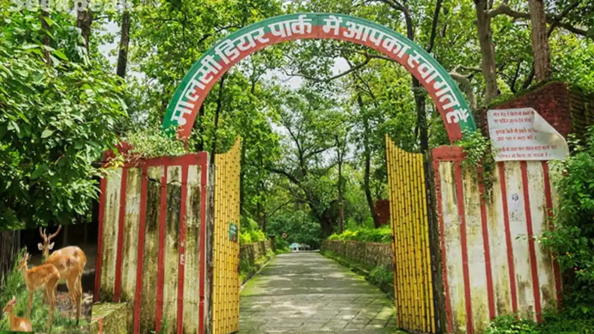
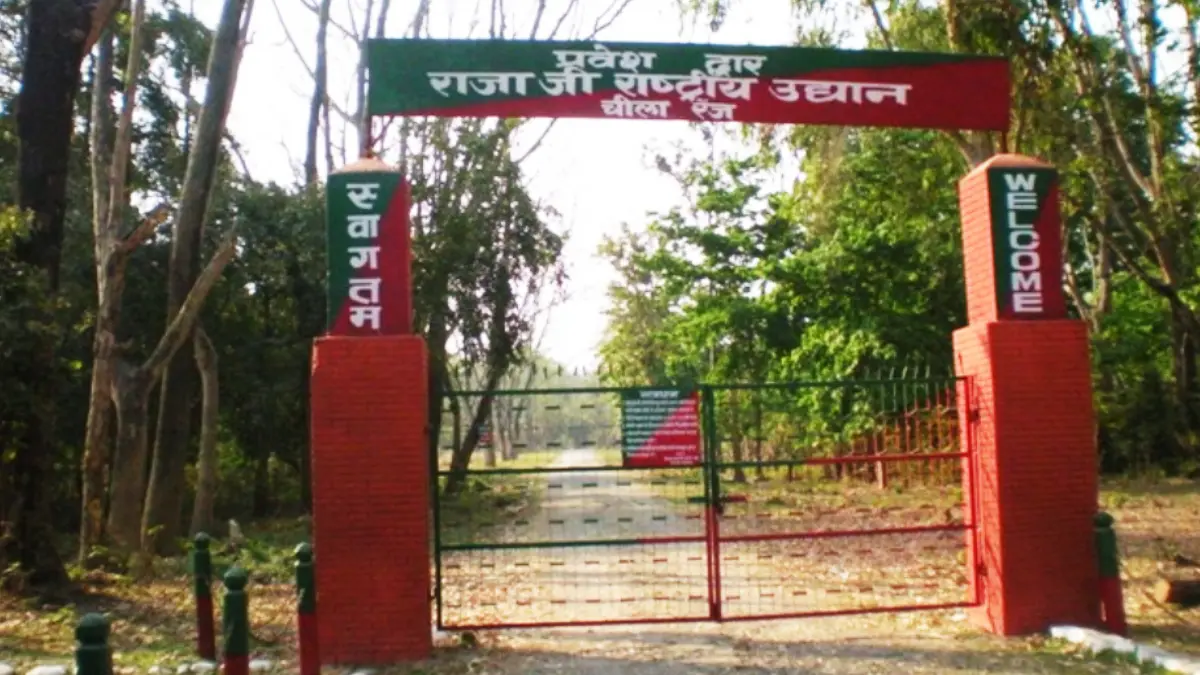
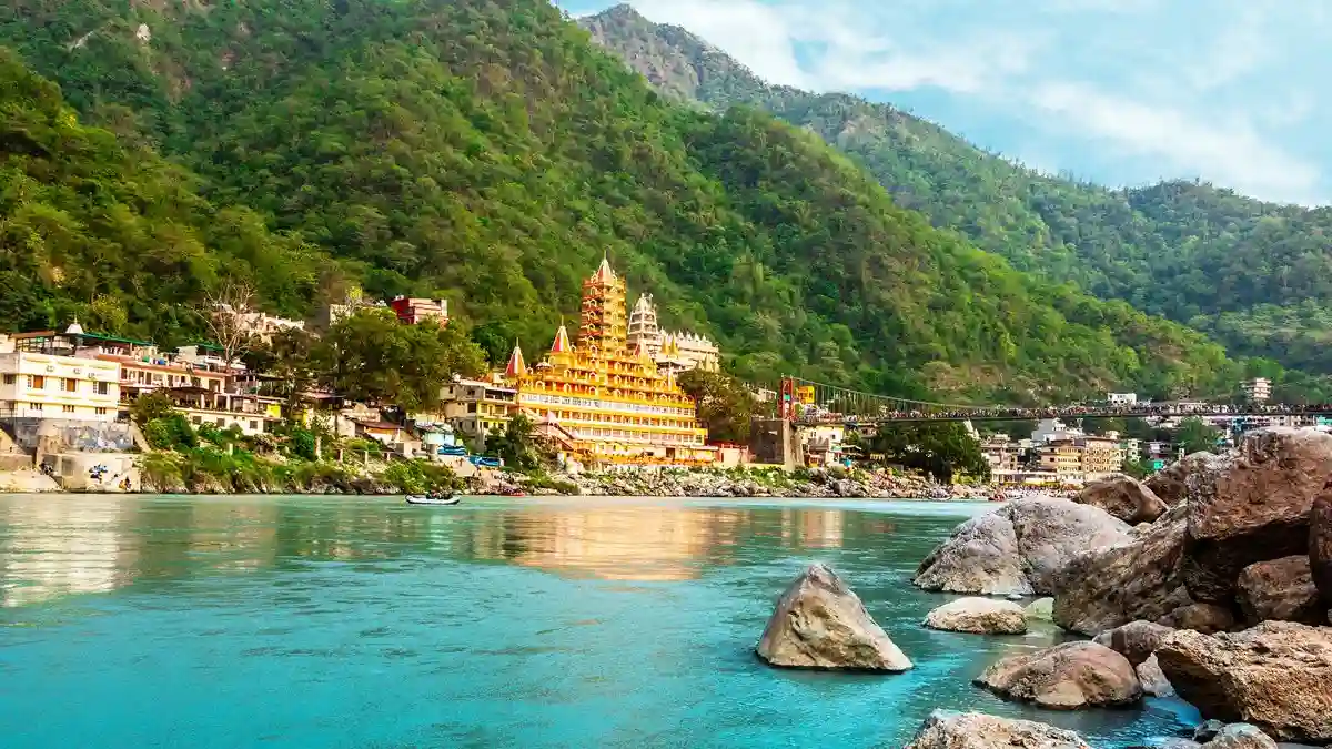
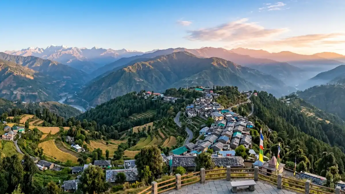
History of Dehradun District
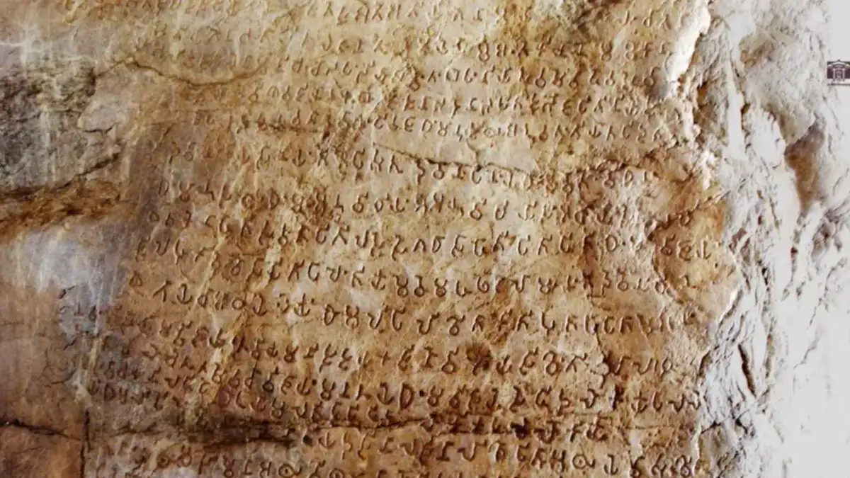
The Doon Valley has long been a settled area. District histories connect it with Puranic traditions, and the Ashokan rock edicts at Kalsi show that the region was already significant in ancient times.
The city’s name is traditionally linked to the dera (camp) set up in the dun (valley) by Guru Ram Rai, the eldest son of the seventh Sikh Guru, Guru Har Rai, in the late 17th century. His memory is kept alive at the Guru Ram Rai Darbar Sahib and the annual Jhanda Mela.
The Anglo-Nepalese (Gurkha) War of 1814–16 brought the Dun under British control. The Battle of Nalapani at Khalanga in 1814 was the first battle of that war, and the Sugauli Treaty was signed in December 1815. The Dun was attached to Saharanpur district in 1842 and has been administered as a separate district since 1871. The district was added to the Garhwal division in the 1970s.
Under British rule, Dehradun grew into an administrative, educational and military centre. The Forest Research Institute began as the Imperial Forest Research Institute in 1906, the Rashtriya Indian Military College was established in 1922, and the Indian Military Academy followed in 1932. Dehradun became part of the new state of Uttarakhand in 2000 and has been its interim capital since then.
Distances in this guide are approximate. Opening days, entry rules, and seasonal access can change, so check the current arrangements for each place before you travel.
Religious and Heritage Sites
- Tapkeshwar Mahadev Temple: A cave shrine to Shiva in Dehradun city, especially busy during Mahashivratri.
- Guru Ram Rai Darbar Sahib: The shrine linked with the origin of the city’s name and the venue of the Jhanda Mela.
- Chandrabani (Gautam Kund): A temple site on the Dehradun–Delhi road, listed on the district website.
- Mindrolling Monastery and the Buddha Temple: Well-known Buddhist landmarks of Dehradun.
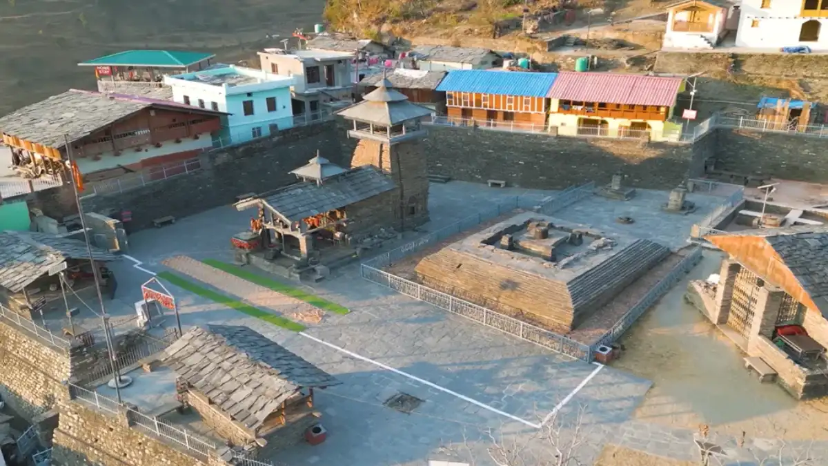
- Mahasu Devta Temple, Hanol: An ASI-protected temple in Jaunsar-Bawar, built from a blend of stone and wood. The Mahasu tradition is followed across a wide mountain region well beyond Hanol.
- Lakhamandal temples: A protected temple complex dedicated to Shiva, associated in local tradition with the Pandavas.
- Kalsi rock edicts: An important Mauryan-era inscription site beside the Yamuna valley road to Chakrata.
- Khalanga War Memorial: A heritage monument connected with the 1814 Battle of Nalapani.
Many of these are active places of worship or protected monuments. Dress modestly, follow local rules, and avoid touching or climbing on protected structures.
Mussoorie, Chakrata and Hill Areas
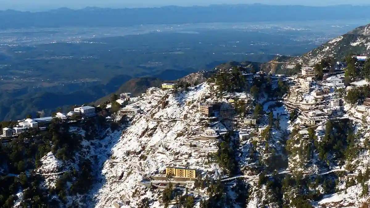
Mussoorie is about 35 km from Dehradun city and is part of Dehradun district. Landour, the adjoining area with a military cantonment, is considered part of greater Mussoorie. Lal Tibba in Landour is among its high points, while the Mall Road, Gun Hill viewpoint, and Landour Bazaar are popular stops.
Chakrata is a cantonment town in the Jaunsar-Bawar region, roughly 90 km from Dehradun. It can be reached via Vikasnagar and Kalsi, or via Mussoorie. Tiger Falls and the forested hills nearby attract nature lovers, and the region keeps its own Mahasu Devta traditions.
Hill roads can be slow, especially in the monsoon. Chakrata includes a cantonment area, so follow local access rules, and check road and weather conditions before leaving Dehradun.
How to Reach Dehradun
By air: Jolly Grant Airport (Dehradun Airport) is about 20 km from the city centre, according to the district website. Taxis are available for the onward journey.
By rail: Dehradun Railway Station is close to the city centre and is a major railhead in Uttarakhand, with services to Delhi and other cities. Check current train schedules before booking.
By road: Dehradun is roughly 250 km from Delhi, a drive of about four to six hours depending on traffic and route. The Inter State Bus Terminal (ISBT) is near Clement Town, and the Mussoorie bus station is near the railway station. Approximate road distances: Mussoorie 35 km, Rishikesh 40 km, and Haridwar 55 km.
From Dehradun, Uttarkashi is approximately 150 km via Suwakholi–Mussoorie, according to the Uttarkashi district administration. These are approximate route distances, not guaranteed travel times. Confirm current bus or shared-taxi services before departure.
Weather and Best Time to Visit
Dehradun district’s weather changes with altitude and season. The Doon Valley can be hot in summer, while Mussoorie and other hill areas stay cooler and can see snow in winter.
Live weather for Dehradun. Higher areas such as Mussoorie and Chakrata are cooler.
The best season depends on the destination and activity. The valley, hill stations, and forest reserves have different weather patterns.
- Winter (November to February): Cool days and cold nights. Higher areas such as Mussoorie may receive snow, which can affect hill roads.
- Summer (March to mid-June): The Doon Valley can become hot, especially in May and early June. Hill areas are more comfortable.
- Monsoon (mid-June to September): Most of the district’s annual rainfall arrives in these months, with July and August the wettest. Check road conditions and forest-reserve access before travelling.
- Autumn (October to early November): Often considered pleasant for sightseeing, with cooler nights.
Check the forecast for your actual destination and dates rather than relying on a district-wide temperature estimate.
Dehradun Map and Location
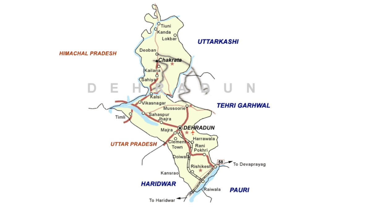
On the Dehradun map, the district sits in the northwestern corner of Uttarakhand, with the city in the Doon Valley. The district is bordered by:
- North: Uttarkashi district.
- East: Tehri Garhwal and Pauri Garhwal districts.
- South: Saharanpur district of Uttar Pradesh, with Haridwar district to the south-east.
- West: Sirmaur district of Himachal Pradesh, separated by the Tons and Yamuna rivers.
Rishikesh, Mussoorie and Chakrata all lie inside the district, in different directions from the city. Use an official map or navigation app for road distances and current route conditions.
Accommodation and Where to Stay
Choose your overnight base around the main purpose of the trip:
- Dehradun city: Convenient for sightseeing, institutions, transport, and onward journeys.
- Raipur area: Useful if your visit is linked to sports facilities on that side of the city.
- Mussoorie and Landour: Suited to hill-station stays and cooler weather.
- Rishikesh: A common base for the Ganga-side pilgrimage and yoga circuit.
- Chakrata and Kalsi area: Relevant for Jaunsar-Bawar travel and heritage sites.
Options include hotels, guesthouses, homestays, and resorts. Confirm heating, meals, parking, road access, and cancellation terms directly. Hill stays can have fewer services than city hotels.
Suggested Itineraries
These are planning examples, not fixed packages or confirmed operating routes.
- Two days in Dehradun city: Visit the Forest Research Institute and Tapkeshwar on the first day; keep the second for Robber’s Cave, Sahastradhara and the Khalanga War Memorial.
- Three days with Mussoorie: Spend two days in the city and one in Mussoorie and Landour, allowing time for hill-road travel.
- Chakrata and heritage trail: Plan two to three days via Vikasnagar and Kalsi, including the Ashokan edicts and temples such as Lakhamandal.
- Nature visit: Pair a Rajaji National Park safari, when zones are open, with a stay near the park gates.
- Sports-focused visit: Plan around the Raipur sports complex and confirm access with the organisers or the Sports Department first.
Adjust the plan to your starting city, transport, and season. Covering the entire district in a short trip is unrealistic.
Sports in Dehradun
Dehradun is both the administrative centre of sport in Uttarakhand and a training hub. The Sports Department’s directorate operates from the Maharana Pratap Sports College campus at Raipur, and the Rajiv Gandhi International Cricket Stadium is in the same area. State-level events have been held at the sports college, including the Khel Mahakumbh inaugurated there in December 2021.
Uttarakhand hosted the 38th National Games, and in October 2026 the Chief Minister directed officials to maintain and make full use of the sports infrastructure developed for them.
Students and parents should enquire through their school, college or the District Sports Office about coaching and the pathway to recognised competitions. A disciplined routine, qualified guidance and a record of performances help athletes prepare for trials.
Coaching availability differs by sport and location. Confirm the current programme before travelling to a facility or enrolling a child.
Sports Facilities, Training and Athlete Opportunities
Rajiv Gandhi International Cricket Stadium is in the Raipur area of Dehradun, within the Maharana Pratap Sports College complex. It has a seating capacity of about 25,000 and floodlights for day-night matches. It was the first international-standard cricket stadium in Uttarakhand. The Afghanistan Cricket Board adopted it as a home ground in 2018, and it has hosted T20 internationals.
Maharana Pratap Sports College at Raipur was established in 1993 and is one of the sports colleges run by the Department of Sports, Government of Uttarakhand. The department also runs sports hostels for specialised training. Check its current notices for the list of disciplines, selection trials, age limits, and documents required.
Uttarakhand State Sports University is being developed with its headquarters at Gaulapar, Haldwani, not in Dehradun, according to the Governor’s office. Dehradun’s state-run sports college is a separate institution.
Young athletes can begin with school or college sports programmes and enquire about support through the District Sports Office and relevant sports associations. For scholarships, hostel admissions or equipment assistance, refer to a current official notice from the Department of Sports. Keep age, residence and achievement records ready; availability and eligibility differ between programmes.
Notable Sportspersons from Dehradun
Sneh Rana was born in Dehradun on 18 February 1994. She is an off-spin bowling all-rounder who has played for India, and she made her Test debut against England on 16 June 2021.
Sunny Rana, born in Dehradun on 25 December 1987, is a cricketer who has played domestic cricket for Uttarakhand. He made his first-class debut in the 2018–19 Ranji Trophy.
Their careers show how players from the district can progress through domestic cricket and reach higher levels. Young players can start by joining school and club programmes and learning about the state’s selection pathways.
Education, Training and Research Institutions
Dehradun is a notable academic and research hub. Institutions based in the district include:
- Indian Military Academy (IMA): The Army’s officer training academy, established in 1932.
- Rashtriya Indian Military College (RIMC): Established in 1922 and a feeder institution for the National Defence Academy and the Indian Naval Academy.
- Forest Research Institute (FRI): Established in 1906 as the Imperial Forest Research Institute.
- Wadia Institute of Himalayan Geology and the Indian Institute of Remote Sensing: Research and training institutions.
- Schools and universities: The Doon School, Welham Boys’ School, Welham Girls’ School, Doon University and others.
ONGC and the Survey of India also have a major presence in the city. Students should check current courses, admissions, fees and eligibility directly with each institution.
Administrative Structure
The District Magistrate heads the district administration. Revenue administration operates through tehsils, while development blocks support local planning and programme implementation.
The district has six development blocks: Chakrata, Doiwala, Kalsi, Raipur, Sahaspur and Vikasnagar. Tehsils include Dehradun, Vikasnagar, Chakrata, Kalsi, Tyuni, Rishikesh and Doiwala; check current district notices, as administrative units can change.
Dehradun city is governed by the Dehradun Municipal Corporation, and other urban local bodies include Rishikesh and Doiwala. Cantonment boards operate in Dehradun (Garhi), Landour and Chakrata. Many state-level offices and institutions are based in Dehradun, but a certificate or service request still begins at the relevant village, block, tehsil or municipal office.
Important Towns and Settlements
- Dehradun: District headquarters, interim state capital and the main administrative and service centre.
- Rishikesh: A Ganga-side pilgrimage and yoga town.
- Mussoorie and Landour: Hill stations and cantonment areas.
- Vikasnagar and Herbertpur: Settlements on the western approach towards Kalsi and Chakrata.
- Doiwala and Raiwala: Settlements on the Rishikesh side of the Doon Valley.
- Sahaspur and Clement Town: Settlements around the Doon Valley.
- Chakrata and Kalsi: Gateways to Jaunsar-Bawar and heritage sites.
These places lie along different travel corridors. Select accommodation and transport according to the destination you intend to explore.
Nature and Biodiversity
Dehradun district’s landscape ranges from Shivalik foothills and Doon Valley forests to higher hill forests near Mussoorie and Chakrata. A large part of the district is forest, and the Ganga and Yamuna river systems shape its valleys.
Rajaji National Park was formed in 1983 by merging the Rajaji, Motichur and Chilla sanctuaries and covers about 820 square kilometres across Dehradun, Haridwar and Pauri Garhwal districts. It became a tiger reserve in 2015 and is known for elephants. Safari zones are generally seasonal and may close during the monsoon, so confirm arrangements on the Tiger Reserve website.
Nature visits can focus on forest walks, birdwatching, seasonal flowers, or photography. Protected-area visits may require permits and designated routes. Check the relevant forest authority’s arrangements before planning an excursion, and wildlife sightings are never guaranteed.
Culture, Traditions, Festivals and Fairs
Dehradun’s culture blends Garhwali heritage with the traditions of its many institutions and communities. More than half of the district is culturally part of the Mahasu region, which includes Jaunsar-Bawar, where Mahasu Devta worship and local customs remain important. Hindi, Garhwali and English are widely spoken.
Jhanda Mela is held at the Guru Ram Rai Darbar Sahib on the fifth day after Holi. Khalanga Mela is held around the last week of November in memory of the Gorkha soldiers of the 1814 battle. Tapkeshwar Temple sees large crowds during Mahashivratri.
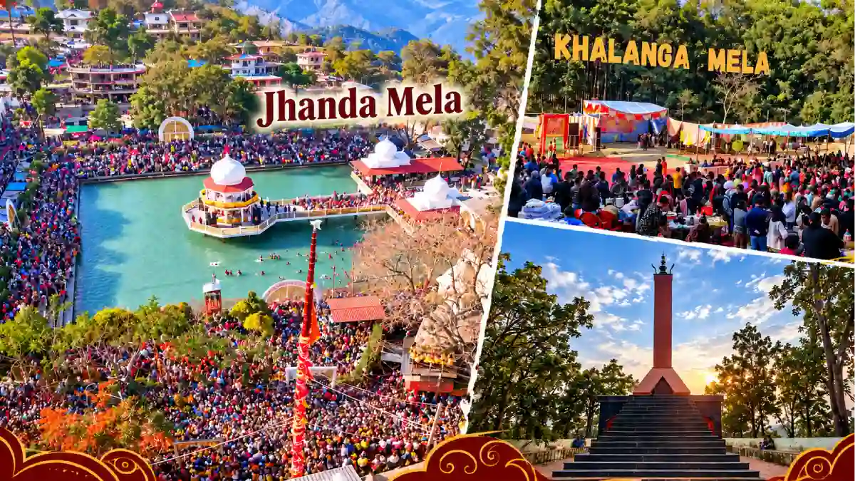
Dates and programmes differ from year to year. Village celebrations also vary across the district, so ask local hosts about the customs of the place you are visiting rather than assuming every community follows the same practice.
Local Food
Food in Dehradun mixes North Indian city fare with the mountain cuisine of Uttarakhand. The city is also known for basmati rice and bakery products, and the Doon Valley is associated with litchi orchards.
In hill households, meals may feature mandua, jhangora, pulses, leafy vegetables and simple home-style preparations, depending on the family and season. Regional dishes to ask about include kafuli, phaanu and chainsoo. These belong to Uttarakhand’s broader culinary tradition and may not appear on every restaurant menu.

Homestays in the hill areas can be a good place to learn about household food traditions. Confirm meals in advance, especially if you have dietary requirements or will arrive late.
Livelihoods and the Local Economy
Dehradun’s economy rests on administration, education, research, defence-linked institutions, tourism and services. Agriculture remains important, particularly in the valley and hill blocks. Principal crops in the district include paddy, wheat, maize, sugarcane and mandua.
Mussoorie, Rishikesh and the heritage and forest sites create work in accommodation, transport, guiding and food services. Such opportunities can be seasonal and depend on access and visitor demand.
Visitors can support the local economy through locally operated stays, produce and skilled services. Young people considering work in tourism, forestry, sports or defence-related fields should enquire about training, qualifications and the entry requirements for the career they want to pursue.
Healthcare, District Administration and Emergency Contacts
Emergency assistance: 112 | Ambulance: 108 | Disaster helpline: 1077.
Dehradun city has major government hospitals, including Doon Hospital and Coronation Hospital, along with many private hospitals and clinics. Facilities in hill areas such as Chakrata and Kalsi are fewer and farther apart, so plan travel and medical needs. For district office and department numbers, use the directory on the District Administration website.
Contacts and facilities were reviewed on 6 October 2026; telephone availability has not been tested. Use 112 for immediate emergencies.
Frequently Asked Questions
Is Dehradun the capital of Uttarakhand?
Dehradun has been Uttarakhand’s interim capital since the state was formed in 2000. Gairsain (Bhararisain) in Chamoli district was declared the summer capital in 2020.
Are Dehradun city and Dehradun district the same?
No. The city is the headquarters; the district also includes Mussoorie, Rishikesh, Chakrata, Kalsi, Vikasnagar, and many villages and forest areas.
Where is Dehradun district?
It is in the north-western corner of Uttarakhand, in the Garhwal division. It borders Uttarkashi to the north, Tehri Garhwal and Pauri Garhwal to the east, Uttar Pradesh to the south and Himachal Pradesh to the west.
Is Mussoorie in Dehradun district?
Yes. Mussoorie, with the adjoining Landour area, is part of Dehradun district and lies about 35 km from Dehradun city.
Is Rishikesh in Dehradun district?
Yes. Rishikesh is a tehsil of Dehradun district. Nearby Haridwar is a separate district.
What is Dehradun district famous for?
It is known for the Doon Valley, Mussoorie, Rishikesh, Rajaji National Park, institutions such as the Indian Military Academy and the Forest Research Institute, and heritage sites at Kalsi and Lakhamandal.
What are the six blocks of Dehradun district?
Chakrata, Doiwala, Kalsi, Raipur, Sahaspur and Vikasnagar.
What is the population of Dehradun district?
The Census 2011 district total is 16,96,694. It should not be presented as a current estimate.
Where is the Rajiv Gandhi International Cricket Stadium?
It is in the Raipur area of Dehradun, within the Maharana Pratap Sports College complex. It has a seating capacity of about 25,000.
Is Uttarakhand Sports University in Dehradun?
No. Its headquarters is at Gaulapar, Haldwani. Dehradun has the separate Maharana Pratap Sports College at Raipur.
How far is Dehradun from Delhi?
Roughly 250 km by road, with a journey of about four to six hours depending on traffic and route.
Where should I check current openings and permissions?
Use district administration notices, official tourism information, the Rajaji Tiger Reserve website, and the relevant forest or protected-monument authority.
Useful Official Links
District Administration | How to Reach Dehradun | Uttarakhand Tourism | ASI Dehradun Circle | Rajaji Tiger Reserve | Department of Sports | Disaster Management | Char Dham Registration
Population: Census 2011. Area, tehsils, blocks, rivers, and climate: Central Ground Water Board district brochure. History and tourism: district administration and ASI Dehradun Circle. Sports facilities: Government of Uttarakhand and published reports. Information reviewed: 6 October 2026.