

Introduction
Champawat district is a small border district in the Kumaon division of Uttarakhand. It is best known for Champawat town, the old capital of the Chand dynasty, the ancient Baleshwar Temple, the Purnagiri Shakti Peeth near Tanakpur, Lohaghat with the Mayawati (Advaita) Ashram and Abbott Mount, and the legendary Champawat Tiger hunted by Jim Corbett. The district headquarters is Champawat, and the district shares a border with Nepal along the Sharda (Mahakali) River.
Champawat is one of the 13 districts of Uttarakhand. It was carved out in 1997 and, by the 2011 Census, is the second least populous district in the state. Its quiet hill towns, Chand-era temples, tea gardens and Himalayan views make it one of Kumaon’s least crowded destinations.
This guide covers the district’s history, map and location, tehsils and blocks, places to visit, travel, weather, sports, education, culture and public services. Lohaghat, Tanakpur and Purnagiri are all in Champawat district.
District at a Glance
- State: Uttarakhand; division: Kumaon.
- Headquarters: Champawat, at an elevation of about 1,615 metres.
- District since: 15 September 1997, when it was carved out of Pithoragarh and Nainital districts. Earlier, Champawat was a tehsil of Pithoragarh district.
- Area: About 1,766 square kilometres according to the district administration. Some published sources give slightly different figures.
- Population: 2,59,648 (1,31,130 males and 1,28,518 females), according to the 2011 Census. This is a historical census figure, not a current estimate.
- Sex ratio (Census 2011): 980 females per 1,000 males; literacy: 79.83 per cent (91.61 per cent male and 68.05 per cent female).
- Languages: Kumaoni is the first language of about 78 per cent of the population, followed by Hindi at about 19 per cent.
- Villages: 705, of which 632 are populated, with 313 gram panchayats.
- Tehsils (5): Barakot, Champawat, Lohaghat, Pati and Purnagiri, with two sub-tehsils, Pulla and Munch. Check the district website for the current list, as administrative units change.
- Development blocks (4): Barakot, Champawat, Lohaghat and Pati.
- Towns: Tanakpur, Champawat and Lohaghat (statutory towns) and Banbasa (census town).
- Assembly constituencies: Champawat and Lohaghat.
- PIN code: 262523 (Champawat); vehicle registration: UK 03.
- Main attractions: Baleshwar Temple, Purnagiri, Mayawati Ashram, Abbott Mount, Banasur Fort, Ek Hathiya Ka Naula, Devidhura and Pancheshwar.
Location and Geography
Champawat lies in the far southeast of Uttarakhand, in eastern Kumaon. It is bordered by Pithoragarh district to the north, Nepal to the east (separated by the Mahakali or Sharda River), Udham Singh Nagar district to the south, Nainital district to the west, and Almora district to the northwest. You can read about the neighbouring hill districts in our Almora district guide, and about another Kumaon district in our Bageshwar district guide.
The district is mostly hilly, with altitudes ranging from the lowland near Tanakpur and Banbasa at about 200 metres up to ridges near 2,000 metres. Champawat town is at about 1,615 metres, Lohaghat is at roughly 1,700-1,750 metres, and Mayawati Ashram is at about 1,940 metres. The Sharda River forms the border with Nepal, and the Tanakpur area at the foot of the hills opens onto the plains. Plan journeys by road corridor rather than by distance on a map, since hill roads can be slow.
History of Champawat District
According to the district administration, Champawat takes its name from Princess Champawati, the daughter of King Arjun Deo, who ruled the region and had his capital here. After the decline of the Katyuri kings, the Chand Rajputs reunited Kumaon under one rule. A Chandravanshi prince named Som Chand built a fort here, called Rajbunga, and the place later became known as Champawat. The Chand dynasty ruled Kumaon from Champawat before later moving its capital elsewhere, and Chand-era temples and monuments still stand in the town. Champawat is also said, in folklore, to be connected with Lord Vishnu’s Kurma avatar and with the Mahabharata.
After the British took over Kumaon, a cantonment was first set up at Champawat and then shifted to Lohaghat in 1815. In the early 20th century, local people began to take part in the national movement, and the area became part of independent India in 1947. In 1972, Champawat tehsil of Almora district was transferred to Pithoragarh district. Champawat district was created on 15 September 1997, taking in areas from Pithoragarh and Nainital districts, because of the district’s difficult geography and scattered population. It became part of the new state of Uttarakhand in 2000.
Famous Places to Visit in Champawat District
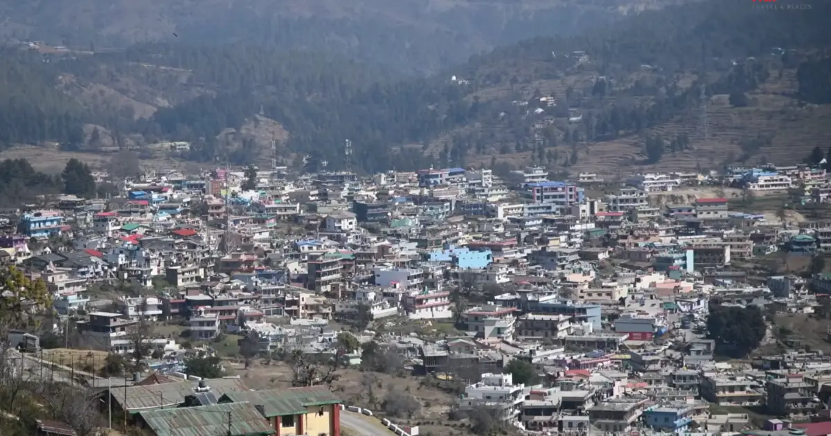

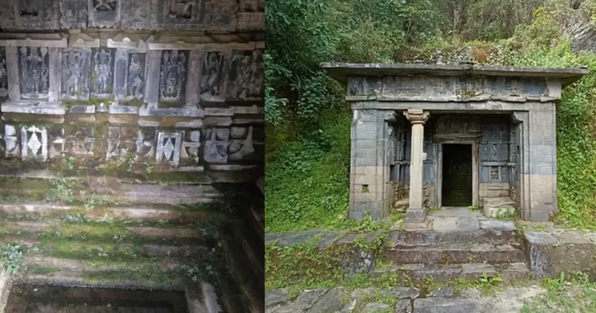
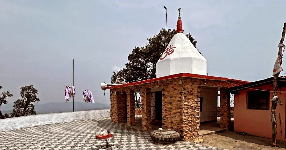
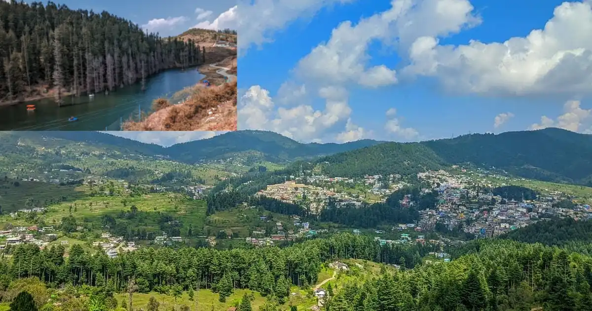
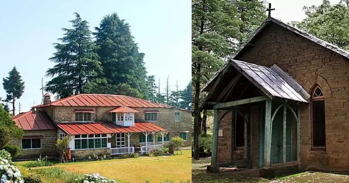

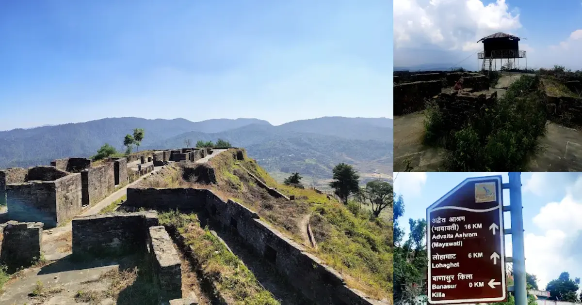


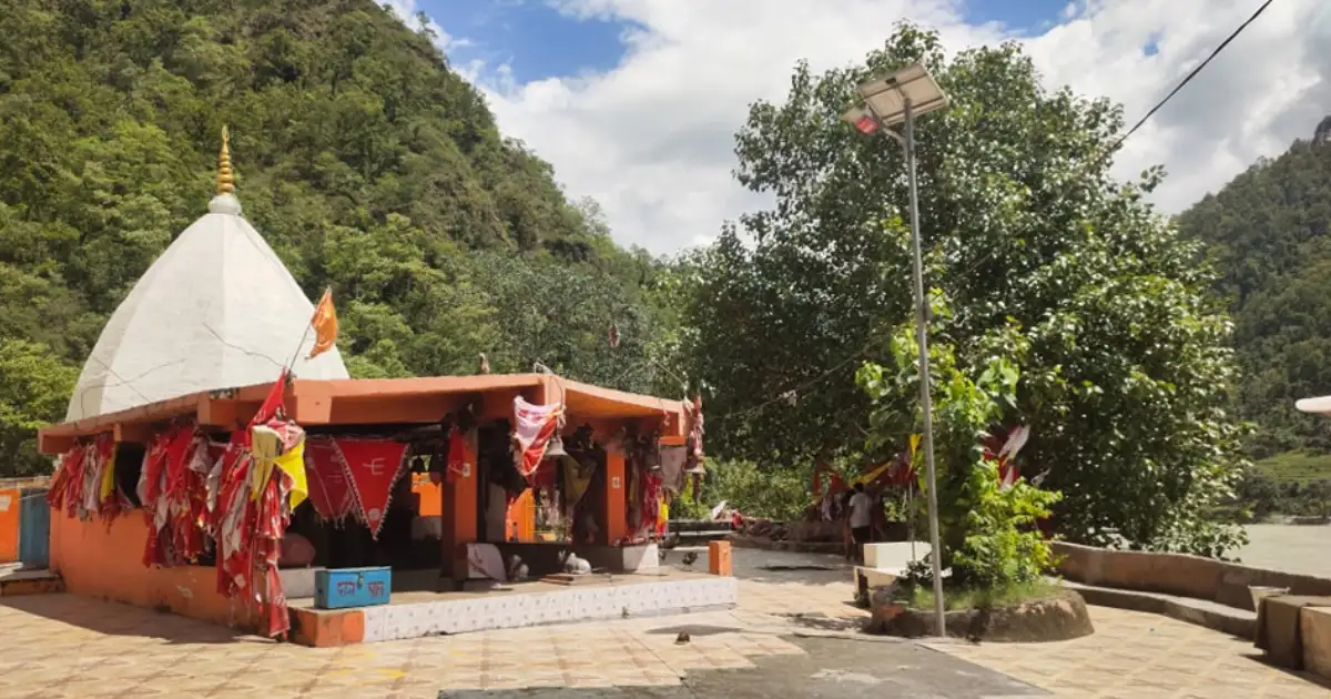
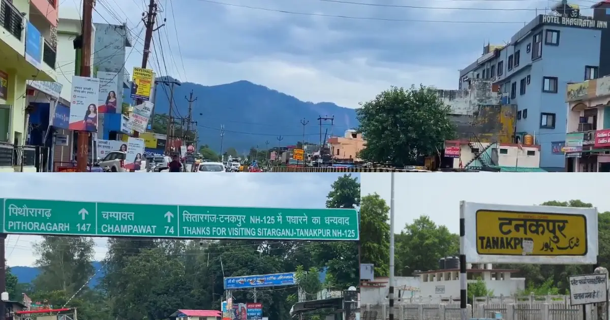
Distances in this guide are approximate. Opening days, entry rules, and seasonal access can change, so check the current arrangements for each place before you travel.
Religious and Heritage Sites
- Baleshwar Temple, Champawat: A Chand-era Shiva temple with a compound that also holds shrines to Ratneshwar and Champawati Durga. A Mahashivratri fair is held here.
- Nagnath Temple, Champawat: Described by the district administration as an excellent example of ancient Kumaoni architecture.
- Kranteshwar Mahadev and Kandev hill: A hilltop Shiva temple linked to the Kurma avatar legend.
- Gwal (Golu) Devta temple: A shrine to the Kumaoni deity of justice, whose story is associated with Champawat.
- Purnagiri Temple: One of the Shakti Peeths, where a fair is held every year during Chaitra Navratri.
- Barahi Devi Temple, Devidhura: The site of the Bagwal ritual on Raksha Bandhan.
- Maneshwar Shiv Temple: An ancient Shiva temple on the road to Lohaghat, associated with the Chand rulers.
- Champawat Fort: The old fort that now houses the tehsil office.
- Banasur Fort, Lohaghat: A hilltop fort ruin linked to the legend of Banasur.
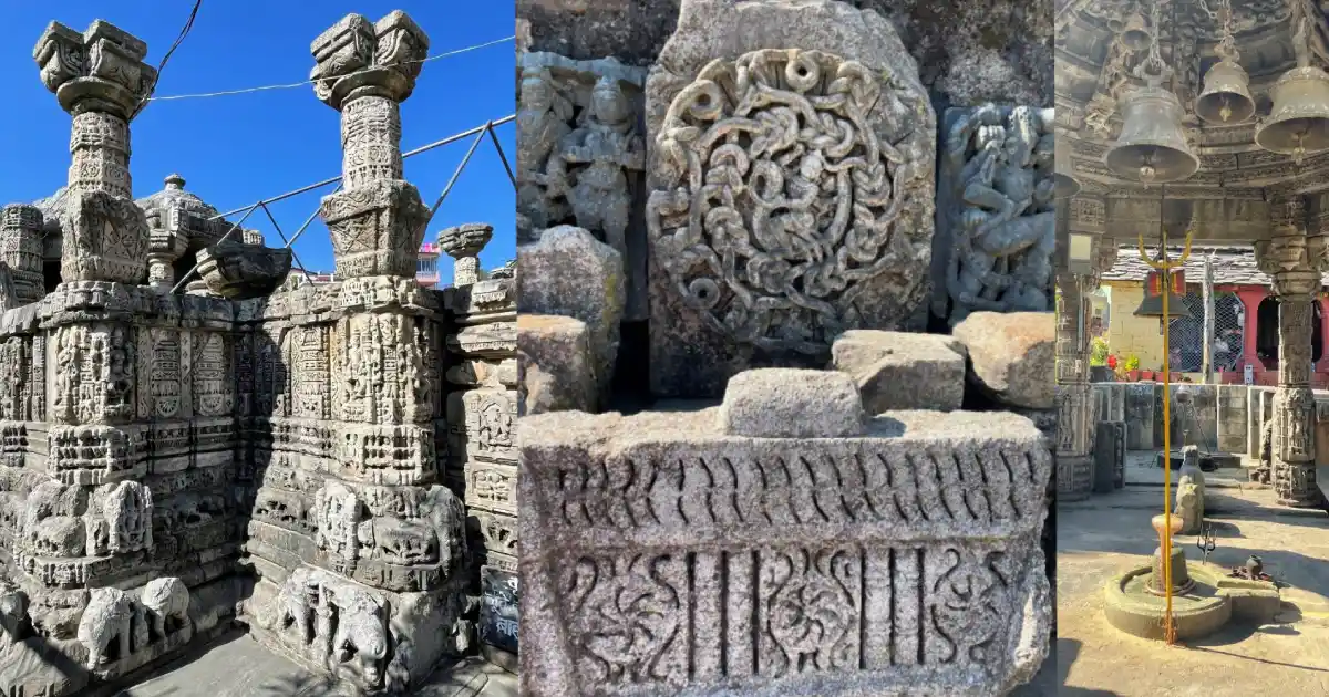
Many of these are active places of worship, and some are reached only on foot. Dress modestly, follow temple rules, and take care on steep hill paths.
The Champawat Tiger and the Jim Corbett Connection
The Champawat Tiger was a female Bengal tiger blamed for an estimated 436 deaths in Nepal and the Kumaon region in the late 19th and early 20th centuries. After she was driven out of Nepal, she settled around Champawat and kept attacking villagers. She was shot on 12 May 1907 by Jim Corbett, then in his early 30s, after a beat involving hundreds of villagers. The record number of victims attributed to her is the highest for any single big cat.
The district administration notes that the first story in Corbett’s book Man-Eaters of Kumaon is set in Champawat, and Corbett’s Temple Tiger story is linked to Devidhura. The district website also lists a “Champawat Saras Corbett Mahotsav 2026” among its public notices.
Tiger-related tourism is part of Champawat’s identity today, but visitors should remember that the tiger story is a historical one. Wild animals still live in the forests around the district, so follow forest-department advice on trekking and night travel.
How to Reach Champawat
By air: The nearest airport is Pantnagar Airport in Udham Singh Nagar district, about 160 km from Lohaghat and Mayawati.
By rail: Tanakpur is the nearest railway station and the district’s rail link. It is about 73-75 km from Champawat town and about 60 km from Lohaghat. Kathgodam is another major railhead for Kumaon.
By road: Champawat is connected by road with Tanakpur, Pithoragarh, Almora and Nainital. The Tanakpur-Champawat road is listed as National Highway 9, and buses and shared taxis run from Tanakpur to Champawat and Lohaghat. From Delhi, Tanakpur is roughly 350 km by road, and Lohaghat is a little over 430 km. Buses run from Delhi’s Anand Vihar ISBT to Tanakpur and Lohaghat.
Other approximate distances: Champawat to Lohaghat is about 13-14 km by road, Lohaghat to Abbott Mount is about 7-9 km, Lohaghat to Mayawati Ashram is about 9 km, Lohaghat to Devidhura is about 45 km, and Champawat to Pancheshwar is about 40 km.
Purnagiri is roughly 20 km from Tanakpur, with a short uphill walk at the end. These are approximate route distances, not guaranteed travel times. Landslides can delay journeys during the monsoon, so confirm current bus or shared-taxi services before departure.
Weather and Best Time to Visit
Champawat’s weather depends on altitude. Champawat town, Lohaghat and Abbott Mount are cool, while Tanakpur and Banbasa near the plains are much warmer.
Live weather and temperature for Champawat. Higher places such as Abbott Mount and Mayawati are colder, and Tanakpur is warmer.
As a rough guide, typical average daytime highs in Champawat town are about 14°C in January and about 28°C in June, with winter night lows close to freezing. Check a live forecast for your dates before you travel.
- Winter (December to February): Cold, with occasional snowfall in the hills, especially around January. Roads to higher places such as Abbott Mount can be affected.
- Spring and early summer (March to June): Pleasant and generally the best time for sightseeing and walks, with clear views of the Himalaya on good days.
- Monsoon (July to September): Heavy rain, mist, and landslide risk on hill roads. Check current conditions before travelling.
- Autumn (October to November): Cool and clear, with good visibility and chilly nights.
March to June and October to November are generally the most comfortable months to visit Champawat. The Purnagiri fair season in March-April is very crowded.
Champawat District Map and Location
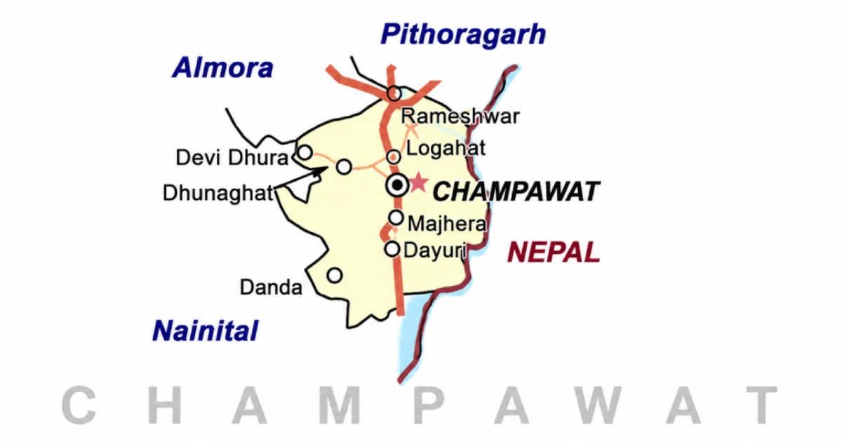
On the Champawat district map, the district lies in southeastern Uttarakhand along the Nepal border, with Champawat town near the centre. It is bordered by:
- North: Pithoragarh district.
- East: Nepal, along the Sharda (Mahakali) River.
- South: Udham Singh Nagar district.
- West: Nainital district.
- Northwest: Almora district.
Use an official map or navigation app for road distances and current route conditions, especially near the international border.
Accommodation and Where to Stay
Choose your overnight base around the main purpose of the trip:
- Champawat: Hotels and guesthouses for temples, the naula and the tea gardens.
- Lohaghat: The usual base for Abbott Mount, Mayawati Ashram and Banasur Fort.
- Abbott Mount: Heritage cottages and a tourist rest house, with limited facilities and patchy mobile signal.
- Tanakpur: Convenient for arrival by train and for the Purnagiri pilgrimage.
- Mayawati Ashram: The ashram offers board and lodging to visitors on request, subject to its rules.
Confirm heating, meals, hot water, parking, road access, and cancellation terms directly. Remote stays may offer fewer services than town hotels, and winter snow can affect access.
Suggested Itineraries
These are planning examples, not fixed packages or confirmed operating routes.
- Two days in Champawat town: Baleshwar Temple, Nagnath Temple, Ek Hathiya Ka Naula, Kranteshwar Mahadev and a visit to a tea garden.
- Two to three days around Lohaghat: Banasur Fort, Mayawati Ashram and Abbott Mount, with time for walks and views.
- Purnagiri pilgrimage from Tanakpur: A one-day trip, best planned outside the very crowded Chaitra Navratri fair days if you want a quieter visit.
- Devidhura: A long day trip from Lohaghat or Almora, especially around Raksha Bandhan if you want to see Bagwal.
- Pancheshwar: A day trip for the river and angling, subject to current permissions.
Adjust the plan to your starting city, fitness, transport, and season. Covering the whole district in a weekend is unrealistic.
Sports in Champawat
Champawat’s sporting life is closely linked to its schools, colleges and the hill terrain. Football, cricket, volleyball, athletics and badminton are among the games commonly played at school and college level, and the district’s steep roads and hill paths suit running and trekking.
A local news report from December 2022 said badminton is growing in popularity in the district, and a synthetic badminton court was being planned at Lohaghat. At Abbott Mount, a hilltop cricket pitch near the cottages is reputed to be one of the highest in the world. For state-level context, see our guides to popular sports in Uttarakhand and the Uttarakhand cricket team.
The biggest sports project linked to the district is the planned women’s sports college. In December 2023, the Chief Minister announced that the state’s first girls’ sports college would come up at Lohaghat, and in June 2026 he said a women’s sports college was being established in Champawat at an estimated cost of about ₹257 crore. Read more about the state’s plans in our report on the new academies, sports university and women’s college.
Students and parents should enquire through their school, college or the District Sports Office about coaching and the pathway to recognised competitions. Coaching availability differs by sport and location, so confirm the current programme before travelling to a facility or enrolling a child.
Trekking, Angling and Outdoor Activities
Champawat offers walking, trekking and river-based activities rather than large-scale adventure sports. Popular options include walks around Abbott Mount and Lohaghat, the uphill walk to Purnagiri, forest paths near Devidhura, and angling for golden mahseer at Pancheshwar. Uttarakhand Tourism also lists rafting at Pancheshwar, subject to season and arrangements.
Bird-watching is popular around Abbott Mount, where hundreds of species have been recorded in the wider area according to tourism sources. Some routes need a local guide and an early start. Check weather, road access and permissions beforehand, carry water, and avoid unmarked tracks during the monsoon. Rivers along the border area need extra care, and fishing and rafting should be done only through registered operators.
Sports Facilities, Training and Athlete Opportunities
The Sports Department of the Government of Uttarakhand runs district-level programmes through the District Sports Office, Champawat. Use the district website to find the current contact details, and ask about coaching, trials, age groups, and documents required. According to a government schemes portal, district-level training camps are announced by the District Sports Officer’s office, usually around March, and selection trials for sports colleges and hostels start at the district level before moving to the state level.
In August 2026, selection trials for the Chief Minister’s Emerging Player Promotion Scholarship Scheme were held in Champawat, according to a local news report. For more on the state set-up, read our guides to the Uttarakhand Sports Department and the Uttarakhand Sports University in Haldwani.
For scholarships and equipment help, refer to a current official notice from the Department of Sports, and read about the USF Sports Scholarship Program. Keep age, residence and achievement records ready; availability and eligibility differ between programmes.
Sportspersons from Champawat
Champawat district is a small and remote district, and its young players usually train through school and college programmes, the Sports Department’s district camps and hostels, and state-level trials. Many go on to train at state institutions in Dehradun and Haldwani.
We could not confirm, from official or well-documented sources, a nationally recognised sportsperson born in Champawat district at the time of writing, so we have not listed any names here. We will add verified profiles as they are confirmed. For well-documented athletes across the state, see our list of famous Uttarakhand sportspersons and our guide to cricketers from Uttarakhand.
Young players can start with school, college and club programmes and the Sports Department’s district trials.
Education, Training and Research Institutions
Institutions in the district include:
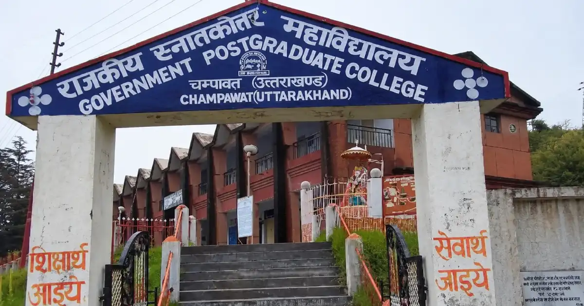
- Government PG College, Champawat: A degree college in the district headquarters.
- Government College, Tanakpur: A degree college in Tanakpur.
- APJ Abdul Kalam Institute of Technology, Tanakpur: A technical institute.
- Government Polytechnic, Tanakpur: A technical training institution.
- Rajiv Navodaya Vidyalaya, Lohaghat: A residential school.
- Government Inter College, Champawat: A government school with a hostel under development.
- District Education and Training Institute (DIET): A teacher-training institution at Champawat.
Students preparing for state government jobs can read our guides to the UKPSC and the UKSSSC. Students should check current courses, admissions, fees and eligibility directly with each institution.
Administrative Structure
The District Magistrate heads the district administration from the Collectorate at Champawat. The district website listed Manish Kumar (IAS) as District Magistrate at the time of review, but officers change with postings, so check the website for the current DM and contact details. Revenue administration operates through tehsils, while development blocks support local planning and programme implementation.
The district has 4 development blocks: Barakot, Champawat, Lohaghat and Pati. It has 5 tehsils: Barakot, Champawat, Lohaghat, Pati and Purnagiri, along with two sub-tehsils, Pulla and Munch. There are 705 villages and 313 gram panchayats. Check current district notices, as administrative units have been added over time.
Urban bodies include the Nagar Palika Parishad of Champawat, Tanakpur, and Lohaghat, and Banbasa is a census town. For a certificate or local service, first identify the relevant village, block, tehsil, or municipal office. The district has two assembly constituencies, Champawat and Lohaghat. For the state’s leadership, see our page on the Chief Minister of Uttarakhand.
Important Towns and Settlements
- Champawat: District headquarters and the old Chand capital.
- Tanakpur: The largest town and the main railhead, on the Sharda River.
- Lohaghat: A hill town and tehsil headquarters, the base for Abbott Mount and Mayawati.
- Banbasa: A census town near the Sharda barrage area close to the Nepal border.
- Barakot and Pati: Tehsil and block centres in the interior hills.
- Purnagiri: A tehsil and the site of the Shakti Peeth.
- Devidhura: A temple village at the meeting point of Champawat, Almora and Nainital districts.
- Dhaun: A settlement on the Tanakpur-Champawat road, known for a small waterfall.
These places lie along different travel corridors. Select accommodation and transport according to the destination you intend to explore.
Nature and Biodiversity
Champawat’s landscape ranges from the Sharda River plain near Tanakpur to ridges covered with deodar, pine, oak and rhododendron. Around Lohaghat and Abbott Mount, the forests are cool and dense, and clear days give views of Himalayan peaks. Tea gardens near Champawat town are part of the local landscape, and the Uttarakhand Tea Development Board runs a tea factory on the Tanakpur Road near Champawat.
Wildlife sightings are never guaranteed. Follow forest rules, take your waste back, and avoid disturbing river banks and village forests. A small waterfall at Dhaun, on the Tanakpur Road, is a popular stop. The Sharda River forms the international border, so follow local instructions near the river and border areas.
Culture, Traditions, Festivals and Fairs
Champawat’s culture is rooted in Kumaoni traditions, and Kumaoni is the first language of most residents. Chand-era temples, folk deities such as Golu Devta, and village fairs remain part of community life.
The best-known events are the Bagwal at Devidhura on Raksha Bandhan, the Purnagiri fair during Chaitra Navratri, and the Mahashivratri fair at Baleshwar Temple. Bagwal, in which two groups throw stones and fruit at each other while shielding themselves, is a traditional ritual linked to the worship of Barahi Devi. It is a highly regulated event, and visitors should follow administrative instructions. You can also read about the Kumaoni festival Harela.
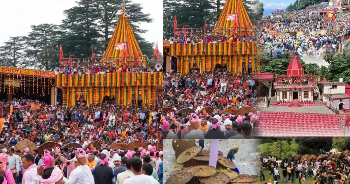
Dates and programmes differ from year to year. Village celebrations also vary across the district, so ask local hosts about the customs of the place you are visiting rather than assuming every community follows the same practice.
Local Food
Food in Champawat reflects Kumaoni mountain cuisine and locally available crops. Depending on the household and season, meals may feature mandua, jhangora, pulses, leafy vegetables and simple home-style preparations.

Regional dishes to ask about in Champawat include aloo ke gutke, phaanu, gahat ki dal and bhatt ki churkani. These belong to the wider Kumaoni tradition and may not appear on every restaurant menu. Hill-town eateries mostly serve North Indian and tourist-friendly food. Bal Mithai is the local sweet to look for in the market.
Homestays can be a good place to learn about household food traditions. Confirm meals in advance, especially if you have dietary requirements or will arrive late.
Livelihoods and the Local Economy
Agriculture on terraced fields is the main occupation for most rural households, supported by vegetable growing and minor forest produce. Tea cultivation has been taken up in the four blocks of Champawat, Lohaghat, Pati and Barakot under the Uttarakhand Tea Development Board, which established a tea factory in the district in 2013.
Tourism, pilgrimage and trade, especially at Tanakpur and Banbasa near the border, create seasonal work in stays, transport, guiding and food services. Government services and education also employ people in the main towns. The state government has announced several infrastructure projects for the district in recent years, so check current official sources for their status.
Visitors can support the local economy through locally operated stays, produce and skilled services. Young people considering work in tourism, adventure or sports should enquire about training, qualifications and the operating requirements for the activity they want to pursue.
Healthcare, District Administration and Emergency Contacts
Emergency assistance: 112 | Ambulance: 108 | Disaster helpline: 1077.
The District Hospital, Champawat, is on the Tanakpur Road in Champawat, and there are sub-district hospitals at Tanakpur and Lohaghat. According to the district administration’s administrative-setup page, the district also has Ayurvedic and homeopathic hospitals, primary health centres, and community health centres. Facilities in remote hill areas are fewer and farther apart, so plan travel and medical needs, especially for treks and winter travel. Larger hospitals are in Haldwani and other towns on the plains.
The District Court, Champawat serves the district, and a Civil Judge (Junior Division) court also functions at Tanakpur. For case status, notices and contacts, use the Champawat district court website. For district office and department numbers, use the directory on the District Administration website.
Contacts and facilities were reviewed on 19 October 2026; telephone availability has not been tested. Use 112 for immediate emergencies, and take extra care near rivers and on steep hill roads.
Frequently Asked Questions
Champawat, Uttarakhand: where is it?
Champawat is a district and a town in the Kumaon division of Uttarakhand, in the southeast of the state, along the border with Nepal.
Which state is Champawat in?
Champawat is in Uttarakhand, in northern India. Do not confuse it with Chamba in Himachal Pradesh.
What is the location of Champawat district?
It lies in eastern Kumaon, bordered by Pithoragarh to the north, Nepal to the east, Udham Singh Nagar to the south, Nainital to the west and Almora to the northwest.
What is the headquarters of Champawat district?
The district headquarters is Champawat town, at an elevation of about 1,615 metres.
What are the tehsils of Champawat district?
The five tehsils are Barakot, Champawat, Lohaghat, Pati and Purnagiri, along with two sub-tehsils, Pulla and Munch. Check the district website for the current list.
What are the blocks of Champawat district?
There are four development blocks: Barakot, Champawat, Lohaghat and Pati.
What is the population of Champawat district?
The Census 2011 district total is 2,59,648. It should not be presented as a current estimate.
What is the history of Champawat district?
Champawat was the capital of the Chand dynasty, which ruled Kumaon from here. The British took over Kumaon in 1815, and Champawat became a tehsil of Pithoragarh district in 1972. It became a separate district in 1997 and part of Uttarakhand in 2000.
Champawat district kab bana?
Champawat district was formed on 15 September 1997 by taking areas from Pithoragarh and Nainital districts.
What is Champawat district famous for?
It is known for the Baleshwar Temple, Purnagiri Shakti Peeth, Mayawati Ashram, Abbott Mount, Banasur Fort, the Devidhura Bagwal fair and the story of the Champawat Tiger.
What is the Champawat PIN code?
The PIN code of Champawat is 262523. Other places have their own codes; for example, Lohaghat is 262524 and Tanakpur is 262309. Check the India Post search for the exact village.
Champawat, Uttarakhand 262523: which area is this?
262523 is the PIN code of Champawat town, the district headquarters, which includes the Collectorate area.
Who is the DM of Champawat?
The District Magistrate heads the district administration. The district website listed Manish Kumar (IAS) as DM at the time of review, but officers change with postings, so check the website for the current DM and contact details.
What is the weather in Champawat?
Champawat town at about 1,615 metres is cool, with cold winters and occasional snowfall and a wet monsoon. Tanakpur and the plains edge are warmer. Check the live forecast for your dates.
What is the temperature in Champawat?
Typical average daytime highs are about 14°C in January and about 28°C in June, with winter nights close to freezing. Higher places such as Abbott Mount are colder.
What is the best time to visit Champawat?
March to June and October to November are generally the most comfortable. Winter brings snow in the hills, and the monsoon can disrupt roads.
Is Lohaghat in Champawat district?
Yes. Lohaghat is a town and tehsil in Champawat district, about 13-14 km from Champawat town.
Is Tanakpur in Champawat district?
Yes. Tanakpur is the largest town and the main railhead of Champawat district, on the Sharda River.
Is Purnagiri in Champawat district?
Yes. Purnagiri is a tehsil in Champawat district, and the Purnagiri Temple is a Shakti Peeth near Tanakpur.
What is the Champawat Tiger?
The Champawat Tiger was a man-eating tigress blamed for about 436 deaths in Nepal and Kumaon. She was shot by Jim Corbett in 1907, and the story is the first in his book Man-Eaters of Kumaon.
What are the places to visit in Champawat?
Popular places include Baleshwar Temple, Ek Hathiya Ka Naula, Kranteshwar Mahadev, Lohaghat, Abbott Mount, Mayawati Ashram, Banasur Fort, Purnagiri, Devidhura and Pancheshwar.
How to reach Champawat?
The nearest railway station is Tanakpur, about 73-75 km from Champawat, and the nearest airport is Pantnagar, roughly 160 km from Lohaghat. The rest of the journey is by road.
What is Baleshwar Temple in Champawat?
Baleshwar Temple is an ancient Shiva temple built in the Chand period. It is known for its stone carving, its naula and the Mahashivratri fair, and its compound also holds shrines to Ratneshwar and Champawati Durga.
What is Purnagiri Temple known for?
Purnagiri is a Shakti Peeth where Sati’s navel is believed to have fallen. A large fair is held here during Chaitra Navratri.
What is Mayawati Ashram in Lohaghat?
Mayawati Ashram, also called Advaita Ashrama, is a branch of the Ramakrishna Math, founded on 19 March 1899 at Swami Vivekananda’s inspiration. It is at about 1,940 metres, roughly 9 km from Lohaghat, and publishes Vivekananda’s writings.
What is Abbott Mount in Lohaghat?
Abbott Mount is a small hill hamlet founded by John Harold Abbott, with 13 colonial-era cottages, a church and a hilltop cricket pitch, a few kilometres from Lohaghat.
What is Banasur Fort in Champawat?
Banasur Fort is a hilltop fort ruin near Lohaghat, linked in legend to the demon king Banasur and Lord Krishna.
Where is the district court of Champawat?
The District Court, Champawat, is in Champawat town, and a Civil Judge (Junior Division) court also functions at Tanakpur. See the court website for current details.
Where is the district hospital of Champawat?
The District Hospital is on the Tanakpur Road in Champawat town. There are also sub-district hospitals at Tanakpur and Lohaghat.
What sports are popular in Champawat?
Football, cricket, volleyball, athletics, and badminton are among the games commonly played in schools and colleges, and a women’s sports college is planned in the district.
Which sportspersons are from Champawat?
We have not yet confirmed a nationally recognised sportsperson born in Champawat district from well-documented sources, so none is named here. See our guide to famous Uttarakhand sportspersons for verified profiles from across the state.
Where can I find current openings and permissions?
Use district administration notices, official tourism information, and the relevant forest authority for treks and protected areas.
Useful Official Links
District Administration | Champawat Tourism | Uttarakhand Tourism: Champawat | District History | District Court Champawat | Champawat District (Wikipedia) | Department of Sports | Disaster Management
Population: Census 2011. Area, tehsils, blocks, and history: Champawat district administration and district records. Baleshwar Temple, Purnagiri and Abbott Mount: government tourism and published sources. Elevations and distances: published sources and may vary. Information reviewed: 19 October 2026.
One Response