Introduction
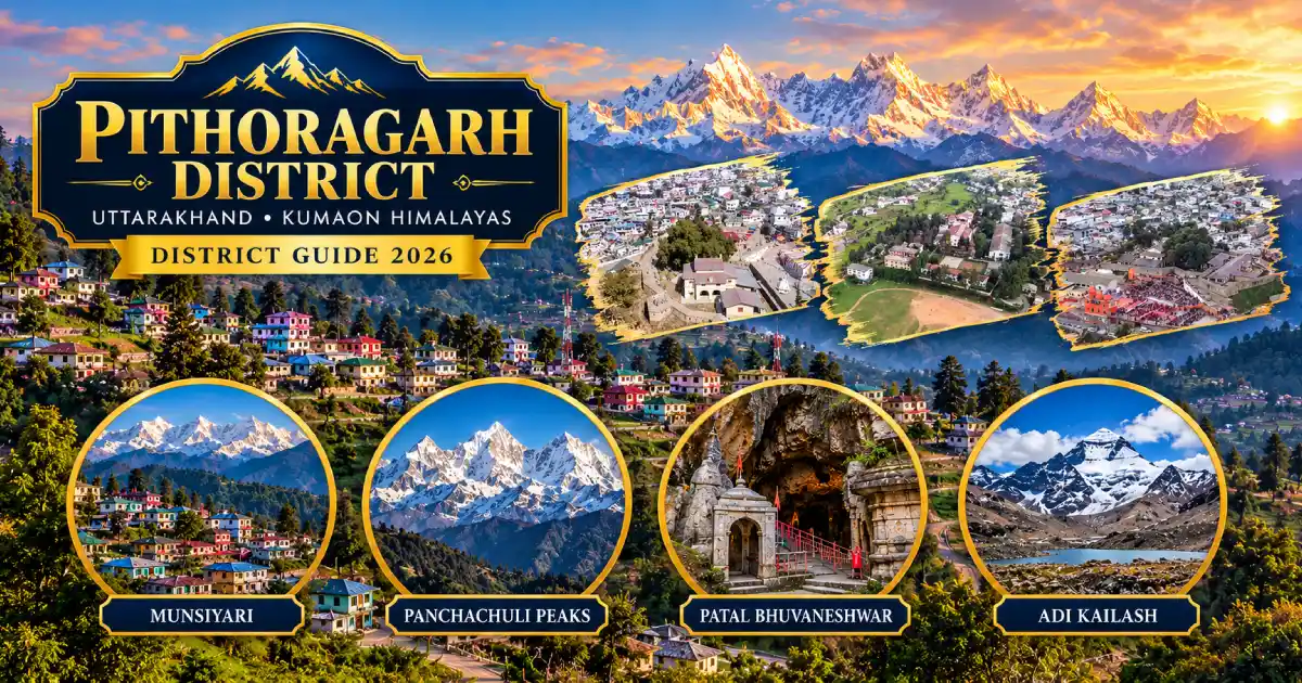
Pithoragarh district is the easternmost district of Uttarakhand, in the Kumaon division. It is best known for the Saur Valley and Pithoragarh town, the hill town of Munsiyari at the foot of the Panchachuli peaks, the Patal Bhuvaneshwar cave temple near Gangolihat, the tea-garden hills of Berinag and Chaukori, and Dharchula, the gateway to the Adi Kailash and Kailash Mansarovar routes. The district is often called “Mini Kashmir” or “Little Kashmir”, and its headquarters is Pithoragarh town.
Pithoragarh is one of the 13 districts of Uttarakhand. Its entire northern and eastern boundary is international, with Tibet to the north and Nepal to the east along the Kali (Sharda or Mahakali) River, so it is a strategically important and politically sensitive border district. It was carved out of Almora district in 1960, and in 1997 its Champawat tehsil became the separate Champawat district.
This guide covers the district’s history, map and location, tehsils and blocks, places to visit, travel, weather, sports, education, culture and public services. Munsiyari, Chaukori, Dharchula, Didihat and Gangolihat are all in Pithoragarh district.
District at a Glance
- State: Uttarakhand; division: Kumaon.
- Headquarters: Pithoragarh, at an elevation of about 1,645 metres in the Saur Valley.
- District since: 24 February 1960, when a large part of Almora district was carved out because of the district’s border location. Champawat tehsil was separated as Champawat district on 15 September 1997.
- Area: About 7,217 square kilometres according to the district administration; Wikipedia gives about 7,110 square kilometres.
- Population: 4,83,439, according to the 2011 Census. This is a historical census figure, not a current estimate.
- Sex ratio (Census 2011): About 1,021 females per 1,000 males; literacy: about 83 per cent; density: about 69 people per square kilometre.
- Languages: Kumaoni is the first language of about 88 per cent of the population, followed by Hindi at about 7 per cent. Small communities in the high valleys speak Byansi, Chaudangsi, Darmiya and Rangkas.
- Tehsils: The original six are Pithoragarh, Munsiyari, Dharchula, Didihat, Gangolihat and Berinag. The district website now lists 11 tehsil-level units, including Ganai Gangoli, Bangapani, Thal, Kanalichhina and Devalthal. Check the district website for the current list.
- Development blocks (8): Berinag, Bin (Pithoragarh), Dharchula, Didihat, Gangolihat, Kanalichhina, Munakot and Munsiyari.
- PIN code: 262501 (Pithoragarh); STD code: 05964; vehicle registration: UK 05.
- Main attractions: Pithoragarh Fort, Chandak, Thal Kedar, Munsiyari, Patal Bhuvaneshwar, Hat Kalika, Chaukori, Berinag, Askot Musk Deer Sanctuary, Dharchula, Adi Kailash and Om Parvat.
Location and Geography
Pithoragarh lies in the far east of Uttarakhand, between about 29.4° and 30.3° north latitude and 80° and 81° east longitude. The Kali River forms a continuous border with Nepal to the east, the Indo-Tibetan watershed marks the border to the north, and the district is surrounded by Almora, Champawat, Bageshwar and Chamoli districts. You can read about neighbouring districts in our guides to Almora, Bageshwar and Chamoli.
The landscape ranges from warm river gorges near Dharchula and Jhulaghat to glaciers and peaks above 7,000 metres. The Johar, Darma, Chaudans and Byans valleys lie in the north, and rivers such as the Gori Ganga, Dhauliganga, Ramganga and Saryu drain the district. High peaks include Nanda Devi East (about 7,434 metres), Hardeol (about 7,151 metres) and the Panchachuli group. Areas above 3,500 metres have permanent snow cover. Hill roads are slow, so plan journeys by road corridor rather than by distance on a map.
History of Pithoragarh District
According to the district administration, the Saur Valley was once ruled by local chiefs, and later by the Pal dynasty based at Askot. A copper plate of 1420 records that the Pals were displaced by the Chand kings of Kumaon, and in the mid-15th century the Chands took the Saur Valley. Tradition links the name Pithoragarh with a fort built by a ruler called Piru (Prithvi) Gusain, though the district website says the present fort was built by the Gorkhas in 1789.
The Gorkhas took over Kumaon in the late 18th century. British rule began after the Treaty of Sugauli of 2 December 1815, which made the Kali River the boundary with Nepal. Pithoragarh remained a tehsil of Almora district until 24 February 1960, when a large part of Almora was carved out as the new border district of Pithoragarh. Historically, the Bhotiya communities of the northern valleys traded with Tibet over passes such as Lipulekh, and that trade ended with the 1962 war and later resumed under regulation. The district lost its Champawat tehsil to the new Champawat district on 15 September 1997, and it became part of Uttarakhand in 2000.
The district’s history also includes the explorer Pandit Nain Singh Rawat, from the Johar valley; read his story in our article on Pandit Nain Singh Rawat.
Famous Places to Visit in Pithoragarh District


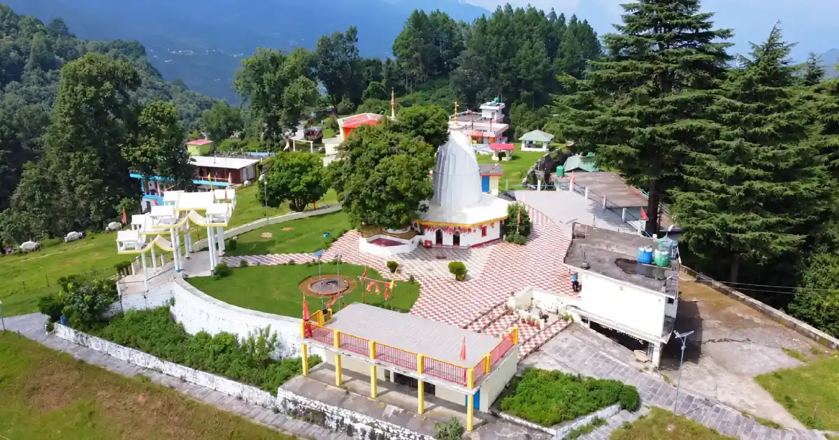

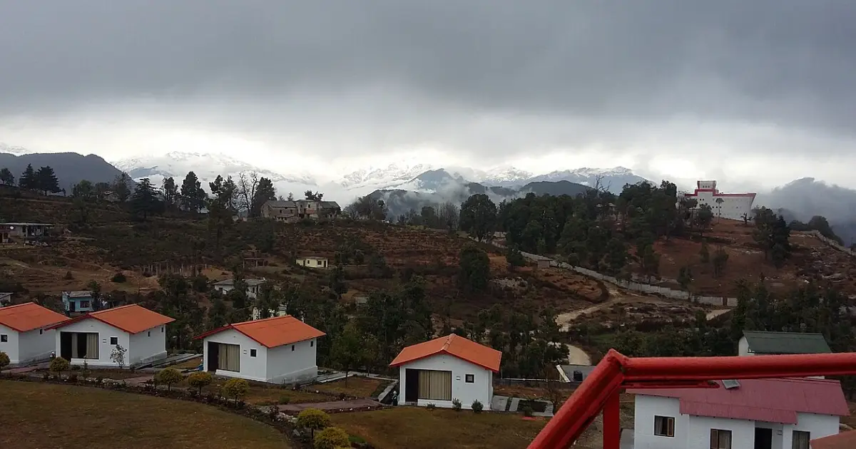
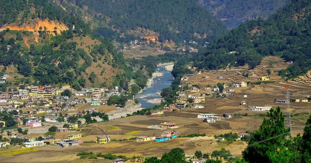
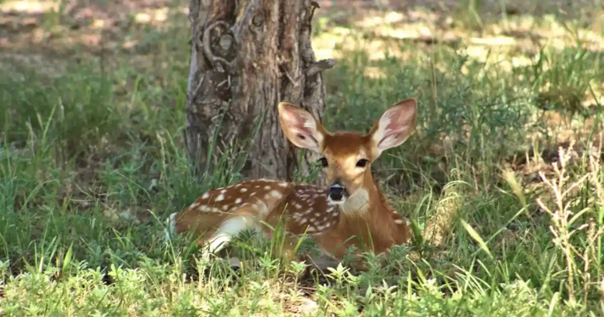
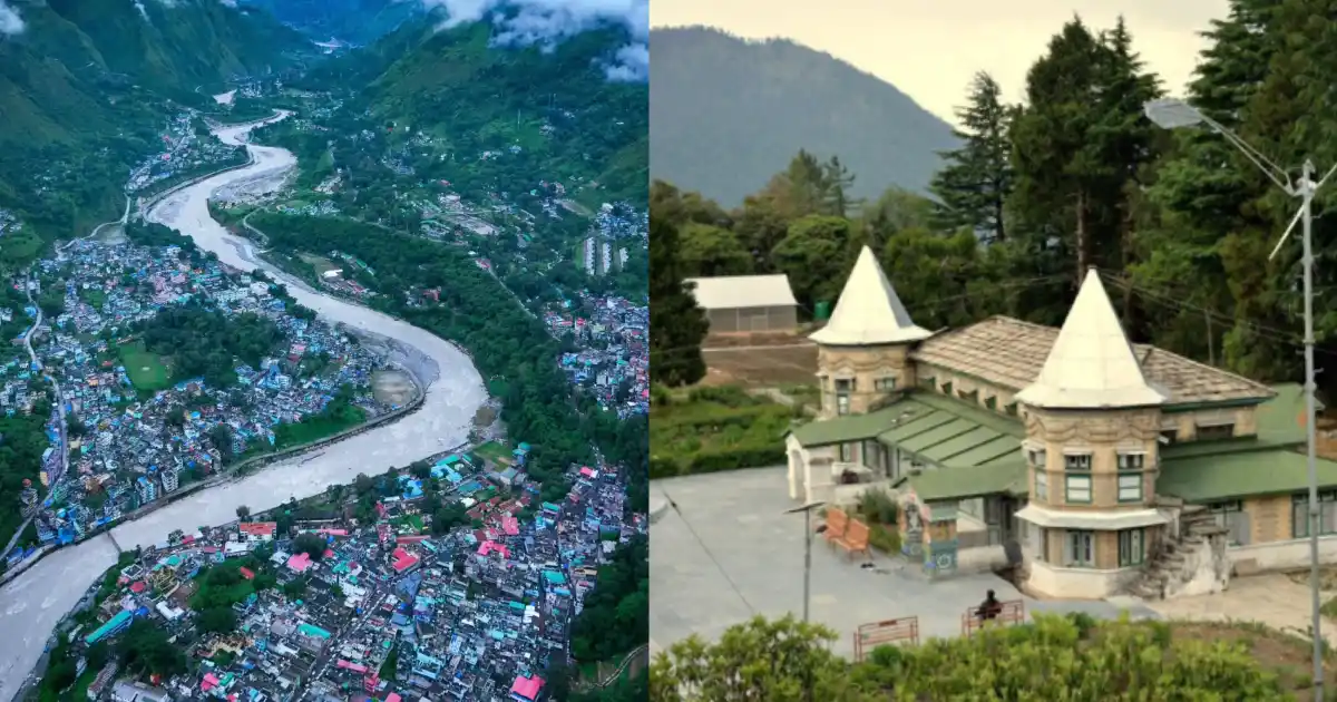

Distances in this guide are approximate. Opening days, entry rules and seasonal access can change, so check the current arrangements for each place before you travel.
Religious and Heritage Sites
- Patal Bhuvaneshwar: A limestone cave temple traditionally believed to hold the abode of 33 crore deities, and described in the Manas Khand of the Skanda Purana.
- Hat Kalika (Mahakali), Gangolihat: A major Shakti shrine, regarded as the deity of the Kumaon Regiment; the Hatkalika fair is held on Ashtami of the Chaitra month. See our Almora district guide for the Kumaon Regimental Centre at Ranikhet.
- Thal Kedar: A Shiva temple site with a large Mahashivratri fair.
- Mostamanu temple, Chandak: A highly revered local shrine, about 2 km from Chandak.
- Nanda Devi Temple, Munsiyari: A shrine to Goddess Nanda reached by a short trek of about 3 km from the road.
- Nag temples and Tripura Devi, Berinag and Chaukori: Snake temples and a cave temple at Koteshwar.
- Narayan Ashram, near Dharchula: A hill ashram on the route to the Kailash Mansarovar yatra.
- Pithoragarh Fort: A Gorkha-era fort on a hill above the town.

Many of these are active places of worship, and some are reached only on foot. Dress modestly, follow temple rules, and take care on steep hill paths.
Munsiyari, Adi Kailash and the Kailash Mansarovar Route
Munsiyari is the main hill town of the northern part of the district. It sits at about 2,100-2,200 metres at the entrance of the Johar Valley, which follows the Gori Ganga River up to the Milam Glacier. The Panchachuli peaks, which rise between roughly 6,300 and 6,900 metres, are visible from the town. Maheshwari Kund and Thamri Kund are small alpine lakes near the town, and the Milam, Ralam and Namik glacier treks start from here.
Dharchula is the last major town before the restricted border zone and the base camp for the Kailash Mansarovar yatra, the Adi Kailash yatra and Narayan Ashram. The Hindu pilgrimage route to Mount Kailash and Lake Manasarovar passes through the district via the Lipulekh Pass. The Adi Kailash (Jonglingkong) and Om Parvat peaks, both around 6,191 metres, lie near Gunji and Kalapani in the Vyas valley.
Permits are required for the restricted border areas beyond Dharchula, and rules, road conditions and yatra schedules change from year to year. Check the latest arrangements with the district administration and the Kumaon Mandal Vikas Nigam before planning. The Kailash Mansarovar Yatra via Lipulekh was suspended in 2019 and reopened only when the authorities allowed it, so do not plan on assumptions.
How to Reach Pithoragarh
By air: Naini Saini Airport, about 5-7 km from Pithoragarh town, is a small airstrip built in 1991. Passenger and helicopter services have been announced from time to time, so check the current operator and schedule before relying on it. The nearest airport with regular commercial flights is Pantnagar in Udham Singh Nagar district, roughly 230-240 km by road.
By rail: The nearest railhead is Tanakpur, about 138 km from Pithoragarh, according to the district administration. Kathgodam, near Haldwani, is another major railhead for Kumaon.
By road: Pithoragarh is connected by road with Almora, Champawat, Haldwani and Delhi. From Delhi, the distance is roughly 470-510 km depending on the route, which commonly runs via Moradabad, Khatima, Tanakpur, Champawat and Lohaghat. Dehradun is roughly 320 km away.
Other approximate distances: Champawat is about 76 km, Gangolihat about 77 km, Patal Bhuvaneshwar about 90 km, Dharchula about 90-95 km, Berinag about 102 km, Chaukori about 112 km (via Gangolihat and Berinag), and Munsiyari about 130 km from Pithoragarh. These are approximate route distances, not guaranteed travel times. Landslides can delay journeys during the monsoon, so confirm current bus or shared-taxi services before departure. You can also read our guide to flash floods in Uttarakhand for monsoon safety.
Weather and Best Time to Visit
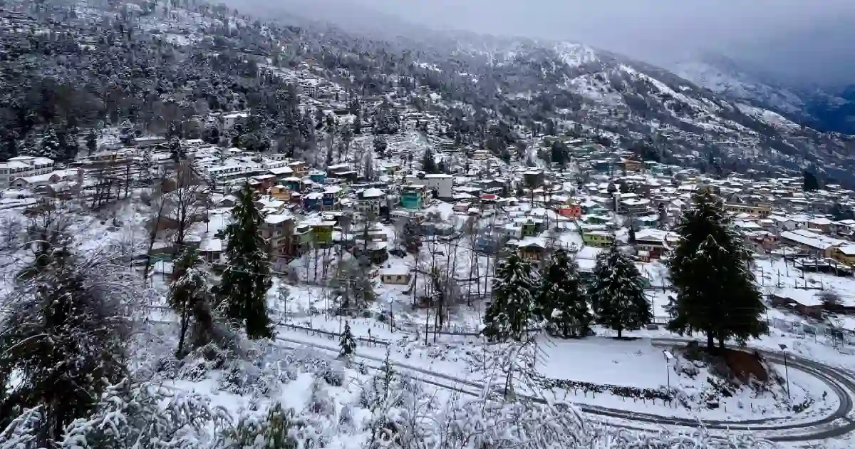
The weather in Pithoragarh varies greatly with altitude. Pithoragarh town, being in a valley, is relatively warm in summer and cool in winter, while Munsiyari, Chaukori and the high valleys are much colder. Low river gorges such as Dharchula and Jhulaghat can become very hot in summer, with temperatures reaching around 40°C, according to published sources.
Live weather and temperature for Pithoragarh. Munsiyari and the high valleys are colder, and river gorges are warmer. For the official forecast, see the India Meteorological Department.
As a rough guide, daytime highs in Pithoragarh town are about 12-16°C in January, with night lows between about 1°C and 4°C, and highs near 28°C in June. Check a live forecast for the weather report on your exact dates.
- Winter (December to February): Cold, with snowfall on higher ridges and occasional snow in higher parts of the district. Roads to high areas can be blocked.
- Spring and early summer (March to June): Pleasant and generally the best time for sightseeing, with clear Himalayan views.
- Monsoon (mid-June to mid-September): Heavy rain and landslide risk on hill roads. Check current conditions before travelling.
- Autumn (September to November): Clear and cool, with good mountain views.
March to June and September to November are generally the best months to visit Pithoragarh. The best time for treks and the Adi Kailash route is usually May-June and September-October.
Pithoragarh District Map and Location
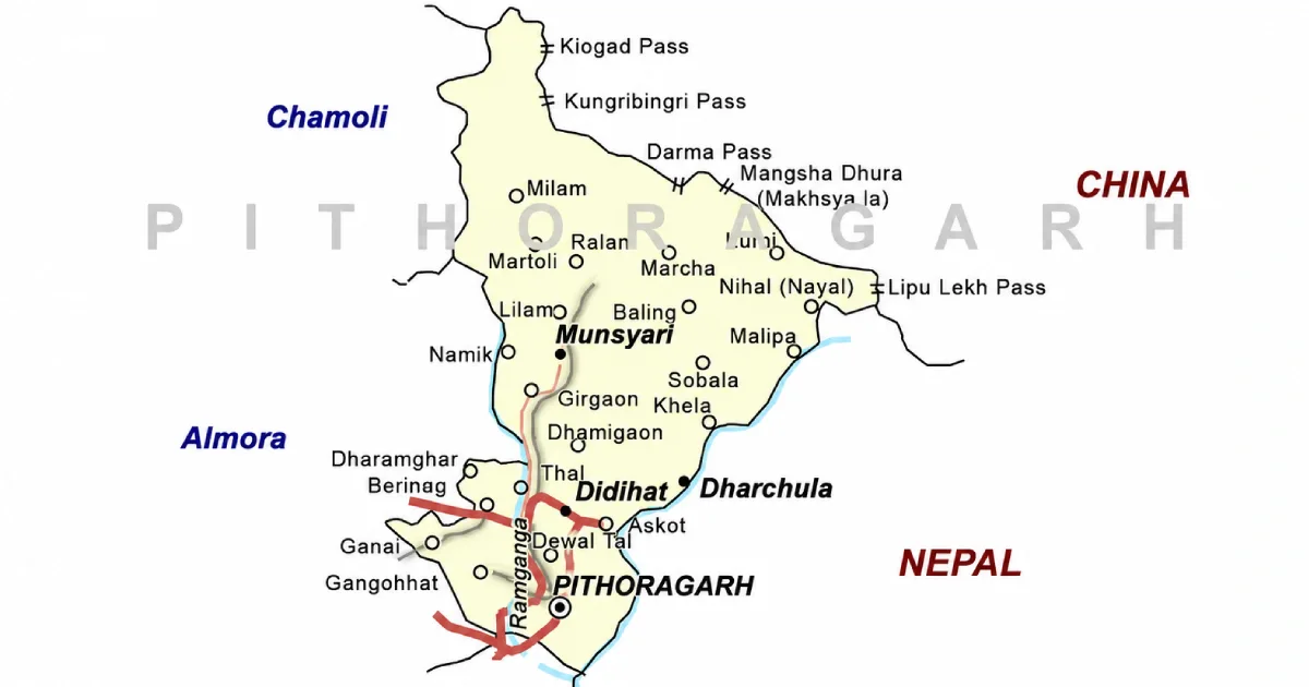
On the Pithoragarh district map, the district lies in the far east of Uttarakhand, with Pithoragarh town in the south-central part. It is bordered by:
- North: Tibet (China), along the Indo-Tibetan watershed.
- East: Nepal, along the Kali (Sharda or Mahakali) River.
- South and west: Champawat, Almora and Bageshwar districts.
- Northwest: Chamoli district.
Neighbouring districts touch Pithoragarh at different points, so the compass directions above are approximate. Use an official map or a navigation app for road distances and current route conditions, especially near the international border.
Accommodation and Where to Stay
Choose your overnight base around the main purpose of the trip:
- Pithoragarh: Hotels and guesthouses, convenient for the fort, Chandak, and Thal Kedar, and as the base for the Dharchula road.
- Munsiyari: Hotels, tourist rest houses and homestays, with views of the Panchachuli peaks and the base for glacier treks.
- Chaukori and Berinag: Tourist rest houses, hotels and homestays among tea gardens, with Himalayan views.
- Dharchula: Basic hotels and guesthouses used by pilgrims for the Adi Kailash and Kailash Mansarovar routes.
- Patal Bhuvaneshwar and Gangolihat: Rest houses and simple stays for the cave temple visit.
Confirm heating, meals, hot water, parking, road access, and cancellation terms directly. Remote stays may offer fewer services than town hotels, and winter snow can affect access.
Suggested Itineraries
These are planning examples, not fixed packages or confirmed operating routes.
- One to two days in Pithoragarh: The fort, Chandak and Mostamanu, and Thal Kedar.
- Three to four days in Munsiyari: Nanda Devi Temple, Maheshwari Kund, the Panchachuli views and, for fit walkers, a short section of the Johar valley trail.
- Chaukori, Berinag and Patal Bhuvaneshwar: A three-day loop through tea gardens and the cave temple, with Hat Kalika at Gangolihat on the way.
- Adi Kailash and Om Parvat: A multi-day yatra from Pithoragarh via Dharchula and Gunji, requiring permits and good fitness, usually planned for May-June or September-October.
- Pithoragarh to Champawat: A road trip through Champawat district for Baleshwar Temple, Abbott Mount and Mayawati Ashram.
Adjust the plan to your starting city, fitness, transport, and season. Covering the whole district in a few days is unrealistic.
Sports in Pithoragarh
Pithoragarh’s sporting life is shaped by its border location, its army tradition, and its mountains. Boxing has grown strongly in the district, and a sports news report described Pithoragarh as a boxing hub of northern India. The district has also produced a hockey international, and the mountains give it a long tradition of mountaineering and trekking.
The state’s Sports Department lists the Hari Singh Thapa Sports College, Pithoragarh, among its state-level institutions, and the Pt. Nain Singh Surveyor Mountaineering Training Institute, Munsiyari, is also listed in the Pithoragarh district. The District Sports Office is located at the Sports Stadium in Takana, Pithoragarh. For state-level context, see our guides to popular sports in Uttarakhand and the Uttarakhand Sports Department.
Students and parents should enquire through their school, college, or the District Sports Office about coaching and the pathway to recognised competitions. A disciplined routine, qualified guidance and a record of performances help athletes prepare for trials. Coaching availability differs by sport and location, so confirm the current programme before travelling to a facility or enrolling a child.
Trekking, Mountaineering and Winter Activities
Pithoragarh offers some of the most demanding trekking in Kumaon. From Munsiyari, trails lead to the Milam Glacier (the longest glacier of the Gori Ganga valley, around 18 km long), the Ralam Glacier and the Namik Glacier. A trek from Munsiyari to Milam covers roughly 59 km one way according to a published route description. The Panchachuli and Nanda Devi East base camps are also reached from this side.
Smaller options include Khaliya Top and Betuli Dhar near Munsiyari, which the district administration has promoted for winter tourism, the Chandak ridge near Pithoragarh, which the district website calls a potential hang-gliding site, and walks around Chaukori and Berinag. Bird-watching is popular around Munsiyari, and Uttarakhand’s state bird, the Himalayan monal, lives in the higher forests of the state.
For formal mountaineering training, see the Pt. Nain Singh Surveyor Mountaineering Training Institute at Munsiyari and the Nehru Institute of Mountaineering in Uttarkashi, covered in our Uttarkashi district guide. Many high routes need permits, guides and acclimatisation, and rules for border areas change, so check with the district administration before you plan.
Sports Facilities, Training and Athlete Opportunities
The Sports Department of the Government of Uttarakhand runs district-level programmes through the District Sports Office, Pithoragarh. Use the district website and the Department of Sports website to find current contact details, and ask about coaching, trials, age groups, and documents required.
Institutions listed by the Sports Department include the Hari Singh Thapa Sports College in Pithoragarh and the mountaineering institute at Munsiyari. For the state’s wider plans, see our guides to the Uttarakhand Sports University in Haldwani and the new academies and women’s college. Keep age, residence and achievement records ready; availability and eligibility differ between programmes.
Sportspersons from Pithoragarh
Boby Singh Dhami was born on 1 July 2002 in Katiyani village on the Nepal border in Pithoragarh district. A forward in field hockey, he made his junior India debut at the 2021 Junior World Cup in Bhubaneswar, was part of the team that won the 2023 Men’s Junior Asia Cup, and made his senior India debut in April 2024. He is described as the first male hockey player from Uttarakhand to represent India.
Chandraprabha Aitwal, born in 1941 in Dharchula, is one of the pioneers of Indian women mountaineers. She was part of the Indian Mountaineering Foundation’s 1984 Everest campaign and received the Tenzing Norgay National Adventure Award for Lifetime Achievement in 2009.
Sports reports also name boxers Kavinder Singh Bisht, an Asian Championship medallist, and Duryodhan Singh Negi, a former international boxer, among Pithoragarh’s boxing talent. The cricketer Unmukt Chand, who captained India to the 2012 Under-19 World Cup, has parents who belong to Pithoragarh district.
This list is not exhaustive. For more athletes from across the state, see our list of famous Uttarakhand sportspersons. Young players and climbers can start with school, college and club programmes and the Sports Department’s district trials.
Education, Training and Research Institutions
Pithoragarh is a hill district, and its main education and training facilities are concentrated in Pithoragarh town and a few other centres. Institutions and facilities include:
- Hari Singh Thapa Sports College, Pithoragarh: A state-level sports institution listed by the Sports Department.
- Pt. Nain Singh Surveyor Mountaineering Training Institute, Munsiyari: A mountaineering training institute named after the Johar explorer.
- Girls Inter College, Pithoragarh: A government school on the hill where the Chand-era fort stood.
- Government degree colleges and inter colleges: Present in the main towns of the district; check each institution for courses and admissions.
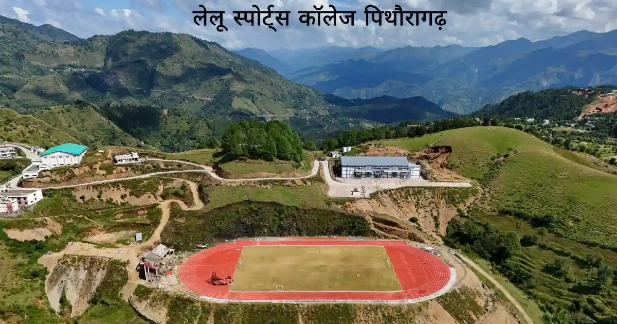
Students preparing for state government jobs can read our guides to the UKPSC and the UKSSSC. Students should check current courses, admissions, fees, and eligibility directly with each institution.
Administrative Structure
The District Magistrate heads the district administration from the Collectorate at Pithoragarh. Reports from October 2025 named Ashish Kumar Bhatgain (IAS) as District Magistrate, but officers change with postings, so check the district website for the current DM and contact details. Revenue administration operates through tehsils, while development blocks support local planning and programme implementation.
The district has 8 development blocks: Berinag, Bin (Pithoragarh), Dharchula, Didihat, Gangolihat, Kanalichhina, Munakot and Munsiyari. The original six tehsils are Pithoragarh, Munsiyari, Dharchula, Didihat, Gangolihat and Berinag, and the district website now lists 11 tehsil-level units that also include Ganai Gangoli, Bangapani, Thal, Kanalichhina and Devalthal. Check current district notices, as administrative units have been added over time.
For a certificate or local service, first identify the relevant village, block, tehsil, or municipal office. Because of its border location, some areas need special permits, and the administration issues notices for restricted zones. For the state’s leadership, see our page on the Chief Minister of Uttarakhand.
Important Towns and Settlements
- Pithoragarh: District headquarters in the Saur Valley.
- Didihat: A tehsil headquarters near Askot, on the way to Munsiyari.
- Gangolihat: A tehsil headquarters famous for the Mahakali temple, on the route to Patal Bhuvaneshwar.
- Berinag and Chaukori: Hill towns known for tea gardens and Himalayan views.
- Munsiyari: A hill town and base for treks in the Johar valley.
- Dharchula: A border town on the Kali River and gateway to the Vyas Valley.
- Jauljibi: A river confluence town on the Dharchula road, known for its trade fair.
- Thal: A transit town on the Ramganga, on the road to Munsiyari.
These places lie along different travel corridors. Select accommodation and transport according to the destination you intend to explore.
Nature and Biodiversity
Pithoragarh’s landscape rises from river gorges with subtropical vegetation through forests of oak, deodar, blue pine and rhododendron to alpine meadows, glaciers and permanent snow. Species recorded in the district include Himalayan birch, Himalayan yew, kafal (bayberry), timur and, in the high meadows, the Brahma Kamal. Rare orchids grow in the high valleys of Milam, Darma, Byans and Kuti.
The Askot Musk Deer Sanctuary, about 600 square kilometres around Askot near Didihat, protects Himalayan wildlife. Wildlife sightings are never guaranteed. Follow forest rules, take your waste back, and avoid disturbing alpine meadows and high-altitude lakes.
High-altitude areas need permits, guides, and careful acclimatisation. Check the relevant forest and border authorities’ arrangements before you plan an excursion.
Culture, Traditions, Festivals and Fairs
Pithoragarh’s culture combines Kumaoni traditions with those of the Bhotiya (Shauka) communities of the northern valleys. The Johari Shaukas live around Munsiyari, while the Rung Shaukas live in the Darma, Chaudans and Byans valleys, and many of these communities traditionally moved between high summer villages and lower winter settlements. Local folk deities, Chand-era temples, and village fairs remain part of community life.
Notable events include the Hatkalika fair at Gangolihat on Chaitra Ashtami, the Mahashivratri fair at Thal Kedar, the Jauljibi trade fair (traditionally held in November), and the Kandali festival, celebrated once every 12 years by people of the Chaudans valley. You can also read about the Kumaoni festival Harela.

Dates and programmes differ from year to year. Village celebrations also vary across the district, so ask local hosts about the customs of the place you are visiting rather than assuming every community follows the same practice.
Local Food
Food in Pithoragarh reflects Kumaoni mountain cuisine and locally available crops. Depending on the household and season, meals may feature mandua, jhangora, bhatt (black soybean), gahat (horse gram) and other pulses, leafy vegetables and simple home-style preparations.

Dishes to ask about include bhatt ki churkani, aloo ke gutke, kafuli and chainsoo. These belong to Kumaon’s broader cuisine and are not specific to Pithoragarh, and they may not appear on every restaurant menu. The district grows apples, pears, plums, and peaches, and Berinag and Chaukori are known for tea. Hill-town eateries mostly serve North Indian and tourist-friendly food.
Homestays can be a good place to learn about household food traditions. Confirm meals in advance, especially if you have dietary requirements or will arrive late.
Livelihoods and the Local Economy
Agriculture on terraced fields and horticulture are the main occupations for rural households, and fruit growing and tea cultivation matter in the Berinag and Chaukori area. Mineral deposits in the district include magnesite, copper, limestone and slate, and a magnesite mining factory is located at Chandak, according to the district website.
Tourism, trekking and pilgrimage, especially the Adi Kailash route, create seasonal work in stays, transport, guiding and food services. Many families also have members in the armed forces and government service. The traditional Bhotiya trade with Tibet over the Lipulekh pass continues only in a regulated form.
Visitors can support the local economy through locally operated stays, produce and skilled services. Young people considering work in tourism, adventure or sports should enquire about training, qualifications and the operating requirements for the activity they want to pursue.
Healthcare, District Administration and Emergency Contacts
Emergency assistance: 112 | Ambulance: 108 | Disaster helpline: 1077.
Pithoragarh town has the main government hospital facilities, and smaller hospitals and health centres serve other towns. Facilities in remote hill areas and along the border are fewer and farther apart, so plan travel and medical needs, especially for treks, the Adi Kailash yatra, and winter travel. Larger hospitals are in Haldwani and other towns on the plains. For hospital details, contact the Chief Medical Officer’s office through the district website.
For district office and department numbers, use the directory on the District Administration website. For restricted border areas, check permit and travel advisories from the administration.
Contacts and facilities were reviewed on 23 October 2026; telephone availability has not been tested. Use 112 for immediate emergencies, and take extra care on steep hill roads, near rivers, and at high altitude.
Frequently Asked Questions
Pithoragarh Uttarakhand: where is it?
Pithoragarh is the easternmost district of Uttarakhand, in the Kumaon division, bordering Nepal to the east and Tibet to the north.
Which state is Pithoragarh in?
Pithoragarh is in Uttarakhand, in northern India.
What is the location of Pithoragarh district?
It lies in the Himalayas in the far east of Uttarakhand, bordered by Tibet to the north, Nepal to the east, and Champawat, Almora, Bageshwar, and Chamoli districts.
What is the Pithoragarh map?
Pithoragarh district lies along the Kali River border with Nepal, with Pithoragarh town in the south-central part and Munsiyari, Dharchula, and the Vyas Valley to the north. See the map section above.
What is the Pithoragarh Uttarakhand map?
On a map of Uttarakhand, Pithoragarh is the district at the far eastern edge, next to the borders with Nepal and Tibet.
What is the headquarters of Pithoragarh district?
The district headquarters is Pithoragarh town, at an elevation of about 1,645 metres in the Saur Valley.
What are the tehsils of Pithoragarh district?
The original six tehsils are Pithoragarh, Munsiyari, Dharchula, Didihat, Gangolihat, and Berinag. The district website now lists 11 tehsil-level units, so check it for the current list.
What are the blocks of Pithoragarh district?
There are eight development blocks: Berinag, Bin (Pithoragarh), Dharchula, Didihat, Gangolihat, Kanalichhina, Munakot, and Munsiyari.
What is the population of Pithoragarh district?
The Census 2011 district total is 4,83,439. It should not be presented as a current estimate.
What is the history of Pithoragarh district?
The Saur Valley was ruled by local chiefs, the Pal dynasty of Askot, and then the Chand kings of Kumaon. British rule began in 1815. Pithoragarh was a tehsil of Almora until it became a district on 24 February 1960, and Champawat was separated in 1997.
What is Pithoragarh district famous for?
It is known for Munsiyari and the Panchachuli peaks, Patal Bhuvaneshwar, Hat Kalika, Chaukori and Berinag tea, and as the gateway to Adi Kailash, Om Parvat and the Kailash Mansarovar route.
What is the Pithoragarh PIN code?
The PIN code of Pithoragarh is 262501. Other places have their own codes; for example, Munsiyari is 262554. Check the India Post search for the exact town or village.
Who is the DM of Pithoragarh?
The District Magistrate heads the district administration. Reports from October 2025 named Ashish Kumar Bhatgain (IAS) as DM, but officers change with postings, so check the district website for the current DM.
What is the weather in Pithoragarh?
Pithoragarh town is relatively warm in summer and cool in winter, while Munsiyari and the high valleys are much colder. Check the live forecast for your dates.
What is the temperature in Pithoragarh?
Typical daytime highs are about 12-16°C in January and about 28°C in June, with winter night lows near 1-4°C. Higher places are colder.
What is the Pithoragarh weather today?
Weather changes daily with altitude and season. Use the live weather widget in this guide or the India Meteorological Department for today’s forecast.
What’s the weather like in Pithoragarh today?
Check the live temperature map above for current conditions in Pithoragarh, and remember that Munsiyari and Chaukori are cooler than the town.
Where can I find the Pithoragarh weather report?
The India Meteorological Department publishes official forecasts. The live widget in this guide shows the current temperature for Pithoragarh.
What is the best time to visit Pithoragarh?
March to June and September to November are generally the best. Winter brings snow to higher areas, and the monsoon can disrupt roads.
Is Munsiyari in Pithoragarh district?
Yes. Munsiyari is a tehsil and hill town in Pithoragarh district, at the entrance of the Johar Valley.
Is Chaukori in Pithoragarh district?
Yes. Chaukori is a hill town in Pithoragarh district, about 10 km from Berinag, known for tea gardens and Himalayan views.
Is Dharchula in Pithoragarh district?
Yes. Dharchula is a tehsil and border town on the Kali River in Pithoragarh district, and the base for the Kailash Mansarovar and Adi Kailash yatras.
Is Didihat in Pithoragarh district?
Yes. Didihat is a tehsil in Pithoragarh district, near Askot and the Askot Musk Deer Sanctuary.
Is Gangolihat in Pithoragarh district?
Yes. Gangolihat is a tehsil in Pithoragarh district, famous for the Mahakali (Hat Kalika) temple.
What are the places to visit in Pithoragarh?
Popular places include Pithoragarh Fort, Chandak, Thal Kedar, Munsiyari, Patal Bhuvaneshwar, Hat Kalika, Chaukori, Berinag, Askot Musk Deer Sanctuary, Dharchula and Adi Kailash.
How to reach Pithoragarh?
The nearest railhead is Tanakpur (about 138 km), and the nearest airport with regular commercial flights is Pantnagar. Naini Saini Airport at Pithoragarh has had limited services. The rest of the journey is by road.
What is the distance from Pithoragarh to Delhi and other places?
Pithoragarh is roughly 470-510 km from Delhi by road, about 320 km from Dehradun, 76 km from Champawat, about 130 km from Munsiyari and about 90-95 km from Dharchula.
What is Pithoragarh Fort?
Pithoragarh Fort, also called the London Fort or Gorkha Fort, is a hilltop fort on the outskirts of the town, built by the Gorkhas in 1789 according to the district administration.
What is Munsiyari known for?
Munsiyari is known for views of the Panchachuli peaks and as the base for treks to the Milam, Ralam and Namik glaciers in the Johar Valley.
What is Patal Bhuvaneshwar?
Patal Bhuvaneshwar is a limestone cave temple at about 1,350 metres near Gangolihat, around 90 km from Pithoragarh, described in the Skanda Purana and visited by pilgrims year-round when open.
What sports are popular in Pithoragarh?
Boxing, hockey, athletics, football, trekking, and mountaineering are the sports most associated with the district.
Which sportspersons are from Pithoragarh?
Hockey player Boby Singh Dhami, mountaineer Chandraprabha Aitwal (born in Dharchula), and boxers such as Kavinder Singh Bisht are linked with Pithoragarh district.
Useful Official Links
District Administration | How to Reach Pithoragarh | Incredible India: Pithoragarh | Uttarakhand Tourism | Kumaon Mandal Vikas Nigam | Pithoragarh District (Wikipedia) | Department of Sports | Disaster Management
Population: Census 2011. Area, tehsils, blocks, and history: Pithoragarh district administration and district records. Places and distances: district administration, Uttarakhand Tourism, and published sources. Sportspersons: Wikipedia and published sports reports. Elevations and distances: published sources and may vary. Information reviewed: 23 October 2026.